Toggle navigation
LMEC Home
Exhibitions
Georeferencing
Tools for Teachers
Collections
My Favorites
Sign Up / Log In
Search
Search the map portal
Map Collection
Map Collection
Map Sets
Search
Search
Search for
Search In
All Fields
Creator
Title
Subject
Place
Search All Digital Collections
Advanced Search
471 Results
My Search
Start Over
More Like
commonwealth:gx41q218c
Remove constraint More Like: commonwealth:gx41q218c
Filter your Search
Place
North and Central America
468
United States
465
Suffolk (county)
458
Boston
457
Massachusetts
158
South End
49
Roxbury
47
Fens
41
more
Place
»
Topic
City planning--Massachusetts--Boston--Maps
417
Urban renewal--Massachusetts--Boston--Maps
253
Boston (Mass.)--Maps
123
Land use--Massachusetts--Boston--Maps
100
Buildings--Massachusetts--Boston--Maps
80
Real property--Massachusetts--Boston--Maps
49
Roxbury (Boston, Mass.)--Maps
43
Fenway (Boston, Mass.)--Maps
42
more
Topic
»
Date
Date range begin
–
Date range end
Current results range from
1835
to
2003
View distribution
Creator
Boston Redevelopment Authority
369
Downtown Waterfront Corporation
10
Victor Gruen Associates
10
Boston (Mass.). Parks and Recreation Department
8
Sasaki Associates
6
Boston (Mass.). Department of Parks
5
Boston (Mass.). Water and Sewer Commission
5
Charles A. Maguire and Associates
5
more
Creator
»
Format
Maps/Atlases
470
Drawings/Illustrations
3
Manuscripts
1
Prints
1
Georeferenced
Yes
2
No
469
Collection
Boston and New England Maps
462
Urban Maps
449
Boston Redevelopment Authority Collection
439
Norman B. Leventhal Map & Education Center Collection
85
Available to use
No known restrictions
470
Search Constraints
Sort by relevance
relevance
title
date (asc)
date (desc)
Number of results to display per page
20 per page
10
per page
20
per page
50
per page
100
per page
View results as:
grid view
map view
Search Results
1.
Utility map, Washington Park project r-24
2.
Washington Park urban renewal area : report on feasibility of placing utility services underground
3.
Park Plaza building study stage environmental impact analysis : environmental base : sanitary sewerage and storm drainage
4.
Government Center parcel 8 office tower competition program
5.
Government Center project Mass. r-35 : parcel 7 & subway structure topographic map
6.
Government Center project Mass. r-35 : property line map
7.
Government Center project no. Mass. r-35 : building deficiencies map
8.
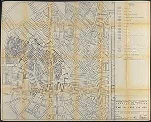
Government Center project no. Mass. r-35 : existing land use map
9.
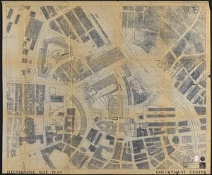
Government Center project no. Mass. r-35 : illustrative site plan
10.
Government Center project no. Mass. r-35 : disposition parcel map
11.
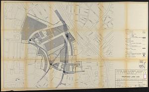
Government Center project no. Mass. r-35 : proposed land use
12.
Government Center project no. Mass. r-35 : proposed land use map
13.
Government Center project no. Mass. r-35 : subway adjustments plan
14.
Government Center redevelopment project : land use map
15.
Government Center urban renewal area r-35 : parcel-7 easement plan
16.
Government Center urban renewal area r-35 parcel-7 : site section 1
17.
Government Center urban renewal area r-35 parcel-7 : site section 2
18.
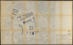
Illustrative site plan : Government Center
19.
Parcel 10 : Sears Crescent, Government Center
20.
Traffic circulation plan parcel 7 : Government Center project
‹ Prev
Next ›
1
2
3
4
5
…
23
24