Search Constraints
Search Results


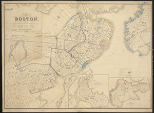
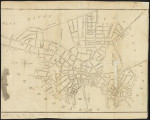
891. Plan of Boston
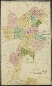
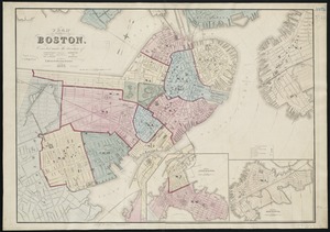
892. Plan of Boston
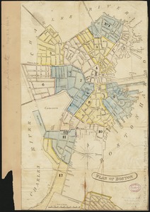
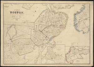
893. Plan of Boston
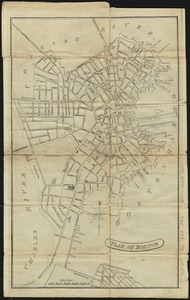
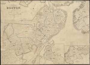
894. Plan of Boston
895. Plan of Boston
896. Plan of Boston
897. Plan of Boston
898. Plan of Boston

899. Plan of Boston