Toggle navigation
LMEC Home
Exhibitions
Georeferencing
Tools for Teachers
Collections
My Favorites
Sign Up / Log In
Search
Search the map portal
Map Collection
Map Collection
Map Sets
Search
Search
Search for
Search In
All Fields
Creator
Title
Subject
Place
Search All Digital Collections
Advanced Search
857 Results
My Search
Start Over
More Like
commonwealth:d7920269f
Remove constraint More Like: commonwealth:d7920269f
Filter your Search
Place
North and Central America
804
United States
644
New York
131
New England
130
Canada
86
New Jersey
79
North America
69
Massachusetts
49
more
Place
»
Topic
United States--History--Revolution, 1775-1783--Maps
330
New England--Maps
127
North America--Maps--Early works to 1800
59
Railroads--New England--Maps
50
United States--Maps--Early works to 1800
44
New Jersey--Maps
40
Canada--Maps--Early works to 1800
38
New York (State)--Maps
35
more
Topic
»
Date
Date range begin
–
Date range end
Current results range from
1623
to
2015
View distribution
Creator
Faden, William, 1749-1836
21
Robert Sayer and John Bennett (Firm)
19
Jefferys, Thomas, -1771
18
Clinton, Henry, Sir, 1738?-1795
17
Bellin, Jacques Nicolas, 1703-1772
16
Gibson, J. (John), active 1750-1792
14
Hills, John, active 1777-1819
14
Montrésor, John, 1736-1799
14
more
Creator
»
Format
Maps/Atlases
850
Manuscripts
9
Drawings/Illustrations
5
Paintings
3
Ephemera
1
Objects/Artifacts
1
Prints
1
Georeferenced
Yes
35
No
822
Collection
American Revolutionary War-Era Maps
673
MacLean Collection Map Library
379
William L. Clements Library Collection
310
Norman B. Leventhal Map & Education Center Collection
132
Boston and New England Maps
83
American Antiquarian Society Collection
19
David Judkins Weaver Papers
4
Sidney R. Knafel Map Collection at Phillips Academy
4
more
Collection
»
Available to use
No known restrictions
134
Creative Commons license
8
Search Constraints
Sort by relevance
relevance
title
date (asc)
date (desc)
Number of results to display per page
20 per page
10
per page
20
per page
50
per page
100
per page
View results as:
grid view
map view
Search Results
1.
Krigs theatren i America = Seat of war in America
2.
An Exact map of New England, New York, Pensylvania & New Jersey, : from the latest surveys
3.
Bridge from Staten Island to the Jersies, by Cn. Laird's description
4.
A chorographical map of the country round Philadelphia = Carte particuliere des environs de Philadelphia
5.
A compleat plan of part of the province of Pennsylvania East and West Jersey shewing the transactions of the royal army under...
6.
From Freehold toward Trenton
7.
Map of American camp in New Jersey and surrounding countryside
8.
Northern New Jersey
9.
Part of the modern counties of Monmouth, Middlesex, Somerset, Hunterdon, Mercer, Burlington, and Ocean in New Jersey and...
10.
Part of the modern counties of Union, Somerset, Hunterdon, Morris, Essex, Bergen, Passaic, Sussex, and Warren in New Jersey and...
11.
The principal part of the province of New Jersey shewing the road and distances to the several towns between the North River...
12.
The road from New Bridge and Hackinsack to Burlington
13.
Seat of war in the environs of Philadelphia
14.
Situation of ye rebels just before the attack upon Trenton
15.
Southern New York and northern New Jersey
16.
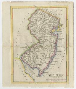
New Jersey
17.
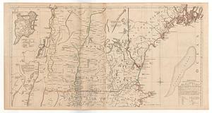
A map of the most inhabited part of New England containing the provinces of Massachusets Bay and New Hampshire with the...
18.
Carte nouvelle des posséssions angloises en Amérique dressée pour l'intelligence de la guerre présente et divisée suivant les...
19.
An historical map of Pennsylvania : showing the Indian names of streams and villages, and paths of travel : the sites of old...
20.
Manuscript maps of U.S. states, possibly drawn by a schoolchild
‹ Prev
Next ›
1
2
3
4
5
…
42
43