Toggle navigation
LMEC Home
Exhibitions
Georeferencing
Tools for Teachers
Collections
My Favorites
Sign Up / Log In
Search
Search the map portal
Map Collection
Map Collection
Map Sets
Search
Search
Search for
Search In
All Fields
Creator
Title
Subject
Place
Search All Digital Collections
Advanced Search
8703 Results
My Search
Start Over
More Like
commonwealth:d791w1582
Remove constraint More Like: commonwealth:d791w1582
Filter your Search
Place
North and Central America
5,942
United States
4,861
Massachusetts
2,070
Europe
1,392
Suffolk (county)
1,097
Boston
1,070
Canada
449
Asia
437
more
Place
»
Topic
Boston (Mass.)--Maps
582
United States--Maps
279
Real property--Massachusetts--Boston--Maps
180
Massachusetts--Maps
161
Landowners--Massachusetts--Boston--Maps
133
City planning--Massachusetts--Boston--Maps
118
North America--Maps--Early works to 1800
103
New England--Maps
101
more
Topic
»
Date
Date range begin
–
Date range end
Current results range from
1482
to
2023
View distribution
Creator
United States. Hydrographic Office
595
O.H. Bailey & Co
148
Des Barres, Joseph F. W. (Joseph Frederick Wallet), 1722-1824
123
United States. Post Office Dept
120
Boston Redevelopment Authority
117
Ptolemy, 2nd cent
100
Walling, Henry Francis, 1825-1888
94
Geological Survey (U.S.)
86
more
Creator
»
Format
Maps/Atlases
8,643
Manuscripts
215
Prints
56
Books
36
Objects/Artifacts
10
Drawings/Illustrations
8
Posters
5
Georeferenced
Yes
869
No
7,834
Collection
Norman B. Leventhal Map & Education Center Collection
8,647
Boston and New England Maps
2,277
Urban Maps
2,049
Maritime Charts and Atlases
1,083
American Revolutionary War-Era Maps
615
Boston Redevelopment Authority Collection
143
Applied Geographics, Inc. Records
1
Available to use
No known restrictions
8,561
Creative Commons license
47
Search Constraints
Sort by relevance
relevance
title
date (asc)
date (desc)
Number of results to display per page
20 per page
10
per page
20
per page
50
per page
100
per page
View results as:
grid view
map view
Search Results
41.
Wastewater system map, Boston proper, sheet no. 23h
42.
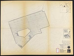
Back Bay project no. Mass R-47
43.
Back Bay project no. Mass. R-47 : police signal system, fire alarm system and M.T.A. facilities
44.
Back Bay study
45.
Back Bay study landscape plan
46.
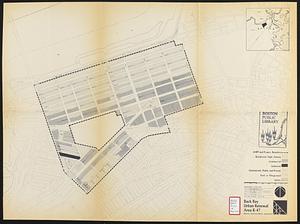
Back Bay urban renewal area r-47 : existing land use
47.
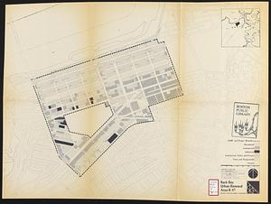
Back Bay urban renewal area r-47 : land use plan
48.
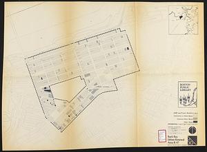
Back Bay urban renewal area r-47 : building conditions
49.
Back Bay urban renewal area r-47 : existing land use
50.
Back Bay urban renewal area r-47 : building conditions
51.
Back Bay urban renewal area r-47 : community facilities & circulation plan
52.
Back Bay urban renewal area r-47 : land use plan
53.
Back Bay urban renewal area r-47 : existing circulation
54.
Back Bay urban renewal area r-47 : proposed land use
55.
Back Bay urban renewal area r-47 : existing land use
56.
Back Bay urban renewal area r-47 : building conditions
57.
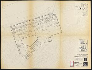
Back Bay urban renewal area r-47 : existing population density
58.
Back Bay urban renewal area r-47 : proposed treatment and title 1 projects
59.
Back Bay urban renewal area r-47 : existing and proposed community facilities
60.
Back Bay zoning district map
‹ Prev
Next ›
1
2
3
4
5
6
7
…
435
436