Toggle navigation
LMEC Home
Exhibitions
Georeferencing
Tools for Teachers
Collections
My Favorites
Sign Up / Log In
Search
Search the map portal
Map Collection
Map Collection
Map Sets
Search
Search
Search for
Search In
All Fields
Creator
Title
Subject
Place
Search All Digital Collections
Advanced Search
8551 Results
My Search
Start Over
More Like
commonwealth:cj82m544s
Remove constraint More Like: commonwealth:cj82m544s
Filter your Search
Place
North and Central America
5,846
United States
4,769
Massachusetts
2,052
Europe
1,359
Suffolk (county)
1,034
Boston
1,007
Canada
448
Asia
422
more
Place
»
Topic
Boston (Mass.)--Maps
577
United States--Maps
273
Real property--Massachusetts--Boston--Maps
174
Massachusetts--Maps
160
Landowners--Massachusetts--Boston--Maps
132
North America--Maps--Early works to 1800
103
New England--Maps
99
Europe--Maps
78
more
Topic
»
Date
Date range begin
–
Date range end
Current results range from
1482
to
2023
View distribution
Creator
United States. Hydrographic Office
594
O.H. Bailey & Co
148
Des Barres, Joseph F. W. (Joseph Frederick Wallet), 1722-1824
123
United States. Post Office Dept
120
Ptolemy, 2nd cent
100
Walling, Henry Francis, 1825-1888
94
Geological Survey (U.S.)
86
Jefferys, Thomas, -1771
85
more
Creator
»
Format
Maps/Atlases
8,492
Manuscripts
217
Prints
56
Books
36
Objects/Artifacts
10
Drawings/Illustrations
8
Posters
4
Georeferenced
Yes
869
No
7,682
Collection
Norman B. Leventhal Map & Education Center Collection
8,549
Boston and New England Maps
2,204
Urban Maps
1,936
Maritime Charts and Atlases
1,080
American Revolutionary War-Era Maps
618
Boston Redevelopment Authority Collection
87
Newberry Library Collection
2
Available to use
No known restrictions
8,408
Creative Commons license
46
Search Constraints
Sort by relevance
relevance
title
date (asc)
date (desc)
Number of results to display per page
20 per page
10
per page
20
per page
50
per page
100
per page
View results as:
grid view
map view
Search Results
3641.
Map of Morris's Purchase or West Geneseo in the state of New York : exhibiting part of the Lakes Erie and Ontario, the...
3642.
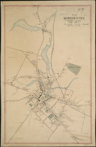
Map of Morristown : Morris County New Jersey
3643.
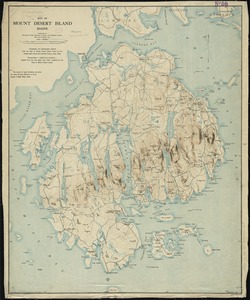
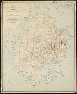
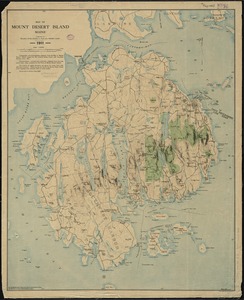
Map of Mount Desert Island, Maine
3644.
Map of Mount Desert Island, Maine
3645.
Map of Mount Desert Island, Maine
3646.
Map of n. eastern Virginia and vicinity of Washington
3647.
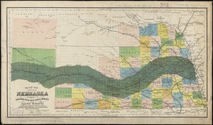
Map of Nebraska showing the Union Pacific Railroad land grant
3648.
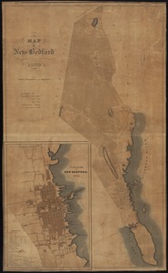
Map of New Bedford
3649.
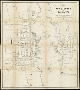
Map of New Bedford and Fairhaven
3650.
Map of New England
3651.
Map of New England : with adjacent portions of New York & Canada
3652.
[Map of New England, 31st]
3653.
A map of New England and New York
3654.
A map of New England, and Nova Scotia : with part of New York, Canada, and New Britain & the adjacent islands of New Found...
3655.
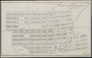
Map of New England City, Dade County, Ga
3656.
Map of New England exhibiting the rail road & telegraphic lines now in operation
3657.
Map of New England exhibiting the rail road and telegraphic lines now in operation
3658.
Map of New England with adjacent portions of New York & Canada
3659.
Map of New England with adjacent portions of New York & Canada
3660.
Map of New England with adjacent portions of New York & Canada
‹ Prev
Next ›
1
2
…
179
180
181
182
183
184
185
186
187
…
427
428


![[Map of New England, 31st]](https://bpldcassets.blob.core.windows.net/derivatives/images/commonwealth:wd3763094/image_thumbnail_300.jpg)