Toggle navigation
LMEC Home
Exhibitions
Georeferencing
Tools for Teachers
Collections
My Favorites
Sign Up / Log In
Search
Search the map portal
Map Collection
Map Collection
Map Sets
Search
Search
Search for
Search In
All Fields
Creator
Title
Subject
Place
Search All Digital Collections
Advanced Search
8858 Results
My Search
Start Over
More Like
commonwealth:cj82m439q
Remove constraint More Like: commonwealth:cj82m439q
Filter your Search
Place
North and Central America
6,010
United States
4,859
Massachusetts
2,079
Europe
1,396
Suffolk (county)
1,046
Boston
1,019
Canada
454
Asia
442
more
Place
»
Topic
Boston (Mass.)--Maps
586
United States--Maps
282
North America--Maps--Early works to 1800
240
Real property--Massachusetts--Boston--Maps
175
Massachusetts--Maps
162
Landowners--Massachusetts--Boston--Maps
133
New England--Maps
102
Europe--Maps
79
more
Topic
»
Date
Date range begin
–
Date range end
Current results range from
1482
to
2023
View distribution
Creator
United States. Hydrographic Office
595
O.H. Bailey & Co
148
Des Barres, Joseph F. W. (Joseph Frederick Wallet), 1722-1824
123
United States. Post Office Dept
120
Ptolemy, 2nd cent
100
Jefferys, Thomas, -1771
94
Walling, Henry Francis, 1825-1888
94
Sayer, Robert, 1725-1794
89
more
Creator
»
Format
Maps/Atlases
8,798
Manuscripts
217
Prints
56
Books
36
Objects/Artifacts
10
Drawings/Illustrations
8
Posters
5
Georeferenced
Yes
872
No
7,986
Collection
Norman B. Leventhal Map & Education Center Collection
8,707
Boston and New England Maps
2,234
Urban Maps
2,023
Maritime Charts and Atlases
1,083
American Revolutionary War-Era Maps
753
Boston Redevelopment Authority Collection
87
MacLean Collection Map Library
66
New York Public Library Collection
36
more
Collection
»
Available to use
No known restrictions
8,556
Creative Commons license
121
Search Constraints
Sort by relevance
relevance
title
date (asc)
date (desc)
Number of results to display per page
20 per page
10
per page
20
per page
50
per page
100
per page
View results as:
grid view
map view
Search Results
261.
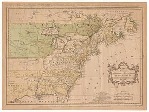
Carte des possessions angloises & françoises du continent de l'Amérique Septentrionale
262.
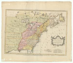
Carte des possessions angloises & françoises du continent de l'Amérique Septentrionale = A map of the British and French...
263.
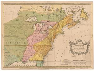
Carte des possessions angloises & françoises du continent de l'Amérique Septentrionale
264.
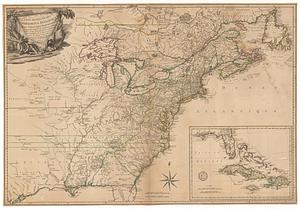
Carte des possessions angloises & françoises du continent de l'Amérique Septentrionale
265.
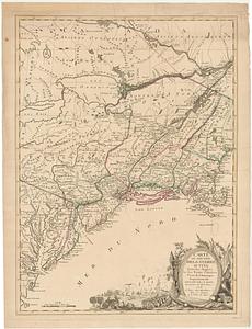
Carte des possessions angloises dans l'Amerique Septentrionale pour servir d'intelligence à la guerre presente traduite de...
266.
Carte detaillé des possessions angloises dans l'Amerique Septentrionale : construite d'après les derniéres relations et les...
267.
Carte du théatre de la guerre actuel entre les anglais et les Treize Colonies Unies de l'Amerique Septentrionale
268.
Carte d'un partie de l'Amerique Septentrionale : ou est tracée notre route d'Halifax à New York, par Quebec, Montreal, le Lac...
269.
Carte d'une partie de l'Amérique Septentrionale
270.
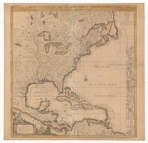
Carte générale de l'Amérique séptentrionale : avec les posséssions Angloises dans cette partie du nouveau monde
271.
Carte générale de l'Amérique séptentrionale avec les posséssions angloises dans cette partie du nouveau monde
272.
Chart of the Atlantic Ocean, with the British, French, & Spanish settlements in North America, and the West Indies : as also on...
273.
Charte über die XIII Vereinigte Staaten von Nord-America = XIII Etats Unis de I'Amerique Septentrionale, d'apres les meilleures...
274.
Copy of a map presented to the Congres [sic]
275.
An exact map of North America : from the best authorities
276.
An exact map of North America from the best authorities
277.
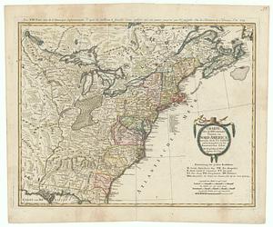
A general map of North America : in which is express'd the several new roads, forts, engagements, &c, taken from actual surveys...
278.
A general map of North America; in which is express'd the several new roads, forts, engagements, &c. taken from actual surveys...
279.
A general map of the discoveries of Admiral de Fonte, exhibiting the great probability of a north-west passage
280.
A general map of the middle British colonies in America : Viz. Virginia, Maryland, Delaware, Pensilvania, New-Jersey, New-York,...
‹ Prev
Next ›
1
2
…
10
11
12
13
14
15
16
17
18
…
442
443


![Copy of a map presented to the Congres [sic]](https://bpldcassets.blob.core.windows.net/derivatives/images/commonwealth:z603vn16x/image_thumbnail_300.jpg)