Toggle navigation
LMEC Home
Exhibitions
Georeferencing
Tools for Teachers
Collections
My Favorites
Sign Up / Log In
Search
Search the map portal
Map Collection
Map Collection
Map Sets
Search
Search
Search for
Search In
All Fields
Creator
Title
Subject
Place
Search All Digital Collections
Advanced Search
8748 Results
My Search
Start Over
More Like
commonwealth:cj82m310j
Remove constraint More Like: commonwealth:cj82m310j
Filter your Search
Place
North and Central America
5,978
United States
4,879
Massachusetts
2,079
Europe
1,396
Suffolk (county)
1,045
Boston
1,018
Canada
458
Asia
438
more
Place
»
Topic
Boston (Mass.)--Maps
586
United States--Maps
282
Real property--Massachusetts--Boston--Maps
175
Massachusetts--Maps
162
Landowners--Massachusetts--Boston--Maps
133
North America--Maps--Early works to 1800
106
New England--Maps
102
Europe--Maps
79
more
Topic
»
Date
Date range begin
–
Date range end
Current results range from
1482
to
2023
View distribution
Creator
United States. Hydrographic Office
595
O.H. Bailey & Co
148
Des Barres, Joseph F. W. (Joseph Frederick Wallet), 1722-1824
123
United States. Post Office Dept
120
Ptolemy, 2nd cent
100
Walling, Henry Francis, 1825-1888
94
Jefferys, Thomas, -1771
88
Geological Survey (U.S.)
86
more
Creator
»
Format
Maps/Atlases
8,688
Manuscripts
217
Prints
56
Books
36
Objects/Artifacts
10
Drawings/Illustrations
8
Posters
5
Georeferenced
Yes
870
No
7,878
Collection
Norman B. Leventhal Map & Education Center Collection
8,705
Boston and New England Maps
2,232
Urban Maps
2,023
Maritime Charts and Atlases
1,086
American Revolutionary War-Era Maps
655
Boston Redevelopment Authority Collection
87
New York Public Library Collection
14
Mapping Boston Collection
12
more
Collection
»
Available to use
No known restrictions
8,553
Creative Commons license
83
Search Constraints
Sort by relevance
relevance
title
date (asc)
date (desc)
Number of results to display per page
20 per page
10
per page
20
per page
50
per page
100
per page
View results as:
grid view
map view
Search Results
61.
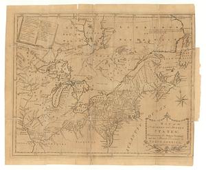
A map of the northern and middle states : comprehending the western territory and the British dominions in North America ;...
62.
A map of the northern and middle states : comprehending the western territory and the British dominions in North America :...
63.
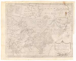
Map of the northern provinces of the United States
64.
A map of the Province of New York, with part of Pensilvania, and New England : from an actual survey by Captain Montresor,...
65.
A map of the Province of New York, with part of Pensilvania, and New England : from an actual survey by Captain Montresor,...
66.
A map of the province of New York, with part of Pensilvania, and New England
67.
A map of the Province of New-York : reduc'd from the large drawing of that province, compiled from actual surveys by order of...
68.
Mappa geographica Provinciæ Nova Eboraci ab Anglis New-York : dictæ ex ampliori delineatione ad exactas dimensiones concinnata...
69.
A new and accurate map of New Jersey, Pensilvania, New York and New England : with the adjacent countries. Drawn from surveys,...
70.
A new and correct map of the provinces of New England, New York, Canada or New France
71.
A new map of the most considerable plantations of the English in America
72.
A new mapp of New England and Annapolis and the countrys adjacent
73.
Nouvelle Hollande (à présent Nouvelle-York), Nouvelle-Angleterre, et une partie de la Virginie
74.
Nova Belgica et Anglia Nova
75.
Novi Belgii, Novaeque Angliae nec non partis Virginiae tabula
76.
Part of North America : comprehending the course of Ohio, New England, New York, New Jersey, Pennsylvania, Maryland, Virginia,...
77.
Partie occidentale de la Virginie, Pensylvanie, Maryland, et Caroline septle. la Rivière d'Ohio, et toutes celles qui s'y...
78.
Pas-caert van Nieu Nederland, Virginia, Nieu Engeland als mede Penn-silvania, met de stad Philadelfia van Baston tot Carrik = a...
79.
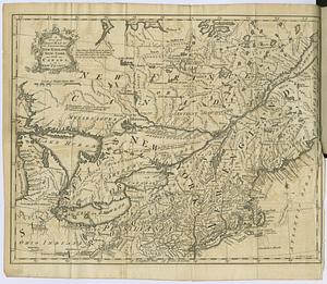
La Pensilvania, la Nuova York, il Jersey Settentrio[na]le : con la parte occidentale del Connecticut, Massachusset-s-bay e...
80.
Position der Koenigl;Grosbrittanischen und derer vereinigten provinzial armée in New York und dem Jerseys in Nord America im...
‹ Prev
Next ›
1
2
3
4
5
6
7
8
…
437
438


![La Pensilvania, la Nuova York, il Jersey Settentrio[na]le](https://bpldcassets.blob.core.windows.net/derivatives/images/commonwealth:z603vq53g/image_thumbnail_300.jpg)
