Toggle navigation
LMEC Home
Exhibitions
Georeferencing
Tools for Teachers
Collections
My Favorites
Sign Up / Log In
Search
Search the map portal
Map Collection
Map Collection
Map Sets
Search
Search
Search for
Search In
All Fields
Creator
Title
Subject
Place
Search All Digital Collections
Advanced Search
8769 Results
My Search
Start Over
More Like
commonwealth:cj82m2577
Remove constraint More Like: commonwealth:cj82m2577
Filter your Search
Place
North and Central America
5,992
United States
4,914
Massachusetts
2,083
Europe
1,396
Suffolk (county)
1,048
Boston
1,021
Canada
470
Asia
438
more
Place
»
Topic
Boston (Mass.)--Maps
588
United States--Maps
330
Real property--Massachusetts--Boston--Maps
175
Massachusetts--Maps
164
Landowners--Massachusetts--Boston--Maps
133
New England--Maps
127
North America--Maps--Early works to 1800
103
Europe--Maps
79
more
Topic
»
Date
Date range begin
–
Date range end
Current results range from
1482
to
2023
View distribution
Creator
United States. Hydrographic Office
595
O.H. Bailey & Co
148
Des Barres, Joseph F. W. (Joseph Frederick Wallet), 1722-1824
123
United States. Post Office Dept
120
Ptolemy, 2nd cent
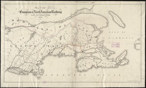
100
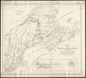
Walling, Henry Francis, 1825-1888
94
Geological Survey (U.S.)
87
Jefferys, Thomas, -1771
86
more
Creator
»
Format
Maps/Atlases
8,709
Manuscripts
215
Prints
56
Books
36
Objects/Artifacts
10
Drawings/Illustrations
8
Posters
5
Georeferenced
Yes
873
No
7,896
Collection
Norman B. Leventhal Map & Education Center Collection
8,704
Boston and New England Maps
2,239
Urban Maps
2,023
Maritime Charts and Atlases
1,083
American Revolutionary War-Era Maps
674
Boston Redevelopment Authority Collection
87
American Antiquarian Society Collection
29
William L. Clements Library Collection
16
more
Collection
»
Available to use
No known restrictions
8,560
Creative Commons license
53
Search Constraints
Sort by relevance
relevance
title
date (asc)
date (desc)
Number of results to display per page
20 per page
10
per page
20
per page
50
per page
100
per page
View results as:
grid view
map view
Search Results
81.
Venango railroad and its connections, air line from New York to Cleveland, Toledo & Chicago
82.
New Hampshire by recent survey : made under the supreme authority and published according to law
83.
Old Colony & Newport railway and its connections
84.
Colton's new railroad & county map of the United States, the Canadas &c
85.
How the public domain has been squandered, map showing the 139,403,026 acres of the people's land - equal to 871,268 farms of...
86.
Map of the seat of war : containing a map of the vicinity of Washington, Baltimore, Harper's Ferry and Annapolis, with five...
87.
Texas and Pacific Rail Way
88.
Western route, from Boston to Michigan, Ohio and Indiana ; Southern route, from Boston to Wilmington and Red Clay ; S. Western...
89.
Diagram of rail roads diverging from Boston : showing the depots and distances
90.
Map of the European & North American Railway and its connections
91.
Map of the European and North American Railway, showing its connection with the railways of the United States & Canada; made by...
92.
Map of the Hudson River & Berkshire R. R. and its connections
93.
Map showing the relative distances of Porsmouth [i.e. Portsmouth] and Boston from Concord & Manchester, N.H
94.
Travel-map of New England
95.
Automobile map of New England showing the ideal tour
96.
The Boston Globe ski map of northern New England and Canada
97.
A canoeist's guide to New England's rivers
98.
C.H. Guild & Co.'s newspaper map of New England
99.
The city of New York as laid out by the Commissioners with the surrounding country
100.
Commercial map of New England
‹ Prev
Next ›
1
2
3
4
5
6
7
8
9
…
438
439


![Map showing the relative distances of Porsmouth [i.e. Portsmouth] and Boston from Concord & Manchester, N.H](https://bpldcassets.blob.core.windows.net/derivatives/images/commonwealth:7h14b104z/image_thumbnail_300.jpg)


