Toggle navigation
LMEC Home
Exhibitions
Georeferencing
Tools for Teachers
Collections
My Favorites
Sign Up / Log In
Search
Search the map portal
Map Collection
Map Collection
Map Sets
Search
Search
Search for
Search In
All Fields
Creator
Title
Subject
Place
Search All Digital Collections
Advanced Search
8769 Results
My Search
Start Over
More Like
commonwealth:cj82m2577
Remove constraint More Like: commonwealth:cj82m2577
Filter your Search
Place
North and Central America
5,997
United States
4,917
Massachusetts
2,083
Europe
1,396
Suffolk (county)
1,048
Boston
1,021
Canada
470
Asia
438
more
Place
»
Topic
Boston (Mass.)--Maps
588
United States--Maps
330
Real property--Massachusetts--Boston--Maps
175
Massachusetts--Maps
164
Landowners--Massachusetts--Boston--Maps
133
New England--Maps
127
North America--Maps--Early works to 1800
103
Europe--Maps
79
more
Topic
»
Date
Date range begin
–
Date range end
Current results range from
1482
to
2023
View distribution
Creator
United States. Hydrographic Office
595
O.H. Bailey & Co
148
Des Barres, Joseph F. W. (Joseph Frederick Wallet), 1722-1824
123
United States. Post Office Dept
120
Ptolemy, 2nd cent
100
Walling, Henry Francis, 1825-1888
94
Geological Survey (U.S.)
87
Jefferys, Thomas, -1771
86
more
Creator
»
Format
Maps/Atlases
8,709
Manuscripts
215
Prints
56
Books
36
Objects/Artifacts
10
Drawings/Illustrations
8
Posters
5
Georeferenced
Yes
873
No
7,896
Collection
Norman B. Leventhal Map & Education Center Collection
8,704
Boston and New England Maps
2,239
Urban Maps
2,023
Maritime Charts and Atlases
1,083
American Revolutionary War-Era Maps
674
Boston Redevelopment Authority Collection
87
Maps from AAS
29
William L. Clements Library Collection
16
more
Collection
»
Available to use
No known restrictions
8,560
Creative Commons license
53
Search Constraints
Sort by relevance
relevance
title
date (asc)
date (desc)
Number of results to display per page
20 per page
10
per page
20
per page
50
per page
100
per page
View results as:
grid view
map view
Search Results
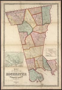
4681.
Map of the town of Rochester, Plymouth County, Massachusetts : surveyed by order of the town
4682.
Map of the town of Roxbury : surveyed by order of the town authorities
4683.
Map of the town of Roxbury
4684.
Map of the town of Sandwich, Barnstable County, Mass : surveyed by order of the town
4685.
Map of the town of Seekonk
4686.
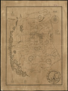
Map of the town of Sharon, Litchfield County, Connecticut
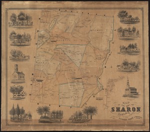
4687.
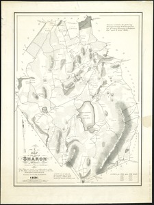
A map of the town of Sharon, Mass : formerly a part of Stoughton
4688.
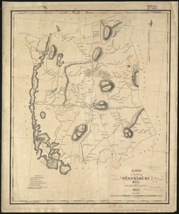
A Map of the town of Shrewsbury, Mass
4689.
A map of the Town of Shrewsbury, Mass
4690.
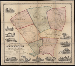
Map of the town of Southborough Worcester County, Mass : surveyed by order of the town
4691.
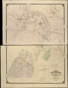
Map of the town of Southbridge, Mass : including detail plans of Southbridge, Globe village and Sandersdale from recent and...
4692.
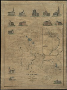
Map of the town of Taunton, with a view of the public buildings
4693.
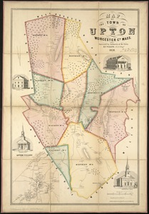
Map of the town of Upton, Worcester Co., Mass : surveyed by authority of the town
4694.
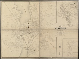
Map of the town of Wakefield Middlesex Co. Mass : from actual surveys
4695.
Map of the town of Walpole Norfolk County Mass : surveyed by authority of the town
4696.
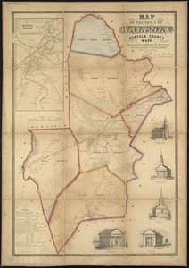
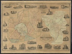
Map of the town of Waterbury, New Haven County, Connecticut
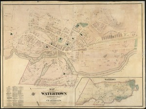
4697.
Map of the town of Watertown : Middlesex Co., Mass., from actual surveys
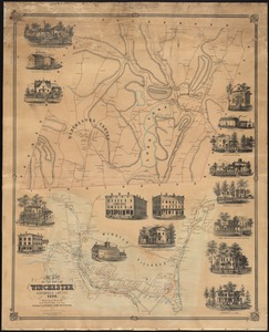
4698.
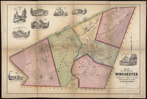
Map of the town of Winchester, Litchfield County, Conn
4699.
Map of the town of Winchester, Middlesex County, Mass : surveyed by order of the town
4700.
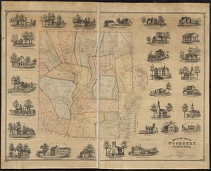
Map of the town of Woodbury, Litchfield County, Connecticut
‹ Prev
Next ›
1
2
…
231
232
233
234
235
236
237
238
239
…
438
439