Toggle navigation
LMEC Home
Exhibitions
Georeferencing
Tools for Teachers
Collections
My Favorites
Sign Up / Log In
Search
Search the map portal
Map Collection
Map Collection
Map Sets
Search
Search
Search for
Search In
All Fields
Creator
Title
Subject
Place
Search All Digital Collections
Advanced Search
8769 Results
My Search
Start Over
More Like
commonwealth:cj82m2577
Remove constraint More Like: commonwealth:cj82m2577
Filter your Search
Place
North and Central America
5,997
United States
4,917
Massachusetts
2,083
Europe
1,396
Suffolk (county)
1,048
Boston
1,021
Canada
470
Asia
438
more
Place
»
Topic
Boston (Mass.)--Maps
588
United States--Maps
330
Real property--Massachusetts--Boston--Maps
175
Massachusetts--Maps
164
Landowners--Massachusetts--Boston--Maps
133
New England--Maps
127
North America--Maps--Early works to 1800
103
Europe--Maps
79
more
Topic
»
Date
Date range begin
–
Date range end
Current results range from
1482
to
2023
View distribution
Creator
United States. Hydrographic Office
595
O.H. Bailey & Co
148
Des Barres, Joseph F. W. (Joseph Frederick Wallet), 1722-1824
123
United States. Post Office Dept
120
Ptolemy, 2nd cent
100
Walling, Henry Francis, 1825-1888
94
Geological Survey (U.S.)
87
Jefferys, Thomas, -1771
86
more
Creator
»
Format
Maps/Atlases
8,709
Manuscripts
215
Prints
56
Books
36
Objects/Artifacts
10
Drawings/Illustrations
8
Posters
5
Georeferenced
Yes
873
No
7,896
Collection
Norman B. Leventhal Map & Education Center Collection
8,704
Boston and New England Maps
2,239
Urban Maps
2,023
Maritime Charts and Atlases
1,083
American Revolutionary War-Era Maps
674
Boston Redevelopment Authority Collection
87
Maps from AAS
29
William L. Clements Library Collection
16
more
Collection
»
Available to use
No known restrictions
8,560
Creative Commons license
53
Search Constraints
Sort by relevance
relevance
title
date (asc)
date (desc)
Number of results to display per page
20 per page
10
per page
20
per page
50
per page
100
per page
View results as:
grid view
map view
Search Results
4541.
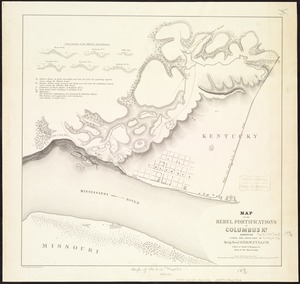
Map of the Rebel fortifications at Columbus, Ky
4542.
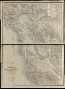
Map of the region adjacent to the Bay of San Francisco
4543.
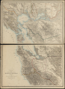
Map of the region adjacent to the bay of San Francisco
4544.
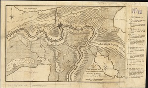
A map of the River Mississippi and territory adjacent to N. Orleans illustrating the military position and camp at Terre au Boeuf
4545.
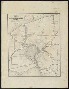
Map of the River Niagara and vicinity
4546.
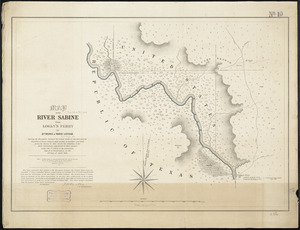
Map of the river Sabine from Logan's Ferry to 32nd degree of north latitude : shewing the boundary between the United States of...
4547.
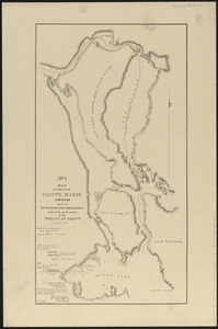
Map of the river Sainte Mary surveyed by order of the honorable the Commissioners under the 6th and 7th articles of the Treaty...
4548.
Map of the roads of Wellesley and vicinity
4549.
Map of the route passed over by an expedition into the Indian country in 1832 to the source of the Mississippi
4550.
Map of the route to the Kansas gold mines : prepared from government and other surveys : showing the most direct railroad...
4551.
Map of the Saranac Lakes : prepared from Dr. Ely's large pocket map of the New York wilderness for D.L. Fouquet & Son
4552.
Map of the seat of the war in Italy
4553.
Map of the seat of war : to accompany the American Conflict
4554.
Map of the seat of war : showing the only practical method by which the movements of the warships of both nations can be...
4555.
Map of the seat of war
4556.
Map of the seat of war
4557.
Map of the seat of war Gen Taylor's field of operations in Mexico
4558.
Map of the seat of war in Africa
4559.
Map of the seat of war in Africa
4560.
Map of the seat of war in Europe compiled from the latest and most authentic sources
‹ Prev
Next ›
1
2
…
224
225
226
227
228
229
230
231
232
…
438
439