Toggle navigation
LMEC Home
Exhibitions
Georeferencing
Tools for Teachers
Collections
My Favorites
Sign Up / Log In
Search
Search the map portal
Map Collection
Map Collection
Map Sets
Search
Search
Search for
Search In
All Fields
Creator
Title
Subject
Place
Search All Digital Collections
Advanced Search
8863 Results
My Search
Start Over
More Like
commonwealth:cj82m212w
Remove constraint More Like: commonwealth:cj82m212w
Filter your Search
Place
North and Central America
6,094
United States
5,010
Massachusetts
2,127
Europe
1,396
Suffolk (county)
1,209
Boston
1,182
Canada
449
Asia
438
more
Place
»
Topic
Boston (Mass.)--Maps
752
United States--Maps
282
Real property--Massachusetts--Boston--Maps
195
Massachusetts--Maps
166
City planning--Massachusetts--Boston--Maps
159
Landowners--Massachusetts--Boston--Maps
142
New England--Maps
104
North America--Maps--Early works to 1800
103
more
Topic
»
Date
Date range begin
–
Date range end
Current results range from
1482
to
2023
View distribution
Creator
United States. Hydrographic Office
595
Boston Redevelopment Authority
164
O.H. Bailey & Co
148
Des Barres, Joseph F. W. (Joseph Frederick Wallet), 1722-1824
124
United States. Post Office Dept
120
Ptolemy, 2nd cent
100
Walling, Henry Francis, 1825-1888
94
Geological Survey (U.S.)
87
more
Creator
»
Format
Maps/Atlases
8,803
Manuscripts
215
Prints
56
Books
36
Objects/Artifacts
10
Drawings/Illustrations
8
Posters
5
Georeferenced
Yes
884
No
7,979
Collection
Norman B. Leventhal Map & Education Center Collection
8,723
Boston and New England Maps
2,359
Urban Maps
2,143
Maritime Charts and Atlases
1,083
American Revolutionary War-Era Maps
638
Boston Redevelopment Authority Collection
193
Mapping Boston Collection
20
Massachusetts Real Estate Atlases
12
more
Collection
»
Available to use
No known restrictions
8,666
Creative Commons license
70
Search Constraints
Sort by relevance
relevance
title
date (asc)
date (desc)
Number of results to display per page
20 per page
10
per page
20
per page
50
per page
100
per page
View results as:
grid view
map view
Search Results
6741.
Plan of the town, road, and harbour of Chagre ; Plan of Porto Belo
6742.
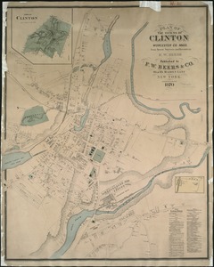
Plan of the towns of Clinton, Worcester Co. Mass : from recent surveys and records
6743.
Plan of the towns of Sturbridge and Southbridge : from actual surveys and records
6744.
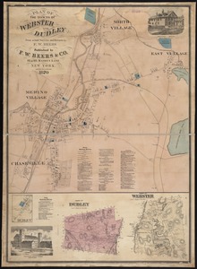
Plan of the towns of Webster and Dudley : from actual surveys and records
6745.
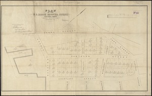
Plan of the U.S. Marine Hospital estate Chelsea, Mass : showing the subdivision into the buildings lots
6746.
A plan of the west parish or Newbury new town : taken Septs. 15, 1729
6747.
Plan of the western seat of war
6748.
Plan of the yard and buildings of the Manchester Print Works
6749.
[Plan of Tremont Street from Park to Boylston]
6750.
[Plan of Tremont Street, from West to Boylston]
6751.
Plan of Waquoit Bay in the town of Falmouth
6752.
A plan of West Springfield
6753.
Plan of Wild Harbor at North Falmouth : under chapter 112 resolves of 1907
6754.
[Plan of William Jackson's farm, Newton]
6755.
Plan of Winnisimmet, in Chelsea
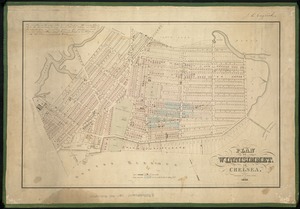
6756.
Plan of Winthrop Farm in the Town of Winthrop belonging to the City of Boston
6757.
Plan of Woodland Vale, in Newton, belonging to Wm. Kenrick
6758.
Plan of Zisapata Bay ; Plan of the harbour of Carthagena
6759.
Plan pittoresque de la ville de Paris
6760.
Plan presented to the honble. the State Commissioners for the improvement of the Back Bay
‹ Prev
Next ›
1
2
…
334
335
336
337
338
339
340
341
342
…
443
444


![[Plan of Tremont Street from Park to Boylston]](https://bpldcassets.blob.core.windows.net/derivatives/images/commonwealth:9s161b59r/image_thumbnail_300.jpg)
![[Plan of Tremont Street, from West to Boylston]](https://bpldcassets.blob.core.windows.net/derivatives/images/commonwealth:sn00b611k/image_thumbnail_300.jpg)


![[Plan of William Jackson's farm, Newton]](https://bpldcassets.blob.core.windows.net/derivatives/images/commonwealth:9s161g07t/image_thumbnail_300.jpg)