Toggle navigation
LMEC Home
Exhibitions
Georeferencing
Tools for Teachers
Collections
My Favorites
Sign Up / Log In
Search
Search the map portal
Map Collection
Map Collection
Map Sets
Search
Search
Search for
Search In
All Fields
Creator
Title
Subject
Place
Search All Digital Collections
Advanced Search
8771 Results
My Search
Start Over
More Like
commonwealth:cj82kw635
Remove constraint More Like: commonwealth:cj82kw635
Filter your Search
Place
North and Central America
5,974
United States
4,888
Massachusetts
2,079
Europe
1,396
Suffolk (county)
1,046
Boston
1,019
Canada
463
Asia
438
more
Place
»
Topic
Boston (Mass.)--Maps
586
United States--Maps
330
Real property--Massachusetts--Boston--Maps
175
Massachusetts--Maps
162
Landowners--Massachusetts--Boston--Maps
133
North America--Maps--Early works to 1800
103
New England--Maps
102
Europe--Maps
79
more
Topic
»
Date
Date range begin
–
Date range end
Current results range from
1482
to
2023
View distribution
Creator
United States. Hydrographic Office
595
O.H. Bailey & Co
148
Des Barres, Joseph F. W. (Joseph Frederick Wallet), 1722-1824
123
United States. Post Office Dept
120
Ptolemy, 2nd cent
100
Walling, Henry Francis, 1825-1888
94
Geological Survey (U.S.)
87
Jefferys, Thomas, -1771
86
more
Creator
»
Format
Maps/Atlases
8,711
Manuscripts
216
Prints
56
Books
36
Objects/Artifacts
10
Drawings/Illustrations
8
Posters
5
Georeferenced
Yes
876
No
7,895
Collection
Norman B. Leventhal Map & Education Center Collection
8,701
Boston and New England Maps
2,233
Urban Maps
2,023
Maritime Charts and Atlases
1,084
American Revolutionary War-Era Maps
683
Boston Redevelopment Authority Collection
87
American Antiquarian Society Collection
38
William L. Clements Library Collection
21
more
Collection
»
Available to use
No known restrictions
8,557
Creative Commons license
50
Search Constraints
Sort by relevance
relevance
title
date (asc)
date (desc)
Number of results to display per page
20 per page
10
per page
20
per page
50
per page
100
per page
View results as:
grid view
map view
Search Results
7801.
State of Kentucky coal fields and producing districts
7802.
State of Kentucky, stations and transmission lines used in public service in 1921
7803.
State of Louisiana
7804.
State of Louisiana, highlighting low-lying areas derived from USGS digital elevation data
7805.
State of Maine
7806.
State of Maine
7807.
The state of Maryland, from the best authorities
7808.
The state of Massachusetts : compiled from the best authorities
7809.
The state of Massachusetts from the best information
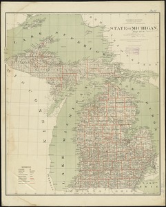
7810.
State of Michigan
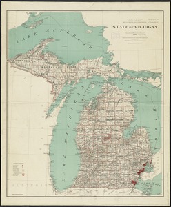
7811.
State of Michigan
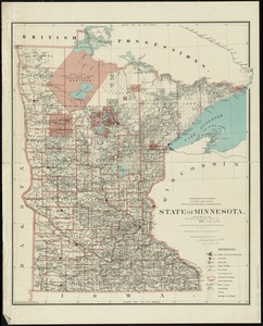
7812.
State of Minnesota
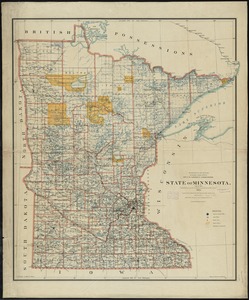
7813.
State of Minnesota
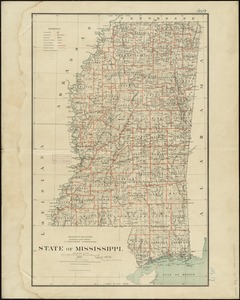
7814.
State of Mississippi
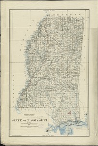
7815.
State of Mississippi
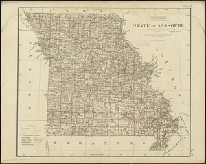
7816.
State of Missouri
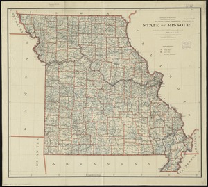
7817.
State of Missouri
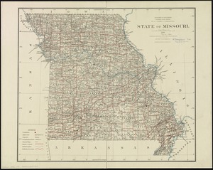
7818.
State of Missouri
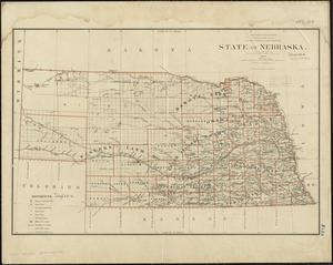
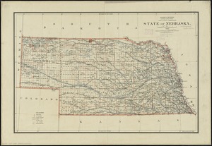
7819.
State of Nebraska
7820.
State of Nebraska
‹ Prev
Next ›
1
2
…
387
388
389
390
391
392
393
394
395
…
438
439