Toggle navigation
LMEC Home
Exhibitions
Georeferencing
Tools for Teachers
Collections
My Favorites
Sign Up / Log In
Search
Search the map portal
Map Collection
Map Collection
Map Sets
Search
Search
Search for
Search In
All Fields
Creator
Title
Subject
Place
Search All Digital Collections
Advanced Search
8802 Results
My Search
Start Over
More Like
commonwealth:cj82kt994
Remove constraint More Like: commonwealth:cj82kt994
Filter your Search
Place
North and Central America
6,033
United States
4,930
Massachusetts
2,152
Europe
1,396
Suffolk (county)
1,049
Boston
1,022
Canada
456
Asia
438
more
Place
»
Topic
Boston (Mass.)--Maps
592
United States--Maps
282
Massachusetts--Maps
235
Real property--Massachusetts--Boston--Maps
175
Landowners--Massachusetts--Boston--Maps
133
New England--Maps
127
North America--Maps--Early works to 1800
103
Europe--Maps
79
more
Topic
»
Date
Date range begin
–
Date range end
Current results range from
1482
to
2023
View distribution
Creator
United States. Hydrographic Office
595
O.H. Bailey & Co
148
Des Barres, Joseph F. W. (Joseph Frederick Wallet), 1722-1824
123
United States. Post Office Dept
120
Ptolemy, 2nd cent
100
Walling, Henry Francis, 1825-1888
95
Geological Survey (U.S.)
93
Jefferys, Thomas, -1771
86
more
Creator
»
Format
Maps/Atlases
8,741
Manuscripts
217
Prints
56
Books
36
Objects/Artifacts
10
Drawings/Illustrations
8
Posters
5
Ephemera
1
Georeferenced
Yes
882
No
7,920
Collection
Norman B. Leventhal Map & Education Center Collection
8,742
Boston and New England Maps
2,286
Urban Maps
2,024
Maritime Charts and Atlases
1,083
American Revolutionary War-Era Maps
660
Boston Redevelopment Authority Collection
90
David Judkins Weaver Papers
23
Applied Geographics, Inc. Records
20
more
Collection
»
Available to use
No known restrictions
8,600
Creative Commons license
54
Search Constraints
Sort by relevance
relevance
title
date (asc)
date (desc)
Number of results to display per page
20 per page
10
per page
20
per page
50
per page
100
per page
View results as:
grid view
map view
Search Results
4021.
A map of part of the N:W: Territory of the United States : compiled from actual surveys, and the best information
4022.
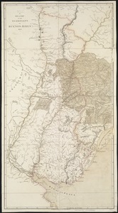
A map of part of the Viceroyalty of Buenos Ayres 1806
4023.
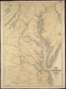
Map of part of Virginia, Maryland and Delaware from the best authorities
4024.
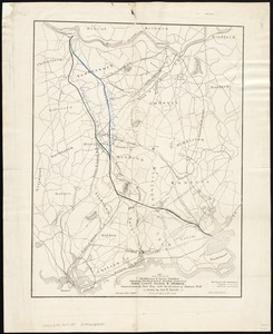
Map of parts of Middlesex & Essex counties, showing the rail road routes between Salem, Lowell, Boston & Methuen
4025.
[Map of parts of Venezuela and Colombia]
4026.
A map of Pennsylvania exhibiting not only the improved parts of that Province, but also its extensive frontiers : laid down...
4027.
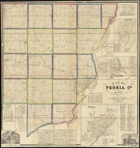
Map of Peoria Co., Illinois
4028.
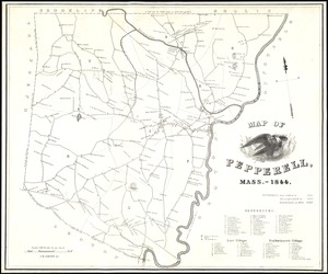
Map of Pepperell, Mass. - 1844
4029.
Map of Perry County, Ohio
4030.
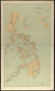
Map of Philippine Islands and adjacent seas : from material of the English and Batavian governments
4031.
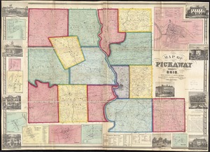
Map of Pickaway County, Ohio
4032.
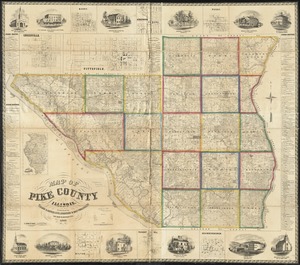
Map of Pike County, Illinois
4033.
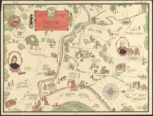
The map of pioneer Hartford : founded 1636, incorporated 1784, showing early landmarks and the locations of historical events
4034.
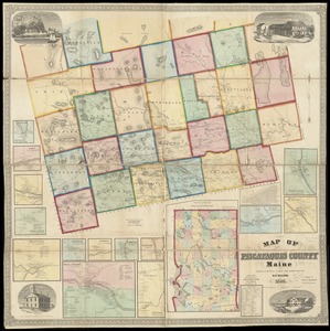
Map of Piscataquis County Maine
4035.
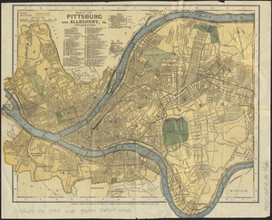
Map of Pittsburg and Allegheny, Pa
4036.
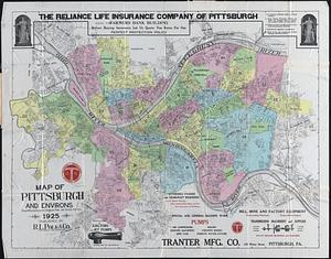
Map of Pittsburgh and environs : from official records, original plats, and actual surveys
4037.
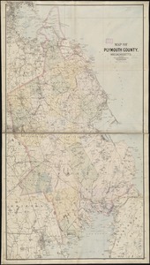
Map of Plymouth County, Mass.
4038.
Map of Plymouth County, Massachusetts
4039.
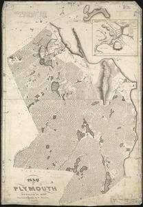
Map of Plymouth settled in 1620
4040.
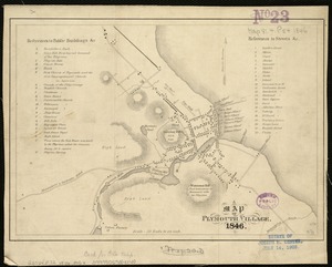
A map of Plymouth Village : 1846
‹ Prev
Next ›
1
2
…
198
199
200
201
202
203
204
205
206
…
440
441

![[Map of parts of Venezuela and Colombia]](https://bpldcassets.blob.core.windows.net/derivatives/images/commonwealth:4m90fm18q/image_thumbnail_300.jpg)