Toggle navigation
LMEC Home
Exhibitions
Georeferencing
Tools for Teachers
Collections
My Favorites
Sign Up / Log In
Search
Search the map portal
Map Collection
Map Collection
Map Sets
Search
Search
Search for
Search In
All Fields
Creator
Title
Subject
Place
Search All Digital Collections
Advanced Search
8720 Results
My Search
Start Over
More Like
commonwealth:cj82kn462
Remove constraint More Like: commonwealth:cj82kn462
Filter your Search
Place
North and Central America
5,951
United States
4,869
Massachusetts
2,083
Europe
1,396
Suffolk (county)
1,048
Boston
1,021
Canada
456
Asia
438
more
Place
»
Topic
Boston (Mass.)--Maps
588
United States--Maps
282
Real property--Massachusetts--Boston--Maps
175
Massachusetts--Maps
164
Landowners--Massachusetts--Boston--Maps
133
New England--Maps
127
North America--Maps--Early works to 1800
103
Europe--Maps
79
more
Topic
»
Date
Date range begin
–
Date range end
Current results range from
1482
to
2023
View distribution
Creator
United States. Hydrographic Office
595
O.H. Bailey & Co
148
Des Barres, Joseph F. W. (Joseph Frederick Wallet), 1722-1824
123
United States. Post Office Dept
120
Ptolemy, 2nd cent
100
Walling, Henry Francis, 1825-1888
94
Geological Survey (U.S.)
86
Jefferys, Thomas, -1771
86
more
Creator
»
Format
Maps/Atlases
8,660
Manuscripts
215
Prints
56
Books
36
Objects/Artifacts
10
Drawings/Illustrations
8
Posters
5
Georeferenced
Yes
871
No
7,849
Collection
Norman B. Leventhal Map & Education Center Collection
8,698
Boston and New England Maps
2,238
Urban Maps
2,023
Maritime Charts and Atlases
1,083
American Revolutionary War-Era Maps
633
Boston Redevelopment Authority Collection
87
American Antiquarian Society Collection
9
David Judkins Weaver Papers
4
more
Collection
»
Available to use
No known restrictions
8,556
Creative Commons license
50
Search Constraints
Sort by relevance
relevance
title
date (asc)
date (desc)
Number of results to display per page
20 per page
10
per page
20
per page
50
per page
100
per page
View results as:
grid view
map view
Search Results
3801.
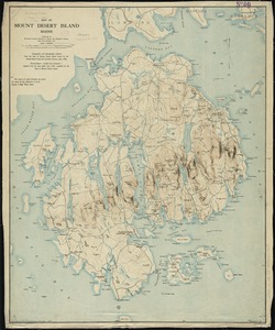
Map of Mount Desert Island, Maine
3802.
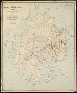
Map of Mount Desert Island, Maine
3803.
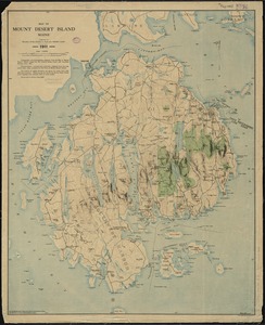
Map of Mount Desert Island, Maine
3804.
Map of n. eastern Virginia and vicinity of Washington
3805.
Map of Nebraska showing the Union Pacific Railroad land grant
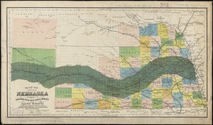
3806.
Map of New Bedford
3807.
Map of New Bedford and Fairhaven
3808.
A map of New England and New York
3809.
A map of New England, and Nova Scotia : with part of New York, Canada, and New Britain & the adjacent islands of New Found...
3810.
Map of New England City, Dade County, Ga
3811.
Map of New Hampshire : compiled from the latest authorities
3812.
Map of New Milford, Litchfield Co., Conn
3813.
Map of New York and vicinity
3814.
Map of New York and vicinity
3815.
Map of New York City showing concrete socialism in red, and private enterprises in white, 1895
3816.
A map of New York which is published by the Washington Square Bookshop
3817.
A map of New-England : being the first that ever was here cut, and done by the best pattern that could be had, which being in...
3818.
A map of New-England : being the first that ever was here cut, and done by the best pattern that could be had, which being in...
3819.
A map of New-England : being the first that ever was here cut, and done by the best pattern that could be had, which being in...
3820.
Map of Newport County, Rhode Island
‹ Prev
Next ›
1
2
…
187
188
189
190
191
192
193
194
195
…
435
436