Toggle navigation
LMEC Home
Exhibitions
Georeferencing
Tools for Teachers
Collections
My Favorites
Sign Up / Log In
Search
Search the map portal
Map Collection
Map Collection
Map Sets
Search
Search
Search for
Search In
All Fields
Creator
Title
Subject
Place
Search All Digital Collections
Advanced Search
8870 Results
My Search
Start Over
More Like
commonwealth:9s161h01c
Remove constraint More Like: commonwealth:9s161h01c
Filter your Search
Place
North and Central America
6,114
United States
5,018
Massachusetts
2,176
Europe
1,388
Suffolk (county)
1,200
Boston
1,173
Canada
449
Asia
436
more
Place
»
Topic
Boston (Mass.)--Maps
746
United States--Maps
279
Massachusetts--Maps
230
Real property--Massachusetts--Boston--Maps
195
City planning--Massachusetts--Boston--Maps
156
Landowners--Massachusetts--Boston--Maps
142
New England--Maps
104
North America--Maps--Early works to 1800
103
more
Topic
»
Date
Date range begin
–
Date range end
Current results range from
1482
to
2023
View distribution
Creator
United States. Hydrographic Office
595
Boston Redevelopment Authority
162
O.H. Bailey & Co
148
Des Barres, Joseph F. W. (Joseph Frederick Wallet), 1722-1824
124
United States. Post Office Dept
120
Ptolemy, 2nd cent
100
Walling, Henry Francis, 1825-1888
94
Geological Survey (U.S.)
92
more
Creator
»
Format
Maps/Atlases
8,810
Manuscripts
217
Prints
56
Books
36
Objects/Artifacts
10
Drawings/Illustrations
8
Posters
4
Ephemera
1
Georeferenced
Yes
894
No
7,976
Collection
Norman B. Leventhal Map & Education Center Collection
8,704
Boston and New England Maps
2,385
Urban Maps
2,105
Maritime Charts and Atlases
1,083
American Revolutionary War-Era Maps
656
Boston Redevelopment Authority Collection
194
Mapping Boston Collection
22
David Judkins Weaver Papers
19
more
Collection
»
Available to use
No known restrictions
8,646
Creative Commons license
73
Search Constraints
Sort by relevance
relevance
title
date (asc)
date (desc)
Number of results to display per page
20 per page
10
per page
20
per page
50
per page
100
per page
View results as:
grid view
map view
Search Results
481.
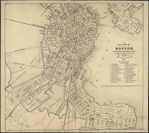
New map of Boston, comprising the whole city, with the new boundaries of the wards
482.
New map of Boston, comprising the whole city, with the new boundaries of the wards
483.
New map of Boston, comprising the whole city, with the new boundaries of the wards
484.
New map of Boston, comprising the whole city, with the new boundaries of the wards
485.
New map of Boston, comprising the whole city, with the new boundaries of the wards
486.
New map of Boston, comprising the whole city with the new boundariess of the wards
487.
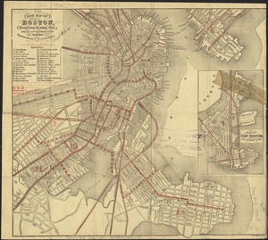
New map of Boston from latest surveys
488.
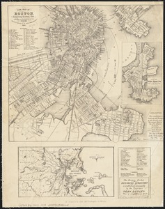
New map of Boston giving all points of interest : with every railway & steamboat terminus, prominent hotels, theatres & public...
489.
New map of Boston giving all points of interest : with every railway & steamboat terminus, prominent hotels, theatres & public...
490.
New map of Boston giving all points of interest : with every railway & steamboat terminus, prominent hotels, theatres & public...
491.
New map of the central portion of Boston
492.
New map of the vicinity of Boston, with the dates of settlement and distance from the capital
493.
New map of the vicinity of Boston, with the dates of settlement and distance from the capital
494.
A new plan of Boston : drawn from the best authorities with the latest improvements, additionas and corrections
495.
Official map of Boston
496.
Old Boston, compiled from the Book of possessions
497.
One way streets, metered block faces, parking restriction areas and signal locations within the Boston regional core
498.
Open space 2017
499.
Outline map of Boston
500.
Outline plan showing the growth of Boston
‹ Prev
Next ›
1
2
…
21
22
23
24
25
26
27
28
29
…
443
444