Toggle navigation
LMEC Home
Exhibitions
Georeferencing
Tools for Teachers
Collections
My Favorites
Sign Up / Log In
Search
Search the map portal
Map Collection
Map Collection
Map Sets
Search
Search
Search for
Search In
All Fields
Creator
Title
Subject
Place
Search All Digital Collections
Advanced Search
8775 Results
My Search
Start Over
More Like
commonwealth:9s161f90v
Remove constraint More Like: commonwealth:9s161f90v
Filter your Search
Place
North and Central America
6,006
United States
4,923
Massachusetts
2,089
Europe
1,396
Suffolk (county)
1,124
Boston
1,097
Canada
449
Asia
438
more
Place
»
Topic
Boston (Mass.)--Maps
607
United States--Maps
282
Real property--Massachusetts--Boston--Maps
253
Landowners--Massachusetts--Boston--Maps
170
Massachusetts--Maps
163
City planning--Massachusetts--Boston--Maps
108
North America--Maps--Early works to 1800
103
New England--Maps
102
more
Topic
»
Date
Date range begin
–
Date range end
Current results range from
1482
to
2023
View distribution
Creator
United States. Hydrographic Office
595
O.H. Bailey & Co
148
Des Barres, Joseph F. W. (Joseph Frederick Wallet), 1722-1824
123
United States. Post Office Dept
120
Boston Redevelopment Authority
111
Ptolemy, 2nd cent
100
Walling, Henry Francis, 1825-1888
94
Geological Survey (U.S.)
87
more
Creator
»
Format
Maps/Atlases
8,715
Manuscripts
215
Prints
56
Books
36
Objects/Artifacts
10
Drawings/Illustrations
8
Posters
5
Georeferenced
Yes
869
No
7,906
Collection
Norman B. Leventhal Map & Education Center Collection
8,695
Boston and New England Maps
2,276
Urban Maps
2,066
Maritime Charts and Atlases
1,083
American Revolutionary War-Era Maps
616
Boston Redevelopment Authority Collection
130
Massachusetts Real Estate Atlases
37
Applied Geographics, Inc. Records
1
Available to use
No known restrictions
8,596
Creative Commons license
47
Search Constraints
Sort by relevance
relevance
title
date (asc)
date (desc)
Number of results to display per page
20 per page
10
per page
20
per page
50
per page
100
per page
View results as:
grid view
map view
Search Results
4321.
Map of the metropolitan district of Boston, Massachusetts : showing local public reservations and holdings of the Metropolitan...
4322.
Map of the Metropolitan District of Boston showing local public reservations and holdings of the Metropolitan District...
4323.
Map of the Mexican National Railway : showing also its relative position to the railway system of the United States, both as to...
4324.
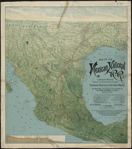
Map of the Mexican National R.R "Laredo route " and connections : the scenic short line to the city of Mexico
4325.
A map of the middle British colonies in North America : first published by Mr. Lewis Evans, of Philadelphia, in 1755; and since...
4326.
A map of the middle British colonies in North America : first published by Mr. Lewis Evans, of Philadelphia, in 1755; and since...
4327.
Map of the middle states of America : comprehends New-York, New-Jersey, Pennsylvania, Delaware, and the territory N.W. of Ohio
4328.
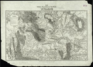
Map of the military Department of the Platte Wyoming
4329.
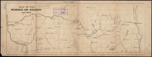
Map of the Milwaukee and Mississippi Rail-Road
4330.
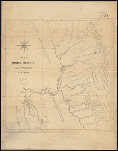
Map of the mining district of California
4331.
Map of the Mississippi River, from Cairo to the Gulf of Mexico, showing the position of the rebel fortifications at the mouth...
4332.
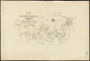
Map of the Monongahela River from Pittsburgh to Brownsville showing the location of coal works
4333.
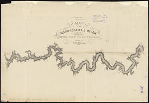
Map of the Monongahela River from the Virginia line to Pittsburgh
4334.
A map of the most inhabited part of New England : containing the provinces of Massachusets Bay and New Hampshire, with the...
4335.
A map of the most inhabited part of New England : containing the provinces of Massachusets Bay and New Hampshire, with the...
4336.
A map of the most inhabited part of New England : containing the provinces of Massachusets Bay and New Hampshire, with the...
4337.
A map of the most inhabited part of New England : containing the provinces of Massachusets Bay and New Hampshire, with the...
4338.
A map of the most inhabited part of New England : containing the provinces of Massachusets Bay and New Hampshire, with the...
4339.
A map of the most inhabited part of New England : containing the provinces of Massachusets Bay and New Hampshire, with the...
4340.
A map of the most inhabited part of New England containing the provinces of Massachusets Bay and New Hampshire with the...
‹ Prev
Next ›
1
2
…
213
214
215
216
217
218
219
220
221
…
438
439


![A map of the most inhabited part of New England containing the provinces of Massachusets Bay and New Hampshire with the colonies of Connecticut and Rhode Island divided into counties and townships the w[h]ole composed from actual surveys and its situation adjusted by astronomical observations](https://bpldcassets.blob.core.windows.net/derivatives/images/commonwealth:6t053p316/image_thumbnail_300.jpg)