Toggle navigation
LMEC Home
Exhibitions
Georeferencing
Tools for Teachers
Collections
My Favorites
Sign Up / Log In
Search
Search the map portal
Map Collection
Map Collection
Map Sets
Search
Search
Search for
Search In
All Fields
Creator
Title
Subject
Place
Search All Digital Collections
Advanced Search
8717 Results
My Search
Start Over
More Like
commonwealth:9s161b907
Remove constraint More Like: commonwealth:9s161b907
Filter your Search
Place
North and Central America
5,948
United States
4,857
Massachusetts
2,079
Europe
1,396
Suffolk (county)
1,046
Boston
1,019
Canada
449
Asia
438
more
Place
»
Topic
Boston (Mass.)--Maps
586
United States--Maps
282
Real property--Massachusetts--Boston--Maps
175
Massachusetts--Maps
162
Landowners--Massachusetts--Boston--Maps
133
North America--Maps--Early works to 1800
103
New England--Maps
102
Europe--Maps
79
more
Topic
»
Date
Date range begin
–
Date range end
Current results range from
1482
to
2023
View distribution
Creator
United States. Hydrographic Office
595
O.H. Bailey & Co
148
Des Barres, Joseph F. W. (Joseph Frederick Wallet), 1722-1824
123
United States. Post Office Dept
120
Ptolemy, 2nd cent
100
Walling, Henry Francis, 1825-1888
94
Geological Survey (U.S.)
86
Jefferys, Thomas, -1771
86
more
Creator
»
Format
Maps/Atlases
8,657
Manuscripts
217
Prints
56
Books
36
Objects/Artifacts
10
Drawings/Illustrations
8
Posters
5
Georeferenced
Yes
869
No
7,848
Collection
Norman B. Leventhal Map & Education Center Collection
8,694
Boston and New England Maps
2,233
Urban Maps
2,023
Maritime Charts and Atlases
1,083
American Revolutionary War-Era Maps
638
Boston Redevelopment Authority Collection
87
MacLean Collection Map Library
11
New York Public Library Collection
5
more
Collection
»
Available to use
No known restrictions
8,552
Creative Commons license
58
Search Constraints
Sort by relevance
relevance
title
date (asc)
date (desc)
Number of results to display per page
20 per page
10
per page
20
per page
50
per page
100
per page
View results as:
grid view
map view
Search Results
4401.
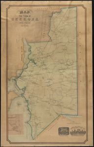
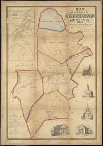
Map of the town of Roxbury
4402.
Map of the town of Sandwich, Barnstable County, Mass : surveyed by order of the town
4403.
Map of the town of Seekonk
4404.
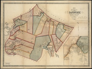
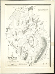
Map of the town of Sharon, Litchfield County, Connecticut
4405.
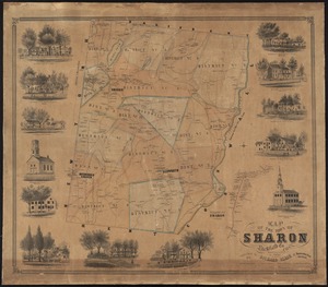
A map of the town of Sharon, Mass : formerly a part of Stoughton
4406.
A Map of the town of Shrewsbury, Mass
4407.
A map of the Town of Shrewsbury, Mass
4408.
Map of the town of Southborough Worcester County, Mass : surveyed by order of the town
4409.
Map of the town of Southbridge, Mass : including detail plans of Southbridge, Globe village and Sandersdale from recent and...
4410.
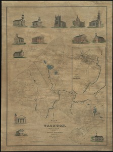
Map of the town of Taunton, with a view of the public buildings
4411.
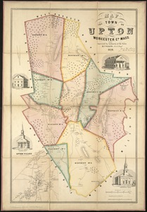
Map of the town of Upton, Worcester Co., Mass : surveyed by authority of the town
4412.
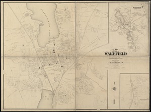
Map of the town of Wakefield Middlesex Co. Mass : from actual surveys
4413.
Map of the town of Walpole Norfolk County Mass : surveyed by authority of the town
4414.
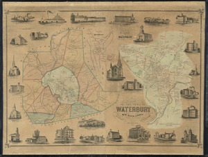
Map of the town of Waterbury, New Haven County, Connecticut
4415.
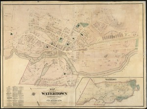
Map of the town of Watertown : Middlesex Co., Mass., from actual surveys
4416.
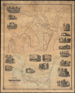
Map of the town of Winchester, Litchfield County, Conn
4417.
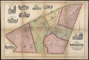
Map of the town of Winchester, Middlesex County, Mass : surveyed by order of the town
4418.
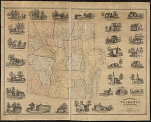
Map of the town of Woodbury, Litchfield County, Connecticut
4419.
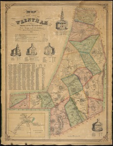
Map of the town of Wrentham : Norfolk County, Massachusetts
4420.
A map of the towns of Dorchester and Milton, 1831
‹ Prev
Next ›
1
2
…
217
218
219
220
221
222
223
224
225
…
435
436