Toggle navigation
LMEC Home
Exhibitions
Georeferencing
Tools for Teachers
Collections
My Favorites
Sign Up / Log In
Search
Search the map portal
Map Collection
Map Collection
Map Sets
Search
Search
Search for
Search In
All Fields
Creator
Title
Subject
Place
Search All Digital Collections
Advanced Search
8975 Results
My Search
Start Over
More Like
commonwealth:9s161b729
Remove constraint More Like: commonwealth:9s161b729
Filter your Search
Place
North and Central America
6,206
United States
5,122
Massachusetts
2,175
Europe
1,396
Suffolk (county)
1,321
Boston
1,294
Canada
449
Asia
438
more
Place
»
Topic
Boston (Mass.)--Maps
752
United States--Maps
282
Real property--Massachusetts--Boston--Maps
253
City planning--Massachusetts--Boston--Maps
239
Landowners--Massachusetts--Boston--Maps
170
Massachusetts--Maps
166
Urban renewal--Massachusetts--Boston--Maps
125
New England--Maps
104
more
Topic
»
Date
Date range begin
–
Date range end
Current results range from
1482
to
2023
View distribution
Creator
United States. Hydrographic Office
595
Boston Redevelopment Authority
246
O.H. Bailey & Co
148
Des Barres, Joseph F. W. (Joseph Frederick Wallet), 1722-1824
124
United States. Post Office Dept
120
Ptolemy, 2nd cent
100
Walling, Henry Francis, 1825-1888
94
Geological Survey (U.S.)
87
more
Creator
»
Format
Maps/Atlases
8,915
Manuscripts
215
Prints
56
Books
36
Objects/Artifacts
10
Drawings/Illustrations
8
Posters
5
Georeferenced
Yes
885
No
8,090
Collection
Norman B. Leventhal Map & Education Center Collection
8,724
Boston and New England Maps
2,445
Urban Maps
2,229
Maritime Charts and Atlases
1,083
American Revolutionary War-Era Maps
638
Boston Redevelopment Authority Collection
278
Massachusetts Real Estate Atlases
38
Mapping Boston Collection
20
more
Collection
»
Available to use
No known restrictions
8,752
Creative Commons license
70
Search Constraints
Sort by relevance
relevance
title
date (asc)
date (desc)
Number of results to display per page
20 per page
10
per page
20
per page
50
per page
100
per page
View results as:
grid view
map view
Search Results
7021.
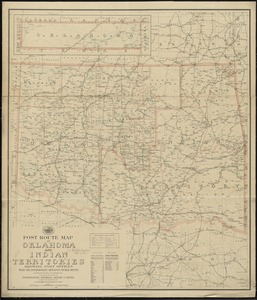
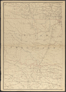
Post route map of Oklahoma and Indian territories showing post offices with the intermediate distances on mail routes in...
7022.
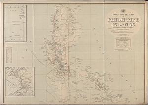
Post route map of Philippine Islands showing post offices in operation on the 1st of December, 1903
7023.
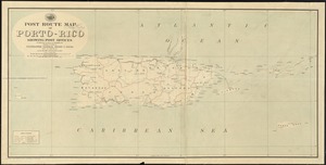
Post route map of Porto-Rico showing post offices in operation on the 1st of December, 1903
7024.
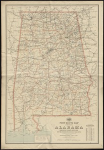
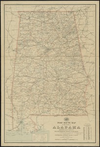
Post route map of the State of Alabama showing post offices with the intermediate distances on mail routes in operation on the...
7025.
Post route map of the state of Alabama showing post offices with the intermediate distances on mail routes in operation on the...
7026.
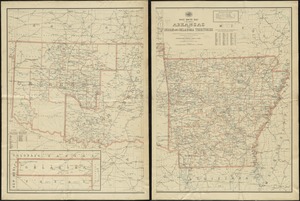
Post route map of the state of Arkansas and of Indian and Oklahoma territories showing post offices with the intermediate...
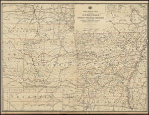
7027.
Post route map of the State of Arkansas and of Indian and Oklahoma territories with adjacent portions of Mississippi,...
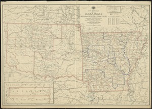
7028.
Post route map of the State of Arkansas and of Indian and Oklahoma territories with adjacent portions of Mississippi,...
7029.
Post route map of the state of Arkansas and of the Indian Territory, with adjacent portions of Mississippi, Tennessee,...
7030.
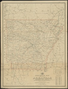
Post route map of the state of Arkansas showing post offices with the intermediate distances on mail routes in operation on the...
7031.
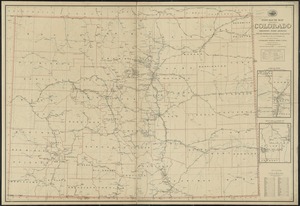
Post route map of the State of Colorado showing post offices with the intermediate distances and mail routes in operation on...
7032.
Post route map of the State of Colorado showing post offices with the intermediate distances and mail routes in operation on...
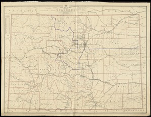
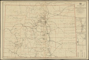
7033.
Post route map of the State of Colorado showing post offices with the intermediate distances on mail routes in operation on the...
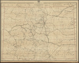
7034.
Post route map of the State of Colorado showing post offices with the intermediate distances on mail routes in operation on the...
7035.
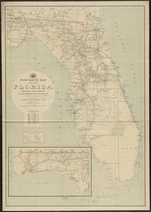
Post route map of the State of Florida showing post offices with the intermediate distances and mail routes in operation on the...
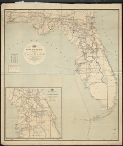
7036.
Post route map of the state of Florida showing post offices with the intermediate distances and mail routes in operation on the...
7037.
Post route map of the state of Florida showing post offices with the intermediate distances on mail routes in operation on the...
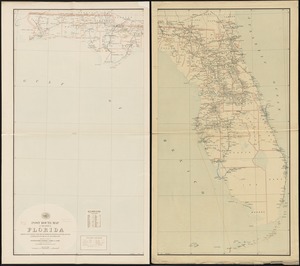
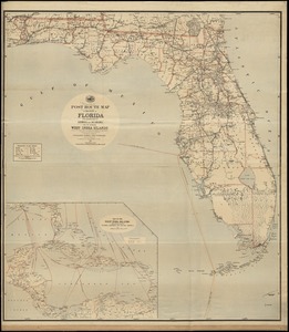
7038.
Post route map of the State of Florida with adjacent parts of Georgia and Alabama also the neighboring West India Islands...
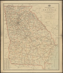
7039.
Post route map of the State of Georgia showing post offices with the intermediate distances and mail routes in operation on the...
7040.
Post route map of the state of Georgia showing post offices with the intermediate distances on mail routes in operation on the...
‹ Prev
Next ›
1
2
…
348
349
350
351
352
353
354
355
356
…
448
449