Toggle navigation
LMEC Home
Exhibitions
Georeferencing
Tools for Teachers
Collections
My Favorites
Sign Up / Log In
Search
Search the map portal
Map Collection
Map Collection
Map Sets
Search
Search
Search for
Search In
All Fields
Creator
Title
Subject
Place
Search All Digital Collections
Advanced Search
8727 Results
My Search
Start Over
More Like
commonwealth:9s1619171
Remove constraint More Like: commonwealth:9s1619171
Filter your Search
Place
North and Central America
5,958
United States
4,876
Massachusetts
2,111
Europe
1,396
Suffolk (county)
1,078
Boston
1,051
Canada
449
Asia
438
more
Place
»
Topic
Boston (Mass.)--Maps
588
United States--Maps
282
Real property--Massachusetts--Boston--Maps
177
Massachusetts--Maps
162
Landowners--Massachusetts--Boston--Maps
134
North America--Maps--Early works to 1800
103
New England--Maps
102
City planning--Massachusetts--Boston--Maps
93
more
Topic
»
Date
Date range begin
–
Date range end
Current results range from
1482
to
2023
View distribution
Creator
United States. Hydrographic Office
595
O.H. Bailey & Co
148
Des Barres, Joseph F. W. (Joseph Frederick Wallet), 1722-1824
123
United States. Post Office Dept
120
Ptolemy, 2nd cent
100
Boston Redevelopment Authority
95
Walling, Henry Francis, 1825-1888
94
Geological Survey (U.S.)
86
more
Creator
»
Format
Maps/Atlases
8,666
Manuscripts
215
Prints
56
Books
36
Objects/Artifacts
10
Drawings/Illustrations
9
Posters
5
Georeferenced
Yes
870
No
7,857
Collection
Norman B. Leventhal Map & Education Center Collection
8,697
Boston and New England Maps
2,261
Urban Maps
2,050
Maritime Charts and Atlases
1,083
American Revolutionary War-Era Maps
620
Boston Redevelopment Authority Collection
113
William L. Clements Library Collection
3
Mapping Boston Collection
2
more
Collection
»
Available to use
No known restrictions
8,579
Creative Commons license
49
Search Constraints
Sort by relevance
relevance
title
date (asc)
date (desc)
Number of results to display per page
20 per page
10
per page
20
per page
50
per page
100
per page
View results as:
grid view
map view
Search Results
601.
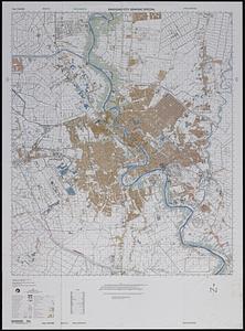
Baghdad city graphic special
602.
Bahama Islands, Crooked Island Anchorage : from a British survey in 1834
603.
Bahía y ciudad de Bayaha, o Puerto del Delfin, en la Isla de Santo Domingo
604.
Bahvsia arx Norwegiæ regi Sueciæ Carolo Gvstavo ex pactis Rodschildensibus traet in eandem Sdita. R. Mtis. introitus die 30...
605.
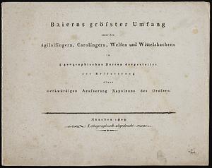
Baierns grösster umfang unter den Agilolfingern, Carolingern, Welfen und Wittelsbachern, in 4 geographischen karten...
606.
Baldwinville, Mass
607.
Balkan Peninsula
608.
Balkan peninsula
609.
Die Balkan-Halbinsel in 4 blättern : Türkei, Rumänien, Griechenland, Serbien, Montenegro, Bulgarien
610.
The Balkans
611.
The Balkans
612.
Ballardvale, Mass : 1885
613.
Balloon view, Cape Ann to Boston
614.
Balloon view Provincetown to Boston
615.
Balloon view--Boston Harbor
616.
Baltic Basin
617.
Baltic provinces
618.
Baltic Sea : additional plans to chart no. 293
619.
Bancroft's map of the Rocky Mountain states, and the Pacific coast
620.
Bancroft's official guide map of city and county of San Francisco : compiled from official maps in Surveyor's Office
‹ Prev
Next ›
1
2
…
27
28
29
30
31
32
33
34
35
…
436
437