Toggle navigation
LMEC Home
Exhibitions
Georeferencing
Tools for Teachers
Collections
My Favorites
Sign Up / Log In
Search
Search the map portal
Map Collection
Map Collection
Map Sets
Search
Search
Search for
Search In
All Fields
Creator
Title
Subject
Place
Search All Digital Collections
Advanced Search
8557 Results
My Search
Start Over
More Like
commonwealth:9g54xt77k
Remove constraint More Like: commonwealth:9g54xt77k
Filter your Search
Place
North and Central America
5,852
United States
4,776
Massachusetts
2,053
Europe
1,359
Suffolk (county)
1,034
Boston
1,007
Canada
448
Asia
422
more
Place
»
Topic
Boston (Mass.)--Maps
577
United States--Maps
273
Real property--Massachusetts--Boston--Maps
174
Massachusetts--Maps
160
Landowners--Massachusetts--Boston--Maps
132
North America--Maps--Early works to 1800
103
New England--Maps
99
Europe--Maps
78
more
Topic
»
Date
Date range begin
–
Date range end
Current results range from
1482
to
2023
View distribution
Creator
United States. Hydrographic Office
594
O.H. Bailey & Co
148
Des Barres, Joseph F. W. (Joseph Frederick Wallet), 1722-1824
123
United States. Post Office Dept
120
Ptolemy, 2nd cent
100
Walling, Henry Francis, 1825-1888
94
Geological Survey (U.S.)
86
Jefferys, Thomas, -1771
85
more
Creator
»
Format
Maps/Atlases
8,498
Manuscripts
215
Prints
56
Books
36
Objects/Artifacts
10
Drawings/Illustrations
8
Posters
4
Georeferenced
Yes
869
No
7,688
Collection
Norman B. Leventhal Map & Education Center Collection
8,551
Boston and New England Maps
2,205
Urban Maps
1,937
Maritime Charts and Atlases
1,081
American Revolutionary War-Era Maps
616
Boston Redevelopment Authority Collection
87
Massachusetts Real Estate Atlases
6
Applied Geographics, Inc. Records
1
Available to use
No known restrictions
8,410
Creative Commons license
46
Search Constraints
Sort by relevance
relevance
title
date (asc)
date (desc)
Number of results to display per page
20 per page
10
per page
20
per page
50
per page
100
per page
View results as:
grid view
map view
Search Results
3541.
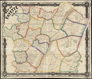
Map of Fayette Co. Pa
3542.
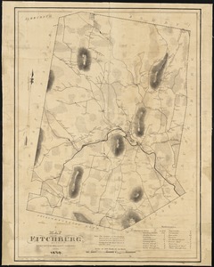
A map of Fitchburg, Mass
3543.
Map of Forest Park, showing [St. Louis]
3544.
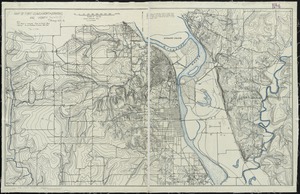
Map of Fort Leavenworth, Kansas and vicinity
3545.
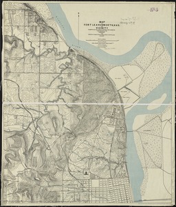
Map of Fort Leavenworth, Kas. and vicinity
3546.
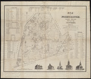
Map of Foxborough : containing 12806 acres
3547.
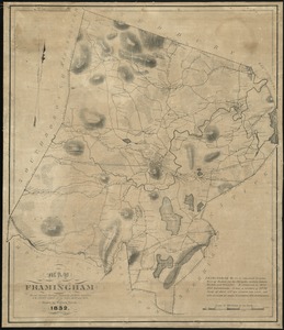
Map of Framingham : from actual surveys taken by Jonas Clayes & Warren Nixon in the years 1830 and 1831
3548.
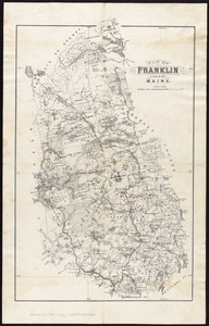
Map of Franklin County, Maine
3549.
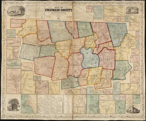
Map of Franklin County, Massachusetts : based upon the trigonometrical survey of the state
3550.
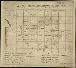
A map of Friends settlement, in the township of Le Ray Jefferson Co
3551.
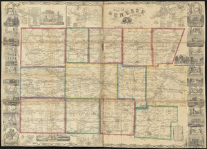
Map of Genesee County, New York
3552.
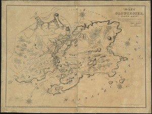
Map of Gloucester, Cape Ann : shewing the roads, harbours, rivers, coves, islands & ledges surrounding that important cape,...
3553.
Map of Great Brewster Island, Boston Harbor : showing the abrasion from 1820 to 1851 inclusive
3554.
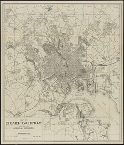
Map of greater Baltimore, compiled from official records : area 91.93 sq. mi
3555.
Map of greater New York : Map of the borough of Manhattan
3556.
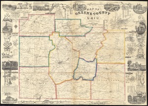
Map of Greene County, Ohio
3557.
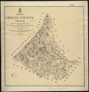
Map of Greene County, Virginia
3558.
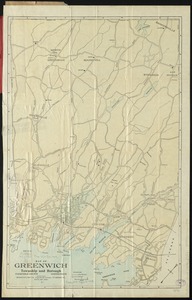
Map of Greenwich, township and borough, Fairfield County, Connecticut
3559.
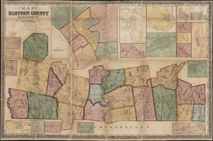
Map of Hampden County, Massachusetts : based upon the trigonometrical survey of the state
3560.
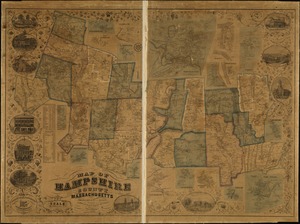
Map of Hampshire County, Massachusetts
‹ Prev
Next ›
1
2
…
174
175
176
177
178
179
180
181
182
…
427
428
![Map of Forest Park, showing [St. Louis]](https://bpldcassets.blob.core.windows.net/derivatives/images/commonwealth:4m90fb114/image_thumbnail_300.jpg)