Toggle navigation
LMEC Home
Exhibitions
Georeferencing
Tools for Teachers
Collections
My Favorites
Sign Up / Log In
Search
Search the map portal
Map Collection
Map Collection
Map Sets
Search
Search
Search for
Search In
All Fields
Creator
Title
Subject
Place
Search All Digital Collections
Advanced Search
8876 Results
My Search
Start Over
More Like
commonwealth:8336h2581
Remove constraint More Like: commonwealth:8336h2581
Filter your Search
Place
North and Central America
6,107
United States
5,023
Massachusetts
2,141
Europe
1,396
Suffolk (county)
1,210
Boston
1,183
Canada
449
Asia
438
more
Place
»
Topic
Boston (Mass.)--Maps
752
United States--Maps
282
Real property--Massachusetts--Boston--Maps
195
Massachusetts--Maps
166
City planning--Massachusetts--Boston--Maps
158
Landowners--Massachusetts--Boston--Maps
142
New England--Maps
104
North America--Maps--Early works to 1800
103
more
Topic
»
Date
Date range begin
–
Date range end
Current results range from
1482
to
2023
View distribution
Creator
United States. Hydrographic Office
595
Boston Redevelopment Authority
162
O.H. Bailey & Co
148
Des Barres, Joseph F. W. (Joseph Frederick Wallet), 1722-1824
124
United States. Post Office Dept
120
Ptolemy, 2nd cent
100
Walling, Henry Francis, 1825-1888
94
Geological Survey (U.S.)
87
more
Creator
»
Format
Maps/Atlases
8,816
Manuscripts
215
Prints
56
Books
36
Objects/Artifacts
10
Drawings/Illustrations
8
Posters
6
Georeferenced
Yes
885
No
7,991
Collection
Norman B. Leventhal Map & Education Center Collection
8,732
Boston and New England Maps
2,367
Urban Maps
2,142
Maritime Charts and Atlases
1,088
American Revolutionary War-Era Maps
643
Boston Redevelopment Authority Collection
192
Mapping Boston Collection
28
William L. Clements Library Collection
15
more
Collection
»
Available to use
No known restrictions
8,666
Creative Commons license
78
Search Constraints
Sort by relevance
relevance
title
date (asc)
date (desc)
Number of results to display per page
20 per page
10
per page
20
per page
50
per page
100
per page
View results as:
grid view
map view
Search Results
6741.
Plan of the town of Boston, with the attack on Bunkers-Hill, in the peninsula of Charlestown, the 17th of June, 1775
6742.
Plan of the town of Boston with the attack on Bunkers-Hill in the peninsula of Charlestown the 17th of June 1775
6743.
Plan of the town of Brighton
6744.
Plan of the town of Cayenne and Fort St. Michael
6745.
Plan of the town of Dorchester
6746.
Plan of the town of Lowell and Belvidere Village
6747.
Plan of the town of Meriden, New Haven County, Connecticut
6748.
Plan of the town of Millbury : Worcester Co. Mass. : from recent and actual surveys
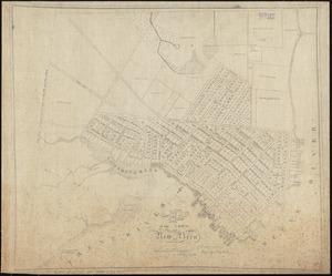
6749.
A plan of the town of New Bern
6750.
A plan of the town of New Haven : with all the buildings in 1748 taken by the Hon. Gen. Wadsworth of Durham to which are added...
6751.
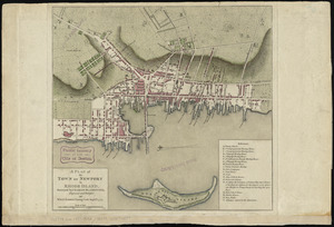
A plan of the town of Newport in Rhode Island
6752.
A plan of the town of Newport in the province of Rhode Island
6753.
A plan of the town of Newport in the province of Rhode Island
6754.
Plan of the town of Quebec, the capital of Canada in North America, with the Bason and a part of the adjacent country shewing...
6755.
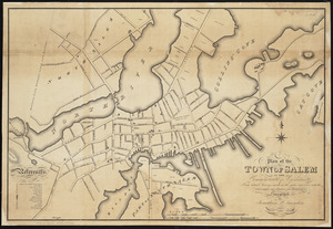
Plan of the town of Salem in the commonwealth of Massachusetts : from actual surveys, made in the years 1796 & 1804; with the...
6756.
A plan of the town of Walpole taken by an actual survey in the month of October 1794 and layed down from a scale of 200 rods to...
6757.
Plan of the town of West Roxbury : compiled from various plans and surveys, by order of the selectmen
6758.
Plan of the town, road, and harbour of Chagre ; Plan of Porto Belo
6759.
Plan of the towns of Clinton, Worcester Co. Mass : from recent surveys and records
6760.
Plan of the towns of Sturbridge and Southbridge : from actual surveys and records
‹ Prev
Next ›
1
2
…
334
335
336
337
338
339
340
341
342
…
443
444