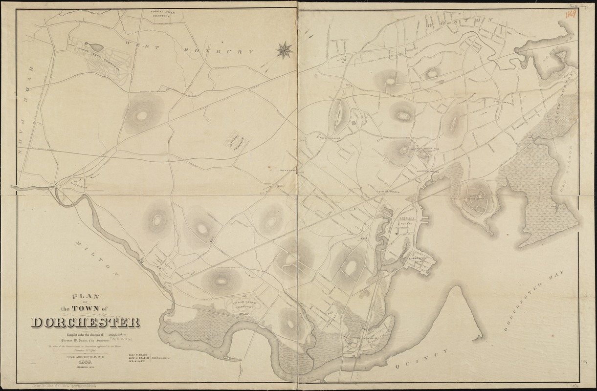
Plan of the town of Dorchester
Item Information
- Title:
- Plan of the town of Dorchester
- Creator:
- Boston (Mass.). City surveyor
- Name on Item:
-
compiled under the direction of Thomas W. Davis, by order of the Commissioners on Annexation.
- Date:
-
1870
- Format:
-
Maps/Atlases
- Location:
-
Boston Public Library
Norman B. Leventhal Map & Education Center - Collection (local):
-
Norman B. Leventhal Map & Education Center Collection
- Subjects:
-
Dorchester (Boston, Mass.)--Maps
- Places:
-
MassachusettsSuffolk (county)BostonDorchester
- Extent:
- 1 map ; 86 x 134 cm.
- Terms of Use:
-
No known copyright restrictions.
No known restrictions on use.
- Publisher:
-
Boston, Mass :
[Engineering Dept.?]
- Scale:
-
Scale 1:6,000.
- Language:
-
English
- Notes:
-
Oriented with north toward the upper right.
Relief shown by hachures.
- Identifier:
-
06_01_003868
- Call #:
-
G3764.B6:2D6 1870 .B67x
- Barcode:
-
39999059002426


