Toggle navigation
LMEC Home
Exhibitions
Georeferencing
Tools for Teachers
Collections
My Favorites
Sign Up / Log In
Search
Search the map portal
Map Collection
Map Collection
Map Sets
Search
Search
Search for
Search In
All Fields
Creator
Title
Subject
Place
Search All Digital Collections
Advanced Search
8832 Results
My Search
Start Over
More Like
commonwealth:8049g9430
Remove constraint More Like: commonwealth:8049g9430
Filter your Search
Place
North and Central America
6,009
United States
4,859
Massachusetts
2,079
Europe
1,396
Suffolk (county)
1,046
Boston
1,019
Canada
454
Asia
441
more
Place
»
Topic
Boston (Mass.)--Maps
586
United States--Maps
282
North America--Maps--Early works to 1800
240
Real property--Massachusetts--Boston--Maps
175
Massachusetts--Maps
162
Landowners--Massachusetts--Boston--Maps
133
New England--Maps
102
Europe--Maps
79
more
Topic
»
Date
Date range begin
–
Date range end
Current results range from
1482
to
2023
View distribution
Creator
United States. Hydrographic Office
595
O.H. Bailey & Co
148
Des Barres, Joseph F. W. (Joseph Frederick Wallet), 1722-1824
123
United States. Post Office Dept
120
Ptolemy, 2nd cent
100
Walling, Henry Francis, 1825-1888
94
Jefferys, Thomas, -1771
92
Sayer, Robert, 1725-1794
87
more
Creator
»
Format
Maps/Atlases
8,772
Manuscripts
217
Prints
56
Books
36
Objects/Artifacts
10
Drawings/Illustrations
8
Posters
5
Georeferenced
Yes
872
No
7,960
Collection
Norman B. Leventhal Map & Education Center Collection
8,704
Boston and New England Maps
2,234
Urban Maps
2,023
Maritime Charts and Atlases
1,083
American Revolutionary War-Era Maps
738
Boston Redevelopment Authority Collection
87
MacLean Collection Map Library
59
New York Public Library Collection
32
more
Collection
»
Available to use
No known restrictions
8,556
Creative Commons license
111
Search Constraints
Sort by relevance
relevance
title
date (asc)
date (desc)
Number of results to display per page
20 per page
10
per page
20
per page
50
per page
100
per page
View results as:
grid view
map view
Search Results
121.
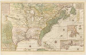
Amerique Septentrionale avec les routes, distances en miles, villages et etablissements françois et anglois = North America
122.
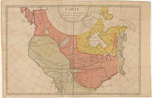
Amerique septentrionale divisée en ses principales parties
123.
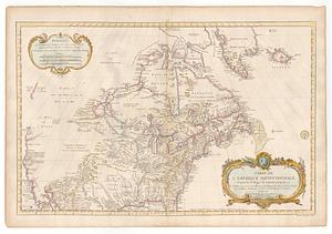
Amerique Septentrionale divisée en ses principales parties, ou sont distingués les vns des autres les estats suivant qu'il...
124.
L'Amerique Septentrionale divisee en ses principaux etats
125.
L'Amerique Septentrionale, dressée sur les mémoires les plus récens des meilleurs geographes
126.
Amérique Septentrionale dressée sur les relations les plus modernes des voyageurs et navigateurs, ou se remarquent les Etats...
127.
L'Amerique Septentrionale, ou se remarquent les Etats Unis
128.
L'Amérique Septentrionale, ou se remarquent les Etats Unis
129.
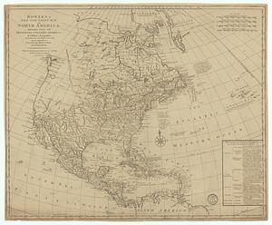
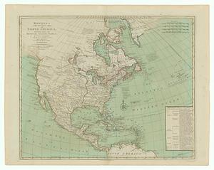
Bowles's new and accurate map of North America and the West Indies : exhibiting the extent and boundaries of the United States,...
130.
Bowles's new one-sheet map of America, divided into it's provinces, colonies, states, &c.
131.
Bowles's new pocket map of North America divided into it's provinces, colonies, &c.
132.
BOWLES'S NEW POCKET MAP OF THE UNITED STATES OF AMERICA : WITH THE BRITISH POSSESSIONS OF CANADA, NOVA SCOTIA, AND OF...
133.
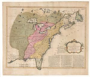
The British & French dominions in North America particularly shewing the French encroachments through all the British...
134.
Carta del Mar Pacifico del nord che comprendela costa nord est d'Asia e la costa-nord ouest d'America riconosciute nel 1778 e79...
135.
Carte de la Louisiane et des pays voisins : dédiée à M. Rouillé, sécretaire d'État, ayant le Département de la marine
136.
Carte de la Nouuelle France, augmentée depuis la derniere, seruant a la navigation faicte en son vray Meridien
137.
Carte de la Nouvelle France ou se voit le cours des grandes rivieres de S. Laurens & de Mississipi aujour d'hui S. Louis, aux...
138.
Carte de la partie septentrionale et occidentale de l' Amerique
139.
Carte de l'Amérique septentrionale, 1754
140.
Carte de l'Amerique Septentrionale depuis le 28 degre de latitude jusqu'au 7
‹ Prev
Next ›
1
2
3
4
5
6
7
8
9
10
11
…
441
442