Toggle navigation
LMEC Home
Collections
My Favorites
Exhibitions
Georeferencing
Tools for Teachers
Sign Up / Log In
Search
Search the map portal
Search
Search
Search for
Search in
All Fields
Title
Subject
Place
Creator
Search All Digital Collections
Advanced Search
494 Results
Search Constraints
My Search
Start Over
More like
commonwealth:7h14cw92x
Remove constraint More like: commonwealth:7h14cw92x
Filter your Search
Show filters
Hide filters
Place
Massachusetts
491
North and Central America
491
United States
491
Suffolk (county)
481
Boston
480
South End
55
Roxbury
48
Back Bay
44
more
Place
»
Topic
City planning--Massachusetts--Boston--Maps
419
Urban renewal--Massachusetts--Boston--Maps
253
Boston (Mass.)--Maps
131
Land use--Massachusetts--Boston--Maps
101
Buildings--Massachusetts--Boston--Maps
82
Real property--Massachusetts--Boston--Maps
54
South End (Boston, Mass.)--Maps
48
Back Bay (Boston, Mass.)--Maps
46
more
Topic
»
Creator
Boston Redevelopment Authority
372
Downtown Waterfront Corporation
10
Victor Gruen Associates
10
Boston (Mass.). Parks and Recreation Department
8
Sasaki Associates
6
Boston (Mass.). Department of Parks
5
Boston (Mass.). Water and Sewer Commission
5
I.M. Pei & Associates
5
more
Creator
»
Format
Maps/Atlases
493
Drawings/Illustrations
3
Manuscripts
1
Prints
1
Georeferenced
Yes
63
No
431
Collection
Boston and New England Maps
484
Urban Maps
467
Boston Redevelopment Authority Collection
441
Norman B. Leventhal Map & Education Center Collection
108
Applied Geographics, Inc. Records
1
Available to use
No known restrictions
492
Creative Commons license
1
Sort
by date (asc)
relevance
title
date (asc)
date (desc)
recently added
Number of results to display per page
10
per page
per page
10
per page
20
per page
50
per page
100
per page
Search Results
1.
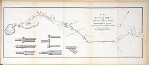
Plan of the route of pipes from Jamaica Pond, in Roxbury to the reservoir, in Boston
2.
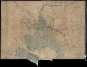
[Mill dam survey : Boston, Roxbury, Brookline &c.]
3.
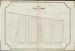
Plan of Public Garden : showing proposed arrangement of lots thereon
4.
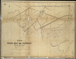
Plan of Back Bay and vicinity : prepared from surveys made under the direction of Simon Greenleaf, Joel Giles, Ezra Lincoln,...
5.
[Plan of boundary lines in Roxbury and the City of Boston]
6.
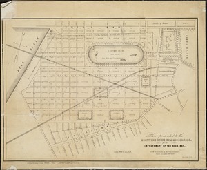
Plan presented to the honble. the State Commissioners for the improvement of the Back Bay
7.
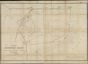
Plan of the receiving basin showing certain avenues and lines of release
8.
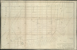
Plan accompanying the proposal made to the City of Boston by the Commissioners on Boston Harbor and the Back Bay Octr. 20, 1854...
9.
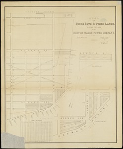
Plan of house lots & other lands offered for sale by the Boston Water Power Company
10.
Plan of lands belonging to the Boston Water Power Company
« Previous
Next »
1
2
3
4
5
…
49
50