Toggle navigation
LMEC Home
Exhibitions
Georeferencing
Tools for Teachers
Collections
My Favorites
Sign Up / Log In
Search
Search the map portal
Map Collection
Map Collection
Map Sets
Search
Search
Search for
Search In
All Fields
Creator
Title
Subject
Place
Search All Digital Collections
Advanced Search
508 Results
My Search
Start Over
More Like
commonwealth:7h14cw783
Remove constraint More Like: commonwealth:7h14cw783
Filter your Search
Place
North and Central America
505
United States
502
Suffolk (county)
494
Boston
493
Massachusetts
194
Charlestown
64
Roxbury
53
South End
49
more
Place
»
Topic
City planning--Massachusetts--Boston--Maps
418
Urban renewal--Massachusetts--Boston--Maps
253
Boston (Mass.)--Maps
132
Land use--Massachusetts--Boston--Maps
102
Buildings--Massachusetts--Boston--Maps
85
Charlestown (Boston, Mass.)--Maps
67
Real property--Massachusetts--Boston--Maps
61
Roxbury (Boston, Mass.)--Maps
50
more
Topic
»
Date
Date range begin
–
Date range end
Current results range from
1775
to
2022
View distribution
Creator
Boston Redevelopment Authority
372
Downtown Waterfront Corporation
10
Victor Gruen Associates
10
Boston (Mass.). Parks and Recreation Department
9
Sasaki Associates
6
Boston (Mass.). Department of Parks
5
Charles A. Maguire and Associates
5
I.M. Pei & Associates
5
more
Creator
»
Format
Maps/Atlases
506
Drawings/Illustrations
4
Manuscripts
1
Prints
1
Georeferenced
Yes
6
No
502
Collection
Boston and New England Maps
496
Urban Maps
476
Boston Redevelopment Authority Collection
442
Norman B. Leventhal Map & Education Center Collection
118
American Revolutionary War-Era Maps
4
William L. Clements Library Collection
3
David Judkins Weaver Papers
2
Mapping Boston Collection
2
more
Collection
»
Available to use
No known restrictions
501
Creative Commons license
2
Search Constraints
Sort by relevance
relevance
title
date (asc)
date (desc)
Number of results to display per page
20 per page
10
per page
20
per page
50
per page
100
per page
View results as:
grid view
map view
Search Results
221.
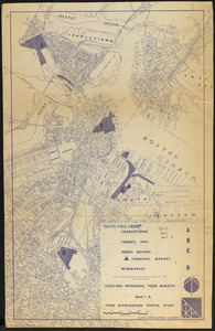
Food distribution center study : Food distribution site study
222.
FPIR/FEIR Olmsted Plaza : a redevelopment of the Sears property, 309 Park Drive/201 Brookline Avenue in the Fenway
223.
General plan : Government Center - Boston - 1959
224.
General plan of Franklin Park
225.
Government Center parcel 8 office tower competition program
226.
Government Center project Mass. r-35 : parcel 7 & subway structure topographic map
227.
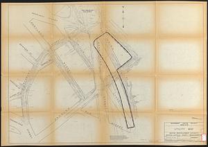
Government Center project Mass. r-35 : utility map
228.
Government Center project Mass. r-35 : property line map
229.
Government Center project no. Mass. r-35 : building deficiencies map
230.
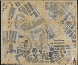
Government Center project no. Mass. r-35 : illustrative site plan
231.
Government Center project no. Mass. r-35 : disposition parcel map
232.
Government Center project no. Mass. r-35 : subway adjustments plan
233.
Government Center urban renewal area r-35 : parcel-7 easement plan
234.
Government Center urban renewal area r-35 parcel-7 : site section 1
235.
Government Center urban renewal area r-35 parcel-7 : site section 2
236.
Hancock Woods EGA
237.
The Harbor Park system
238.
Herald Street improvements
239.
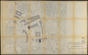
Illustrative site plan : Government Center
240.
Index to planning districts
‹ Prev
Next ›
1
2
…
8
9
10
11
12
13
14
15
16
…
25
26