Toggle navigation
LMEC Home
Exhibitions
Georeferencing
Tools for Teachers
Collections
My Favorites
Sign Up / Log In
Search
Search the map portal
Map Collection
Map Collection
Map Sets
Search
Search
Search for
Search In
All Fields
Creator
Title
Subject
Place
Search All Digital Collections
Advanced Search
528 Results
My Search
Start Over
More Like
commonwealth:7h14cw448
Remove constraint More Like: commonwealth:7h14cw448
Filter your Search
Place
North and Central America
525
United States
522
Suffolk (county)
515
Boston
514
Massachusetts
215
Roxbury
54
Fens
51
South End
49
more
Place
»
Topic
City planning--Massachusetts--Boston--Maps
418
Urban renewal--Massachusetts--Boston--Maps
253
Boston (Mass.)--Maps
168
Land use--Massachusetts--Boston--Maps
101
Buildings--Massachusetts--Boston--Maps
81
Real property--Massachusetts--Boston--Maps
56
Fenway (Boston, Mass.)--Maps
55
Roxbury (Boston, Mass.)--Maps
50
more
Topic
»
Date
Date range begin
–
Date range end
Current results range from
1835
to
2020
View distribution
Creator
Boston Redevelopment Authority
369
Massachusetts Bay Transportation Authority
12
Downtown Waterfront Corporation
10
Victor Gruen Associates
10
Boston (Mass.). Parks and Recreation Department
8
Boston Elevated Railway Company
8
General Drafting Company
8
Lufkin, Richard F. (Richard Friend)
8
more
Creator
»
Format
Maps/Atlases
527
Drawings/Illustrations
3
Manuscripts
1
Prints
1
Georeferenced
Yes
7
No
521
Collection
Boston and New England Maps
485
Urban Maps
468
Boston Redevelopment Authority Collection
442
Norman B. Leventhal Map & Education Center Collection
142
Available to use
No known restrictions
526
Creative Commons license
1
Search Constraints
Sort by relevance
relevance
title
date (asc)
date (desc)
Number of results to display per page
20 per page
10
per page
20
per page
50
per page
100
per page
View results as:
grid view
map view
Search Results
321.
Roxbury-N. Dorchester G.N.R.P. r-50 : proposed circulation
322.
Roxbury-N. Dorchester G.N.R.P. r-50 : proposed land use
323.
Roxbury-N. Dorchester G.N.R.P. r-50 : existing building conditions
324.
Roxbury-N. Dorchester G.N.R.P. r-50 : existing population density
325.
Ruggles Center : existing condition plan
326.
Ruggles Center : site area diagram
327.
Shawmut Avenue
328.
South Boston urban renewal area R-51
329.
South Boston urban renewal area r-51 : proposed circulation
330.
South Boston urban renewal area r-51 : existing and proposed community facilities
331.
South Boston urban renewal area r-51 : existing circulation
332.
South Boston urban renewal area r-51 : proposed land use
333.
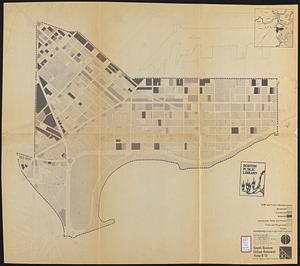
South Boston urban renewal area r-51 : existing land use
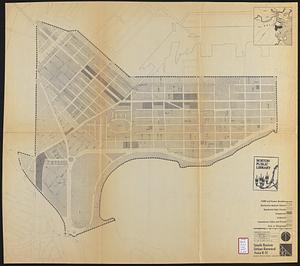
334.
South Boston urban renewal area r-51 : building conditions
335.
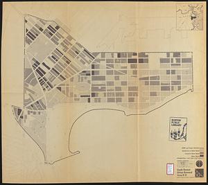
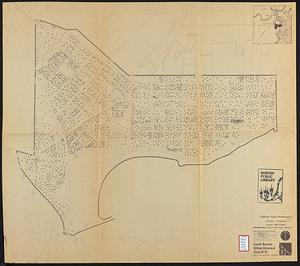
South Boston urban renewal area r-51 : existing population density
336.
South Boston urban renewal area r-51 : proposed treatment and title I projects
337.
South Boston urban renewal area r-51 : existing land use
338.
South Boston urban renewal area r-51 : existing and proposed public facilities
339.
South Boston urban renewal area r-51 : proposed circulation
340.
South Boston urban renewal area r-51 : existing circulation
‹ Prev
Next ›
1
2
…
13
14
15
16
17
18
19
20
21
…
26
27