Toggle navigation
LMEC Home
Exhibitions
Georeferencing
Tools for Teachers
Collections
My Favorites
Sign Up / Log In
Search
Search the map portal
Map Collection
Map Collection
Map Sets
Search
Search
Search for
Search In
All Fields
Creator
Title
Subject
Place
Search All Digital Collections
Advanced Search
505 Results
My Search
Start Over
More Like
commonwealth:7h14cv27d
Remove constraint More Like: commonwealth:7h14cv27d
Filter your Search
Place
North and Central America
502
United States
499
Suffolk (county)
491
Boston
490
Massachusetts
191
Charlestown
64
Roxbury
53
South End
49
more
Place
»
Topic
City planning--Massachusetts--Boston--Maps
418
Urban renewal--Massachusetts--Boston--Maps
253
Boston (Mass.)--Maps
130
Land use--Massachusetts--Boston--Maps
102
Buildings--Massachusetts--Boston--Maps
85
Charlestown (Boston, Mass.)--Maps
67
Real property--Massachusetts--Boston--Maps
61
Roxbury (Boston, Mass.)--Maps
50
more
Topic
»
Date
Date range begin
–
Date range end
Current results range from
1775
to
2003
View distribution
Creator
Boston Redevelopment Authority
372
Downtown Waterfront Corporation
10
Victor Gruen Associates
10
Boston (Mass.). Parks and Recreation Department
9
Sasaki Associates
6
Boston (Mass.). Department of Parks
5
Charles A. Maguire and Associates
5
I.M. Pei & Associates
5
more
Creator
»
Format
Maps/Atlases
503
Drawings/Illustrations
4
Manuscripts
1
Prints
1
Georeferenced
Yes
6
No
499
Collection
Boston and New England Maps
493
Urban Maps
475
Boston Redevelopment Authority Collection
442
Norman B. Leventhal Map & Education Center Collection
115
American Revolutionary War-Era Maps
4
William L. Clements Library Collection
3
Mapping Boston Collection
2
Applied Geographics, Inc. Records
1
more
Collection
»
Available to use
No known restrictions
498
Creative Commons license
2
Search Constraints
Sort by relevance
relevance
title
date (asc)
date (desc)
Number of results to display per page
20 per page
10
per page
20
per page
50
per page
100
per page
View results as:
grid view
map view
Search Results
301.
Ruggles Center : existing condition plan
302.
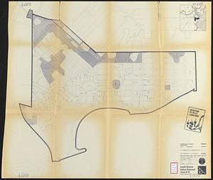
Ruggles Center : site area diagram
303.
Shawmut Avenue
304.
South Boston urban renewal area R-51
305.
South Boston urban renewal area r-51 : proposed circulation
306.
South Boston urban renewal area r-51 : existing and proposed community facilities
307.
South Boston urban renewal area r-51 : existing circulation
308.
South Boston urban renewal area r-51 : building conditions
309.
South Boston urban renewal area r-51 : existing population density
310.
South Boston urban renewal area r-51 : proposed treatment and title I projects
311.
South Boston urban renewal area r-51 : existing and proposed public facilities
312.
South Boston urban renewal area r-51 : proposed circulation
313.
South Boston urban renewal area r-51 : existing circulation
314.
South Boston urban renewal area r-51 : existing zoning
315.
South Boston urban renewal area r-51 : proposed zoning
316.
South Boston urban renewal area r-51 : existing building condition
317.
South Boston urban renewal area r-51 : proposed treatment and title I project
318.
South Cove : property status and unit ownership
319.
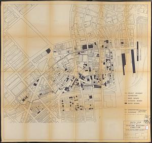
South Cove project no. Mass. r- : existing building condition
320.
South Cove project no Mass r- : locality map 2
‹ Prev
Next ›
1
2
…
12
13
14
15
16
17
18
19
20
…
25
26