Search Constraints
Search Results

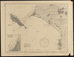
7481. South Africa

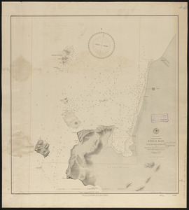
7482. South Africa

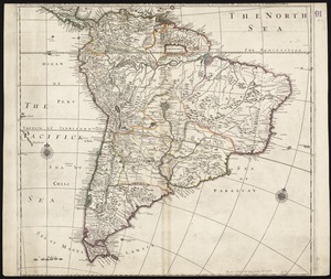
7483. South America

7484. South America

7485. South America

7486. South America

7487. South America

7488. South America


7490. South America