Search Constraints
Search Results

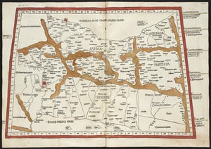
7003. Quarta Europae tabula

7005. Quebec
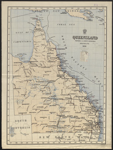
7006. Queensland
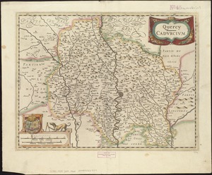
7007. Quercy : Cadurcium
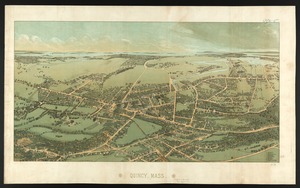
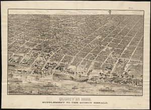
7008. Quincy, Mass
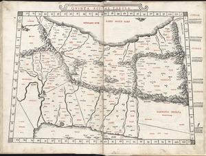
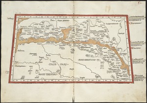
7009. Quinta Asiae tabula
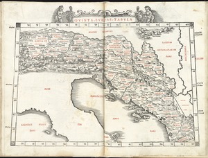
7011. Quinta Europae tabula

7014. The races of Europe