Toggle navigation
LMEC Home
Exhibitions
Georeferencing
Tools for Teachers
Collections
My Favorites
Sign Up / Log In
Search
Search the map portal
Map Collection
Map Collection
Map Sets
Search
Search
Search for
Search In
All Fields
Creator
Title
Subject
Place
Search All Digital Collections
Advanced Search
8639 Results
My Search
Start Over
More Like
commonwealth:7h149x77p
Remove constraint More Like: commonwealth:7h149x77p
Filter your Search
Place
North and Central America
5,883
United States
4,803
Massachusetts
2,065
Europe
1,388
Suffolk (county)
1,040
Boston
1,013
Canada
449
Asia
436
more
Place
»
Topic
Boston (Mass.)--Maps
581
United States--Maps
279
Real property--Massachusetts--Boston--Maps
175
Massachusetts--Maps
161
Landowners--Massachusetts--Boston--Maps
133
North America--Maps--Early works to 1800
103
New England--Maps
101
Europe--Maps
79
more
Topic
»
Date
Date range begin
–
Date range end
Current results range from
1482
to
2023
View distribution
Creator
United States. Hydrographic Office
595
O.H. Bailey & Co
148
Des Barres, Joseph F. W. (Joseph Frederick Wallet), 1722-1824
122
United States. Post Office Dept
120
Ptolemy, 2nd cent
100
Walling, Henry Francis, 1825-1888
94
Geological Survey (U.S.)
86
Jefferys, Thomas, -1771
85
more
Creator
»
Format
Maps/Atlases
8,580
Manuscripts
215
Prints
56
Books
36
Objects/Artifacts
10
Drawings/Illustrations
8
Posters
4
Georeferenced
Yes
870
No
7,769
Collection
Norman B. Leventhal Map & Education Center Collection
8,638
Boston and New England Maps
2,220
Urban Maps
1,985
Maritime Charts and Atlases
1,082
American Revolutionary War-Era Maps
616
Boston Redevelopment Authority Collection
87
Richard H. Brown Revolutionary War Map Collection at Mount Vernon
1
Available to use
No known restrictions
8,496
Creative Commons license
48
Search Constraints
Sort by relevance
relevance
title
date (asc)
date (desc)
Number of results to display per page
20 per page
10
per page
20
per page
50
per page
100
per page
View results as:
grid view
map view
Search Results
1481.
Charte des Königreichs Daenemark : nach Murdochischer Projection und nach den trigonometrischen Charten der König
1482.
Charte über die XIII Vereinigte Staaten von Nord-America
1483.
Charte von den Königreichen Preussen und Polen dem Grosherzogthum Posen nebst dem Gebiete der freien Stadt Krakau : nach dem...
1484.
Charte von Italien : Nach seiner neuesten Eintheilung und den vorzüglichsten Hülfsmitteln
1485.
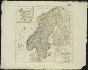
Charte von Schweden und Norwegen
1486.
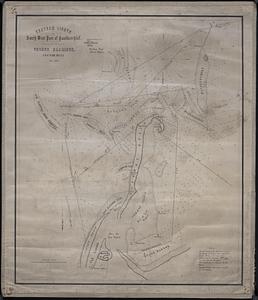
Chatham Lights to south west part of Handkerchief
1487.
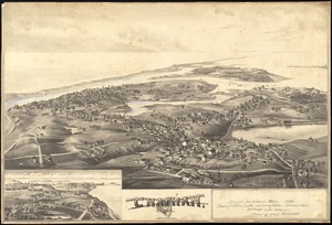
Chatham, Mass
1488.
Chester
1489.
Chester, Mass : 1885
1490.
The Chevron trail through the scenic west
1491.
[Chiapas]
1492.
Chicago
1493.
Chicago
1494.
Chicago, Burlington & Quincy R.R. and intersecting lines
1495.
Chicago motor coach pictorial map of Chicago
1496.
Chicago Terminal Transfer Railroad Co. map showing property of railroads in the business center of Chicago
1497.
Chickamauga and Chattanooga National Military Park and approaches
1498.
Chicopee River
1499.
[Chignecto Bay and vicinity]
1500.
Chikyū bankoku hōzu
‹ Prev
Next ›
1
2
…
71
72
73
74
75
76
77
78
79
…
431
432


![[Chiapas]](https://bpldcassets.blob.core.windows.net/derivatives/images/commonwealth:4m90fj278/image_thumbnail_300.jpg)


![[Chignecto Bay and vicinity]](https://bpldcassets.blob.core.windows.net/derivatives/images/commonwealth:9g54xk66m/image_thumbnail_300.jpg)
