Toggle navigation
LMEC Home
Exhibitions
Georeferencing
Tools for Teachers
Collections
My Favorites
Sign Up / Log In
Search
Search the map portal
Map Collection
Map Collection
Map Sets
Search
Search
Search for
Search In
All Fields
Creator
Title
Subject
Place
Search All Digital Collections
Advanced Search
8699 Results
My Search
Start Over
More Like
commonwealth:7h149v69k
Remove constraint More Like: commonwealth:7h149v69k
Filter your Search
Place
North and Central America
5,930
United States
4,844
Massachusetts
2,079
Europe
1,396
Suffolk (county)
1,046
Boston
1,019
Canada
453
Asia
438
more
Place
»
Topic
Boston (Mass.)--Maps
586
United States--Maps
282
Real property--Massachusetts--Boston--Maps
175
Massachusetts--Maps
162
Landowners--Massachusetts--Boston--Maps
133
North America--Maps--Early works to 1800
103
New England--Maps
102
Europe--Maps
79
more
Topic
»
Date
Date range begin
–
Date range end
Current results range from
1482
to
2023
View distribution
Creator
United States. Hydrographic Office
595
O.H. Bailey & Co
148
Des Barres, Joseph F. W. (Joseph Frederick Wallet), 1722-1824
122
United States. Post Office Dept
120
Ptolemy, 2nd cent
100
Walling, Henry Francis, 1825-1888
94
Geological Survey (U.S.)
86
Jefferys, Thomas, -1771
85
more
Creator
»
Format
Maps/Atlases
8,639
Manuscripts
215
Prints
56
Books
36
Objects/Artifacts
10
Drawings/Illustrations
8
Posters
5
Georeferenced
Yes
869
No
7,830
Collection
Norman B. Leventhal Map & Education Center Collection
8,694
Boston and New England Maps
2,233
Urban Maps
2,023
Maritime Charts and Atlases
1,082
American Revolutionary War-Era Maps
620
Boston Redevelopment Authority Collection
87
Library and Archives Canada Collection
4
Richard H. Brown Revolutionary War Map Collection at Mount Vernon
1
Available to use
No known restrictions
8,552
Creative Commons license
48
Search Constraints
Sort by relevance
relevance
title
date (asc)
date (desc)
Number of results to display per page
20 per page
10
per page
20
per page
50
per page
100
per page
View results as:
grid view
map view
Search Results
6181.
Plan of Fort Hill showing street improvements as adopted by the city council : 1869
6182.
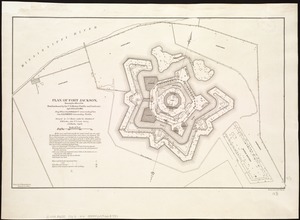
Plan of Fort Jackson, showing the effect of the bombardment by the U.S. mortar flotilla and gunboats, April 18th to 24th 1862 :...
6183.
Plan of Fort le Quesne, built by the French at the fork of the Ohio and Monongahela in 1754
6184.
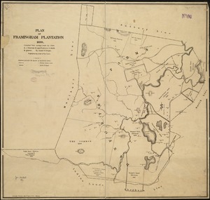
Plan of Framingham Plantation 1699
6185.
Plan of Gray's Wharf, to be sold at public auction, on the premises, on Thursday April 28th 1870 at 12 o'clock noon
6186.
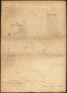
Plan of Gregory Farm in Weston
6187.
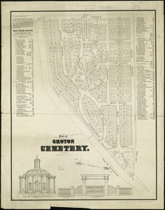
Plan of Groton Cemetery
6188.
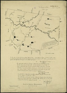
Plan of Groton, Massachusetts : as it was in 1794
6189.
Plan of Guantanimo, called by the English Cumberland Harbor ; Plan of the city and harbour of St. Jago de Cuba
6190.
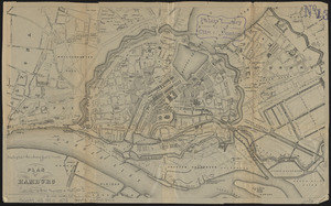
Plan of Hamburg
6191.
A plan of Hatfield
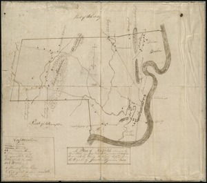
6192.
Plan of Hoosac Tunnel Dock and Elevator Company's docks and land in Charlestown, Mass.
6193.
Plan of house lots & other lands offered for sale by the Boston Water Power Company
6194.
Plan of house lots at Newton Corner near the residence of Dr. Hitchcock, lately belonging to W.S. Tuckerman
6195.
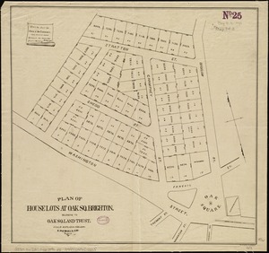
Plan of house lots at Oak Sq. Brighton : belonging to Oak Sq. Land Trust
6196.
[Plan of house lots for sale on Savin Hill Avenue, Dorchester, Mass.]
6197.
Plan of house lots in Boston belonging to Otis H. Weed
6198.
Plan of house lots in Braintree : to be sold at public auction on Saturday May 25th 1850 at 3 o'clock p.m. on the premises
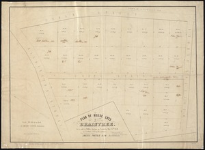
6199.
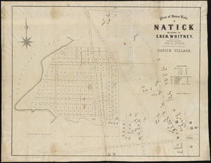
Plan of house lots in Natick belonging to Eben. Whitney : together with a part of Natick Village
6200.
Plan of house lots in the village of Brighton : upon a part of the well known Winship Estate ... to be sold by public auction...
‹ Prev
Next ›
1
2
…
306
307
308
309
310
311
312
313
314
…
434
435


![[Plan of house lots for sale on Savin Hill Avenue, Dorchester, Mass.]](https://bpldcassets.blob.core.windows.net/derivatives/images/commonwealth:9s161f68b/image_thumbnail_300.jpg)