Toggle navigation
LMEC Home
Exhibitions
Georeferencing
Tools for Teachers
Collections
My Favorites
Sign Up / Log In
Search
Search the map portal
Map Collection
Map Collection
Map Sets
Search
Search
Search for
Search In
All Fields
Creator
Title
Subject
Place
Search All Digital Collections
Advanced Search
9052 Results
My Search
Start Over
More Like
commonwealth:7d27c9549
Remove constraint More Like: commonwealth:7d27c9549
Filter your Search
Place
North and Central America
6,283
United States
5,201
Massachusetts
2,155
Suffolk (county)
1,403
Europe
1,396
Boston
1,376
Canada
449
Asia
438
more
Place
»
Topic
Boston (Mass.)--Maps
677
City planning--Massachusetts--Boston--Maps
418
United States--Maps
282
Urban renewal--Massachusetts--Boston--Maps
252
Real property--Massachusetts--Boston--Maps
217
Massachusetts--Maps
162
Landowners--Massachusetts--Boston--Maps
136
North America--Maps--Early works to 1800
103
more
Topic
»
Date
Date range begin
–
Date range end
Current results range from
1482
to
2023
View distribution
Creator
United States. Hydrographic Office
595
Boston Redevelopment Authority
390
O.H. Bailey & Co
148
Des Barres, Joseph F. W. (Joseph Frederick Wallet), 1722-1824
123
United States. Post Office Dept
120
Ptolemy, 2nd cent
100
Walling, Henry Francis, 1825-1888
94
Geological Survey (U.S.)
86
more
Creator
»
Format
Maps/Atlases
8,991
Manuscripts
215
Prints
56
Books
36
Objects/Artifacts
10
Drawings/Illustrations
9
Posters
5
Georeferenced
Yes
870
No
8,182
Collection
Norman B. Leventhal Map & Education Center Collection
8,696
Boston and New England Maps
2,586
Urban Maps
2,373
Maritime Charts and Atlases
1,083
American Revolutionary War-Era Maps
620
Boston Redevelopment Authority Collection
438
William L. Clements Library Collection
3
Mapping Boston Collection
2
more
Collection
»
Available to use
No known restrictions
8,904
Creative Commons license
49
Search Constraints
Sort by relevance
relevance
title
date (asc)
date (desc)
Number of results to display per page
20 per page
10
per page
20
per page
50
per page
100
per page
View results as:
grid view
map view
Search Results
2881.
German military maneuvers near Stettin from September 3 to September 14, 1900
2882.
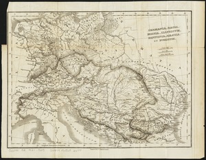
Germania, Dacia, Mœsia, Illyricum, Pannonia, Rhætia, et Noricum
2883.
Germany
2884.
Germany
2885.
Germany, concentration camps (June--1944)
2886.
Germany, main movements of freight traffic
2887.
Germany, main movements of freight traffic, 1942
2888.
Germany, postal administrative districts, March 1943
2889.
Germany, western border regions, agricultural areas (north of the Main and west of the Rhine Rivers)
2890.
Germany western border regions rail traffic volume (excluding inter-Ruhr traffic) summer 1939
2891.
Gesandtschaftsviertel in Peking
2892.
Gettysburg and vicinity : Constructed and engraved to illustrate "The war with the South"
2893.
Gezigt van Porto Grande, in 't eiland St. Vincent = Vüe de Porto Grande dans l'ile de St. Vincent
2894.
Ghent or Gand
2895.
Gilbertville, Worcester County, Massachusetts
2896.
Gillette's map of Livingston Co., New York : from actual surveys
2897.
Gillette's map of Madison Co., New York : from actual surveys
2898.
Gillette's map of Monroe Co., New York : from actual surveys
2899.
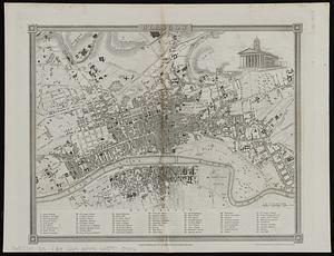
Glasgow
2900.
Glasgow
‹ Prev
Next ›
1
2
…
141
142
143
144
145
146
147
148
149
…
452
453