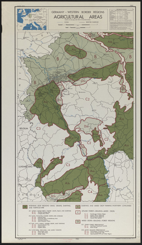
Germany, western border regions, agricultural areas (north of the Main and west of the Rhine Rivers)
Item Information
- Title:
- Germany, western border regions, agricultural areas (north of the Main and west of the Rhine Rivers)
- Cartographer:
- United States. Office of Strategic Services. Research and Analysis Branch
- Date:
-
1945
- Format:
-
Maps/Atlases
- Location:
-
Boston Public Library
Norman B. Leventhal Map & Education Center - Collection (local):
-
Norman B. Leventhal Map & Education Center Collection
- Subjects:
-
Agriculture--Germany--North Rhine-Westphalia--Maps
Agriculture--Germany--Rhineland-Palatinate--Maps
North Rhine-Westphalia (Germany)--Maps
Rhineland-Palatinate (Germany)--Maps
- Places:
-
GermanyNorth Rhine-Westphalia
GermanyRhineland Palatinate
- Extent:
- 1 map : color ; 66 x 35 cm
- Terms of Use:
-
No known copyright restrictions.
No known restrictions on use.
- Publisher:
-
[Washington, D.C.] :
R & A, OSS
- Scale:
-
Scale approximately 1:720,000
- Language:
-
English
- Notes:
-
Includes location map inset.
"No. 6285."
- Identifier:
-
06_01_014931
- Call #:
-
G6361.J1 1945 .U5
- Barcode:
-
39999065708701


