Toggle navigation
LMEC Home
Exhibitions
Georeferencing
Tools for Teachers
Collections
My Favorites
Sign Up / Log In
Search
Search the map portal
Map Collection
Map Collection
Map Sets
Search
Search
Search for
Search In
All Fields
Creator
Title
Subject
Place
Search All Digital Collections
Advanced Search
8741 Results
My Search
Start Over
More Like
commonwealth:6t053n89d
Remove constraint More Like: commonwealth:6t053n89d
Filter your Search
Place
North and Central America
5,961
United States
4,865
Massachusetts
2,080
Europe
1,396
Suffolk (county)
1,046
Boston
1,019
Canada
458
Asia
438
more
Place
»
Topic
Boston (Mass.)--Maps
586
United States--Maps
282
Real property--Massachusetts--Boston--Maps
175
Massachusetts--Maps
162
Landowners--Massachusetts--Boston--Maps
133
North America--Maps--Early works to 1800
117
New England--Maps
102
Europe--Maps
79
more
Topic
»
Date
Date range begin
–
Date range end
Current results range from
1482
to
2023
View distribution
Creator
United States. Hydrographic Office
595
O.H. Bailey & Co
148
Des Barres, Joseph F. W. (Joseph Frederick Wallet), 1722-1824
123
United States. Post Office Dept
120
Ptolemy, 2nd cent
100
Walling, Henry Francis, 1825-1888
94
Geological Survey (U.S.)
86
Jefferys, Thomas, -1771
86
more
Creator
»
Format
Maps/Atlases
8,681
Manuscripts
216
Prints
56
Books
36
Objects/Artifacts
10
Drawings/Illustrations
8
Posters
5
Georeferenced
Yes
870
No
7,871
Collection
Norman B. Leventhal Map & Education Center Collection
8,701
Boston and New England Maps
2,233
Urban Maps
2,023
Maritime Charts and Atlases
1,086
American Revolutionary War-Era Maps
655
Boston Redevelopment Authority Collection
87
New York Public Library Collection
21
MacLean Collection Map Library
12
more
Collection
»
Available to use
No known restrictions
8,554
Creative Commons license
78
Search Constraints
Sort by relevance
relevance
title
date (asc)
date (desc)
Number of results to display per page
20 per page
10
per page
20
per page
50
per page
100
per page
View results as:
grid view
map view
Search Results
7241.
Saginaw Bay and part of Lake Huron
7242.
Saishin ōshū daichizu
7243.
Salem Depot, N.H : 1887
7244.
Salopiensis comitatus cum Staffordiensi : Shrop Shire & Staffordshire
7245.
Samoan Group--Tutuila Id.
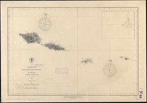
7246.
Samoan or Navigator Islands
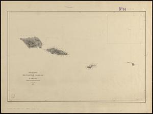
7247.
Samoan or Navigator Islands
7248.
Samuel Thaxter & Son, manufacturers and importers of nautical and optical instruments, charts and nautical books; publishers of...
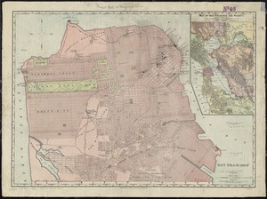
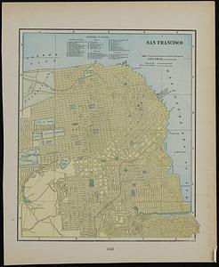
7249.
San Francisco
7250.
San Francisco ; Mexico
7251.
San Juan National Forest, Colorado
7252.
Sandwich Bay ... low water
7253.
Sandwich Village, Barnstable County, Mass., looking west
7254.
Sandy-Bay, Mass
7255.
Sanford, Maine : looking east
7256.
Santa Barbara National Forest, California (Monterey Division)
7257.
Santiam National Forest, Oregon
7258.
Saratoga Springs and vicinity : scene of the inter-collegiate regatta : [see page 626]
7259.
Saskatchewan
7260.
Saskatchewan : map showing disposition of lands
‹ Prev
Next ›
1
2
…
359
360
361
362
363
364
365
366
367
…
437
438