Toggle navigation
LMEC Home
Exhibitions
Georeferencing
Tools for Teachers
Collections
My Favorites
Sign Up / Log In
Search
Search the map portal
Map Collection
Map Collection
Map Sets
Search
Search
Search for
Search In
All Fields
Creator
Title
Subject
Place
Search All Digital Collections
Advanced Search
8730 Results
My Search
Start Over
More Like
commonwealth:6h446w998
Remove constraint More Like: commonwealth:6h446w998
Filter your Search
Place
North and Central America
5,969
United States
4,887
Massachusetts
2,079
Europe
1,392
Suffolk (county)
1,122
Boston
1,095
Canada
449
Asia
437
more
Place
»
Topic
Boston (Mass.)--Maps
603
United States--Maps
279
Real property--Massachusetts--Boston--Maps
254
Landowners--Massachusetts--Boston--Maps
170
Massachusetts--Maps
162
City planning--Massachusetts--Boston--Maps
109
North America--Maps--Early works to 1800
103
New England--Maps
101
more
Topic
»
Date
Date range begin
–
Date range end
Current results range from
1482
to
2023
View distribution
Creator
United States. Hydrographic Office
595
O.H. Bailey & Co
148
Des Barres, Joseph F. W. (Joseph Frederick Wallet), 1722-1824
123
United States. Post Office Dept
120
Boston Redevelopment Authority
111
Ptolemy, 2nd cent
100
Walling, Henry Francis, 1825-1888
94
Geological Survey (U.S.)
87
more
Creator
»
Format
Maps/Atlases
8,670
Manuscripts
215
Prints
56
Books
36
Objects/Artifacts
10
Drawings/Illustrations
8
Posters
5
Georeferenced
Yes
869
No
7,861
Collection
Norman B. Leventhal Map & Education Center Collection
8,649
Boston and New England Maps
2,267
Urban Maps
2,038
Maritime Charts and Atlases
1,083
American Revolutionary War-Era Maps
615
Boston Redevelopment Authority Collection
132
Massachusetts Real Estate Atlases
36
Applied Geographics, Inc. Records
1
Available to use
No known restrictions
8,552
Creative Commons license
47
Search Constraints
Sort by relevance
relevance
title
date (asc)
date (desc)
Number of results to display per page
20 per page
10
per page
20
per page
50
per page
100
per page
View results as:
grid view
map view
Search Results
7701.
State of Louisiana
7702.
State of Louisiana, highlighting low-lying areas derived from USGS digital elevation data
7703.
State of Maine
7704.
State of Maine
7705.
The state of Maryland, from the best authorities
7706.
The state of Massachusetts : compiled from the best authorities
7707.
The state of Massachusetts from the best information
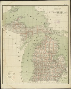
7708.
State of Michigan
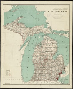
7709.
State of Michigan
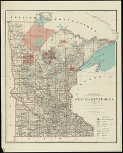
7710.
State of Minnesota
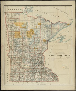
7711.
State of Minnesota
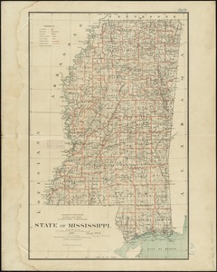
7712.
State of Mississippi
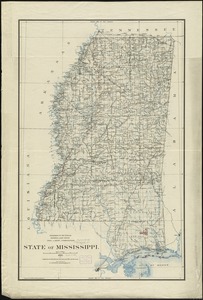
7713.
State of Mississippi
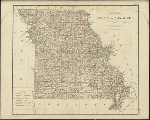
7714.
State of Missouri
7715.
State of Missouri
7716.
State of Missouri
7717.
State of Nebraska
7718.
State of Nebraska
7719.
State of Nevada
7720.
The state of New Hampshire
‹ Prev
Next ›
1
2
…
382
383
384
385
386
387
388
389
390
…
436
437