Toggle navigation
LMEC Home
Exhibitions
Georeferencing
Tools for Teachers
Collections
My Favorites
Sign Up / Log In
Search
Search the map portal
Map Collection
Map Collection
Map Sets
Search
Search
Search for
Search In
All Fields
Creator
Title
Subject
Place
Search All Digital Collections
Advanced Search
8789 Results
My Search
Start Over
More Like
commonwealth:6h446t28w
Remove constraint More Like: commonwealth:6h446t28w
Filter your Search
Place
North and Central America
6,020
United States
4,938
Massachusetts
2,089
Europe
1,396
Suffolk (county)
1,140
Boston
1,113
Canada
449
Asia
438
more
Place
»
Topic
Boston (Mass.)--Maps
606
United States--Maps
282
Real property--Massachusetts--Boston--Maps
254
Landowners--Massachusetts--Boston--Maps
170
Massachusetts--Maps
162
City planning--Massachusetts--Boston--Maps
123
North America--Maps--Early works to 1800
103
New England--Maps
102
more
Topic
»
Date
Date range begin
–
Date range end
Current results range from
1482
to
2023
View distribution
Creator
United States. Hydrographic Office
595
O.H. Bailey & Co
148
Boston Redevelopment Authority
126
Des Barres, Joseph F. W. (Joseph Frederick Wallet), 1722-1824
123
United States. Post Office Dept
120
Ptolemy, 2nd cent
100
Walling, Henry Francis, 1825-1888
94
Geological Survey (U.S.)
86
more
Creator
»
Format
Maps/Atlases
8,729
Manuscripts
215
Prints
56
Books
36
Objects/Artifacts
10
Drawings/Illustrations
8
Posters
5
Georeferenced
Yes
869
No
7,920
Collection
Norman B. Leventhal Map & Education Center Collection
8,696
Boston and New England Maps
2,292
Urban Maps
2,082
Maritime Charts and Atlases
1,083
American Revolutionary War-Era Maps
616
Boston Redevelopment Authority Collection
145
Massachusetts Real Estate Atlases
35
Applied Geographics, Inc. Records
1
Available to use
No known restrictions
8,612
Creative Commons license
47
Search Constraints
Sort by relevance
relevance
title
date (asc)
date (desc)
Number of results to display per page
20 per page
10
per page
20
per page
50
per page
100
per page
View results as:
grid view
map view
Search Results
5481.
Newfoundland--south coast, the Burgeo Islands : from British surveys in 1872 ; republication of Brit. Admty. chart no. 272
5482.
New-Hampshire : from late survey
5483.
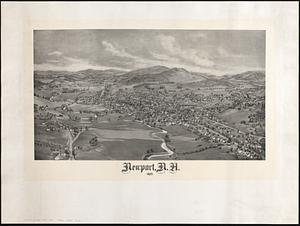
Newport, N.H. 1895
5484.
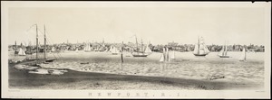
Newport, Rhode Island
5485.
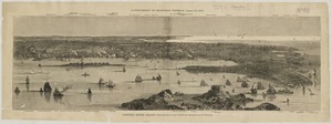
Newport, R.I : view from Fort Wolcott, Goat Island
5486.
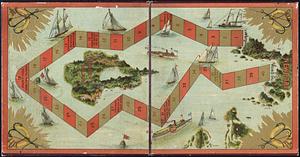
The Newport yacht race : an exciting game
5487.
Newsmap : week of October 14 to October 21, 215th week of the war, 97th week of U.S. participation. Monday, October 25, 1943
5488.
Newsmap : week of December 16 to December 22, 224th week of the war, 106th week of U.S. Participation. Monday, December 27, 1943
5489.
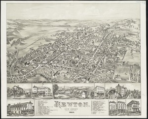
Newton : New Jersey
5490.
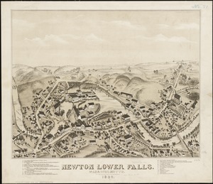
Newton Lower Falls, Massachusetts : 1880
5491.
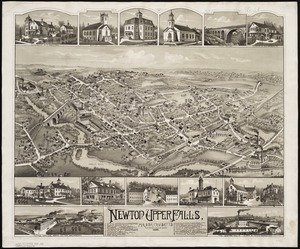
Newton Upper Falls, Massachusetts, 1888
5492.
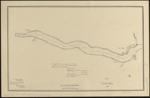
Niagara 1819
5493.
Niagara Falls : from surveys executed under the orders of Major C.B. Comstock, Corps of Engineers, Brvt. Brigadier General...
5494.
Niagara Falls and Niagara River from Lake Erie down to Lake Ontario
5495.
Nicaragua
5496.
Nicaragua
5497.
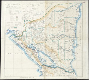
Nicaragua
5498.
The Nicolls map, 1664-1668
5499.
Nieuwe Afteekening van het Eyland Curacao vertoonende alle desselfs geleegentheeden mitsgaders de haven van St. Anna en't Fort...
5500.
Nieuwe en aldereerste afteekening van 't eyland St. Thomas : met alle desselfs havenen, anker plaatse en geleegentheden is...
‹ Prev
Next ›
1
2
…
271
272
273
274
275
276
277
278
279
…
439
440