Toggle navigation
LMEC Home
Exhibitions
Georeferencing
Tools for Teachers
Collections
My Favorites
Sign Up / Log In
Search
Search the map portal
Map Collection
Map Collection
Map Sets
Search
Search
Search for
Search In
All Fields
Creator
Title
Subject
Place
Search All Digital Collections
Advanced Search
8797 Results
My Search
Start Over
More Like
commonwealth:6h446r942
Remove constraint More Like: commonwealth:6h446r942
Filter your Search
Place
North and Central America
6,028
United States
4,946
Massachusetts
2,091
Europe
1,396
Suffolk (county)
1,148
Boston
1,121
Canada
449
Asia
438
more
Place
»
Topic
Boston (Mass.)--Maps
607
United States--Maps
282
Real property--Massachusetts--Boston--Maps
254
Landowners--Massachusetts--Boston--Maps
170
Massachusetts--Maps
162
City planning--Massachusetts--Boston--Maps
128
North America--Maps--Early works to 1800
103
New England--Maps
102
more
Topic
»
Date
Date range begin
–
Date range end
Current results range from
1482
to
2023
View distribution
Creator
United States. Hydrographic Office
595
O.H. Bailey & Co
148
Boston Redevelopment Authority
131
Des Barres, Joseph F. W. (Joseph Frederick Wallet), 1722-1824
123
United States. Post Office Dept
120
Ptolemy, 2nd cent
100
Walling, Henry Francis, 1825-1888
94
Geological Survey (U.S.)
86
more
Creator
»
Format
Maps/Atlases
8,737
Manuscripts
215
Prints
56
Books
36
Objects/Artifacts
10
Drawings/Illustrations
8
Posters
5
Georeferenced
Yes
870
No
7,927
Collection
Norman B. Leventhal Map & Education Center Collection
8,698
Boston and New England Maps
2,300
Urban Maps
2,089
Maritime Charts and Atlases
1,083
American Revolutionary War-Era Maps
616
Boston Redevelopment Authority Collection
151
Massachusetts Real Estate Atlases
35
Applied Geographics, Inc. Records
2
more
Collection
»
Available to use
No known restrictions
8,619
Creative Commons license
48
Search Constraints
Sort by relevance
relevance
title
date (asc)
date (desc)
Number of results to display per page
20 per page
10
per page
20
per page
50
per page
100
per page
View results as:
grid view
map view
Search Results
4241.
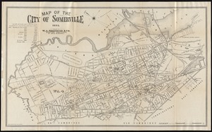
Map of the city of Somerville 1895
4242.
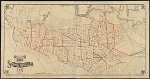
Map of the city of Somerville, 1907
4243.
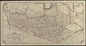
Map of the city of Somerville 1927
4244.
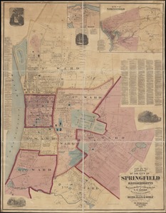
Map of the city of Springfield Massachusetts
4245.
Map of the city of St. Anthony ; map of Minneapolis ; map of St. Anthony
4246.
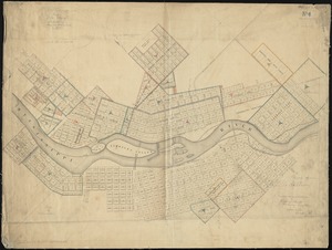
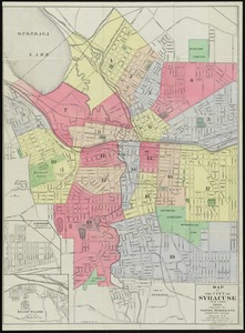
Map of the City of Syracuse, New York
4247.
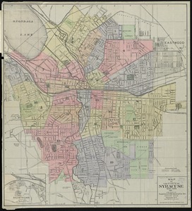
Map of the City of Syracuse, New York
4248.
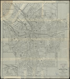
Map of the City of Syracuse, New York
4249.
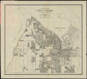
Map of the city of Tacoma & vicinity, Washington
4250.
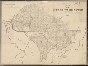
Map of the city of Washington
4251.
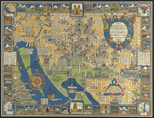
Map of the city of Washington in the District of Columbia shewing the architectvre and history from the most ancient times down...
4252.
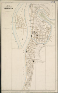
Map of the city of Wheeling, West Virginia
4253.
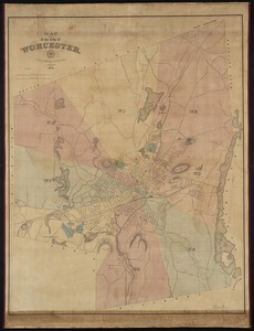
Map of the city of Worcester
4254.
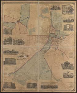
Map of the city of Worcester, Mass.
4255.
Map of the city of Worcester, Mass
4256.
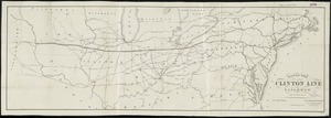
Map of the Clinton Line Railroad and its connections
4257.
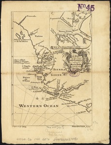
A map of the coast and country about Sierra Lione and Sherbro River
4258.
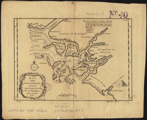
Map of the coast and islands between Cape Roxo and the Isle of Tassagan
4259.
A map of the colonies of Connecticut and Rhode Island, divided into counties & townships, from the best authorities
4260.
A map of the colony of Rhode Island : with the adjacent parts of Connecticut, Massachusetts Bay, &c
‹ Prev
Next ›
1
2
…
209
210
211
212
213
214
215
216
217
…
439
440