Toggle navigation
LMEC Home
Exhibitions
Georeferencing
Tools for Teachers
Collections
My Favorites
Sign Up / Log In
Search
Search the map portal
Map Collection
Map Collection
Map Sets
Search
Search
Search for
Search In
All Fields
Creator
Title
Subject
Place
Search All Digital Collections
Advanced Search
79 Results
My Search
Start Over
More Like
commonwealth:6395x786q
Remove constraint More Like: commonwealth:6395x786q
Filter your Search
Place
North and Central America
65
United States
63
New York
40
Europe
6
Erie (county)
5
Lower Bay
5
New Jersey
5
Upper Bay
5
more
Place
»
Topic
Navigation
8
Coastlines
5
Harbors
5
Rivers
2
Streets
2
1706
1
Atlantic Coast (U.S.)
1
Buildings
1
more
Topic
»
Date
Date range begin
–
Date range end
Current results range from
1540
to
2005
View distribution
Creator
Cram, George Franklin, 1841-1928
11
Rand McNally and Company
7
Matthews-Northrup Company
5
Smith, Benjamin E. (Benjamin Eli), 1857-1913
5
Bache, A. D. (Alexander Dallas), 1806-1867
4
Mitchell, S. Augustus (Samuel Augustus), 1792-1868
4
Faden, William, 1749-1836
3
Johnson, A. J. (Alvin Jewett), 1827-1884
3
more
Creator
»
Format
Maps/Atlases
77
Books
1
Prints
1
Georeferenced
No
79
Collection
Robert E. Diefenbach Map Collection at Phillips Academy
75
Ralph Finos Map Collection at Phillips Academy
2
American Revolutionary War-Era Maps
1
Norman B. Leventhal Map & Education Center Collection
1
Richard H. Brown Revolutionary War Map Collection at Mount Vernon
1
Available to use
No known restrictions
75
Creative Commons license
4
Search Constraints
Sort by relevance
relevance
title
date (asc)
date (desc)
Number of results to display per page
20 per page
10
per page
20
per page
50
per page
100
per page
View results as:
grid view
map view
Search Results
61.
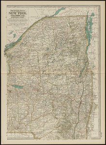
New York, eastern part
62.
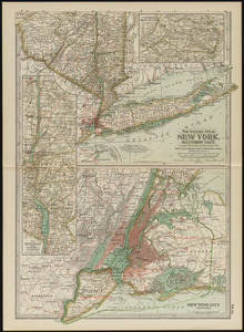
New York, southern part
63.
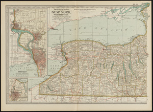
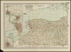
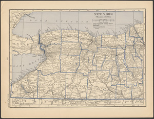
New York, western part
64.
New York, western part
65.
New York (western section)
66.
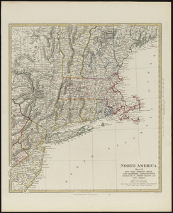
North America, sheet VI, New-York, Vermont, Maine, New-Hampshire, Massachusetts, Connecticut, Rhode-Island, and New-Jersey
67.
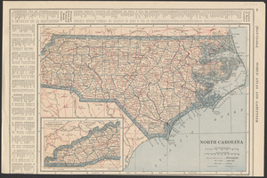
North Carolina
68.
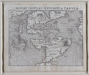
Novae insulae, XVII, nova tabula
69.
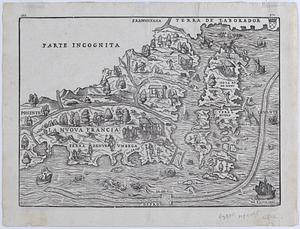
La Nuova Francia
70.
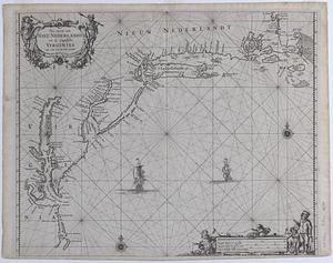
Pas caerte van Nieu Nederlandt en de Engelsche Virginies van Cabo Cod tot Cabo Canrick
71.
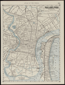
Philadelphia
72.
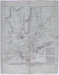
A plan of New York Island, with part of Long Island, Staten Island, & East New York : with a particular description of the...
73.
Plan of the country from Frogs Point to Croton River shewing the positions of the American & British armies from the 12th of...
74.
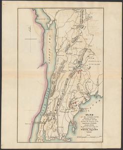
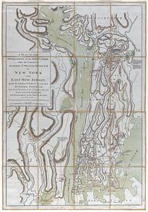
A plan of the operations of the king's army under the command of General Sr. William Howe, K.B. in New York and East New...
75.
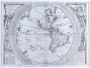
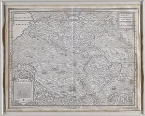
Planisfero del mondo nuovo
76.
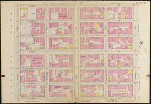
Plate 30, Part of Section 5
77.
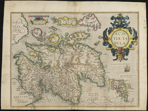
Scotia tabula
78.
Septentrion, quarte partie du monde
79.
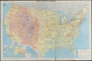
The United States
‹ Prev
Next ›
1
2
3
4