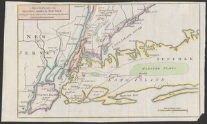
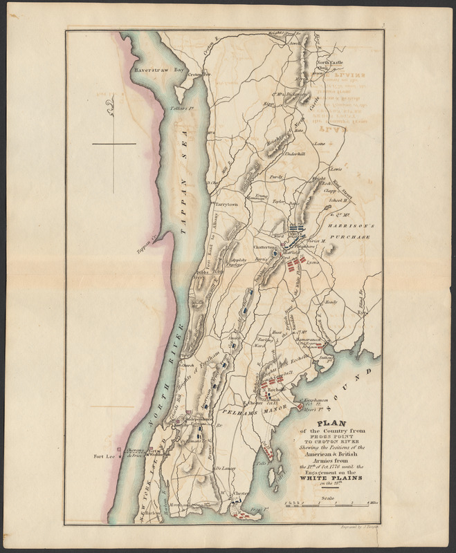
Plan of the country from Frogs Point to Croton River shewing the positions of the American & British armies from the 12th of Oct. 1776 until the engagement on the White Plains on the 28th
Item Information
- Title:
- Plan of the country from Frogs Point to Croton River shewing the positions of the American & British armies from the 12th of Oct. 1776 until the engagement on the White Plains on the 28th
- Engraver:
- Yeager, Joseph, approximately 1792-1859
- Name on Item:
-
Engraved by J. Yeager
- Date:
-
1832
- Format:
-
Maps/Atlases
- Location:
-
Phillips Academy
Archives and Special Collections - Collection (local):
-
Robert E. Diefenbach Map Collection
- Subjects:
-
Campaigns & battles
War
United States--History--Revolution, 1775-1783
- Places:
-
New York
- Extent:
- 1 map : col. ; 25 x 16 cm
- Terms of Use:
-
We believe that this item has no known US copyright restrictions. Though not required, if you want to credit us as the source, please use the following statement, "From The Trustees of Phillips Academy." Doing so helps us track how our collection is used and helps justify freely releasing even more content in the future.
This work is in the public domain under a Creative Commons No Rights Reserved License (CC0).
- Publisher:
-
Philadelphia :
J. Crissy
- Scale:
-
Scale ca. 1:202,752
- Language:
-
English
- Notes:
-
Title from item.
From Atlas to Marshall's life of Washington
- Notes (date):
-
Date supplied by cataloger.
- Identifier:
-
2018_025