Toggle navigation
LMEC Home
Exhibitions
Georeferencing
Tools for Teachers
Collections
My Favorites
Sign Up / Log In
Search
Search the map portal
Map Collection
Map Collection
Map Sets
Search
Search
Search for
Search In
All Fields
Creator
Title
Subject
Place
Search All Digital Collections
Advanced Search
8694 Results
My Search
Start Over
More Like
commonwealth:4m90fp41x
Remove constraint More Like: commonwealth:4m90fp41x
Filter your Search
Place
North and Central America
5,926
United States
4,844
Massachusetts
2,079
Europe
1,395
Suffolk (county)
1,046
Boston
1,019
Canada
449
Asia
438
more
Place
»
Topic
Boston (Mass.)--Maps
586
United States--Maps
282
Real property--Massachusetts--Boston--Maps
175
Massachusetts--Maps
162
Landowners--Massachusetts--Boston--Maps
133
North America--Maps--Early works to 1800
103
New England--Maps
102
Europe--Maps
79
more
Topic
»
Date
Date range begin
–
Date range end
Current results range from
1482
to
2023
View distribution
Creator
United States. Hydrographic Office
595
O.H. Bailey & Co
148
Des Barres, Joseph F. W. (Joseph Frederick Wallet), 1722-1824
123
United States. Post Office Dept
120
Ptolemy, 2nd cent
100
Walling, Henry Francis, 1825-1888
94
Geological Survey (U.S.)
86
Jefferys, Thomas, -1771
85
more
Creator
»
Format
Maps/Atlases
8,634
Manuscripts
215
Prints
56
Books
36
Objects/Artifacts
10
Drawings/Illustrations
8
Posters
5
Georeferenced
Yes
869
No
7,825
Collection
Norman B. Leventhal Map & Education Center Collection
8,694
Boston and New England Maps
2,233
Urban Maps
2,023
Maritime Charts and Atlases
1,083
American Revolutionary War-Era Maps
616
Boston Redevelopment Authority Collection
87
Available to use
No known restrictions
8,552
Creative Commons license
47
Search Constraints
Sort by relevance
relevance
title
date (asc)
date (desc)
Number of results to display per page
20 per page
10
per page
20
per page
50
per page
100
per page
View results as:
grid view
map view
Search Results
1861.
The counties of Southern California
1862.
The countries of the Caribbean : including Mexico, Central America, the West Indies and the Panama Canal
1863.
The country around Herat : projected from Major Holditch's map
1864.
The country of So red the rose, by Stark Young, Scribners
1865.
The country round Washington : the Chesapeake and the Potomac
1866.
County atlas of Berkshire Massachusetts
1867.
County atlas of Hampshire, Massachusetts : from actual surveys
1868.
County atlas of Middlesex, Massachusetts : from actual surveys
1869.
County map of Boone, McHenry, Lake, De Kalb, Kane, Du Page, Cook, Kendall, Grundy, Will, and Kankakee
1870.
The County of Essex from actual survey
1871.
The County of Kerry
1872.
County of Ohio, West Virginia
1873.
Course of canal to Charlestown Millpond
1874.
Course of cholera in Boston in 1849
1875.
The course of Delaware River from Philadelphia to Chester, exhibiting the several works erected by the rebels to defend its...
1876.
Course of the river Mississipi, from the Balise to Fort Chartres : taken on an expedition to the Illinois, in the latter end of...
1877.
Crawford County, Wis.
1878.
Crawfordsville, Ind : 1871
1879.
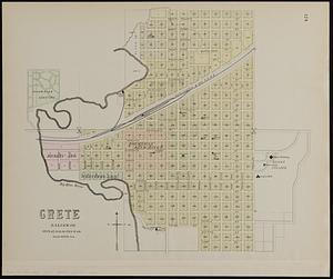
Crete, Saline Co
1880.
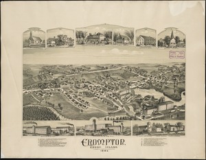
Crompton, Rhode Island : 1889
‹ Prev
Next ›
1
2
…
90
91
92
93
94
95
96
97
98
…
434
435