Toggle navigation
LMEC Home
Exhibitions
Georeferencing
Tools for Teachers
Collections
My Favorites
Sign Up / Log In
Search
Search the map portal
Map Collection
Map Collection
Map Sets
Search
Search
Search for
Search In
All Fields
Creator
Title
Subject
Place
Search All Digital Collections
Advanced Search
8717 Results
My Search
Start Over
More Like
commonwealth:4m90ff30z
Remove constraint More Like: commonwealth:4m90ff30z
Filter your Search
Place
North and Central America
5,948
United States
4,861
Massachusetts
2,079
Europe
1,396
Suffolk (county)
1,046
Boston
1,019
Canada
470
Asia
438
more
Place
»
Topic
Boston (Mass.)--Maps
586
United States--Maps
294
Real property--Massachusetts--Boston--Maps
175
Massachusetts--Maps
162
Landowners--Massachusetts--Boston--Maps
133
New England--Maps
107
North America--Maps--Early works to 1800
103
Europe--Maps
79
more
Topic
»
Date
Date range begin
–
Date range end
Current results range from
1482
to
2023
View distribution
Creator
United States. Hydrographic Office
595
O.H. Bailey & Co
148
Des Barres, Joseph F. W. (Joseph Frederick Wallet), 1722-1824
123
United States. Post Office Dept
120
Ptolemy, 2nd cent
100
Walling, Henry Francis, 1825-1888
94
Geological Survey (U.S.)
86
Jefferys, Thomas, -1771
85
more
Creator
»
Format
Maps/Atlases
8,657
Manuscripts
215
Prints
56
Books
36
Objects/Artifacts
10
Drawings/Illustrations
8
Posters
5
Georeferenced
Yes
868
No
7,849
Collection
Norman B. Leventhal Map & Education Center Collection
8,694
Boston and New England Maps
2,233
Urban Maps
2,023
Maritime Charts and Atlases
1,083
American Revolutionary War-Era Maps
639
Boston Redevelopment Authority Collection
87
Maps from AAS
14
William L. Clements Library Collection
9
Available to use
No known restrictions
8,552
Creative Commons license
47
Search Constraints
Sort by relevance
relevance
title
date (asc)
date (desc)
Number of results to display per page
20 per page
10
per page
20
per page
50
per page
100
per page
View results as:
grid view
map view
Search Results
1.
Arctic America : eastern sheet
2.
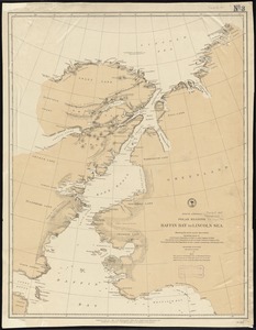
North America polar regions : Baffin Bay to Lincoln Sea, showing the most recent discoveries including those of U.S.S. Polaris...
3.
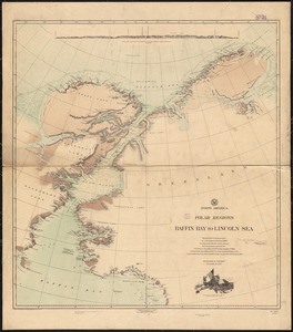
North America, polar regions, Baffin Bay to Lincoln Sea : showing the recent discoveries by civil engineer R.E. Peary, U.S.N.,...
4.
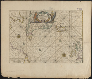
Pas caerte van Groenland, Ysland, Straet Davids en Ian Mayen eyland hoemen de selvige van Hitland en de noort kusten van...
5.
Aboriginal map of North America, denoting the boundaries and the locations of various Indian tribes
6.
British America, comprehending Canada, Labrador, New-Foundland, Nova Scotia &c
7.
British possessions in North America
8.
The British possessions in North America from the best authorities
9.
The British possessions in North America from the best authorities
10.
Canada and Nova Scotia
11.
Canada and Nova Scotia
12.
Carte de la Nouvelle-France, augmentée depuis la derniere, servant a la navigation faicte en son vray Meridien par le Sr. de...
13.
Coal areas of Canada
14.
Dawson's map of the Dominion of Canada
15.
Dinsmore's complete map of the railroads & canals in the United States & Canada
16.
Dinsmore's new railroad map of the United States and the Canadas, showing all the railroads completed and in progress,...
17.
The Dominion of Canada from the latest surveys and data
18.
E.P. Dutton & Co.'s railroad, steam boat & stage route map of New England, New-York and Canada
19.
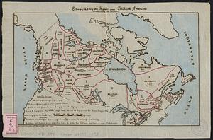
Ethnographische karte von Britisch America : verbreitung der indianer
20.
General railway map engraved expressly for the Official guide of the railways and steam navigation lines of the United States,...
‹ Prev
Next ›
1
2
3
4
5
…
435
436