Toggle navigation
LMEC Home
Exhibitions
Georeferencing
Tools for Teachers
Collections
My Favorites
Sign Up / Log In
Search
Search the map portal
Map Collection
Map Collection
Map Sets
Search
Search
Search for
Search In
All Fields
Creator
Title
Subject
Place
Search All Digital Collections
Advanced Search
8697 Results
My Search
Start Over
More Like
commonwealth:4m90f6764
Remove constraint More Like: commonwealth:4m90f6764
Filter your Search
Place
North and Central America
5,928
United States
4,846
Massachusetts
2,079
Europe
1,396
Suffolk (county)
1,046
Boston
1,019
Canada
449
Asia
438
more
Place
»
Topic
Boston (Mass.)--Maps
586
United States--Maps
282
Real property--Massachusetts--Boston--Maps
175
Massachusetts--Maps
162
Landowners--Massachusetts--Boston--Maps
133
North America--Maps--Early works to 1800
103
New England--Maps
102
Europe--Maps
79
more
Topic
»
Date
Date range begin
–
Date range end
Current results range from
1482
to
2023
View distribution
Creator
United States. Hydrographic Office
595
O.H. Bailey & Co
148
Des Barres, Joseph F. W. (Joseph Frederick Wallet), 1722-1824
123
United States. Post Office Dept
120
Ptolemy, 2nd cent
100
Walling, Henry Francis, 1825-1888
94
Geological Survey (U.S.)
86
Jefferys, Thomas, -1771
85
more
Creator
»
Format
Maps/Atlases
8,637
Manuscripts
215
Prints
56
Books
36
Objects/Artifacts
10
Drawings/Illustrations
8
Posters
5
Georeferenced
Yes
869
No
7,828
Collection
Norman B. Leventhal Map & Education Center Collection
8,694
Boston and New England Maps
2,233
Urban Maps
2,023
Maritime Charts and Atlases
1,083
American Revolutionary War-Era Maps
619
Boston Redevelopment Authority Collection
87
William L. Clements Library Collection
3
Available to use
No known restrictions
8,552
Creative Commons license
47
Search Constraints
Sort by relevance
relevance
title
date (asc)
date (desc)
Number of results to display per page
20 per page
10
per page
20
per page
50
per page
100
per page
View results as:
grid view
map view
Search Results
4481.
[Map of the world on a polyconic projection]
4482.
Map of the world, on Mercator's projection
4483.
Map of the world on Mercator's projection, to show the populations and actual areas occupied by the various states represented...
4484.
Map of the world, shewing the tracks & discoveries of Captn. Cook
4485.
A map of the Yearly Meeting of Friends for New England : 1850
4486.
A map of the yearly meeting of Friends for New England A.D. 1833
4487.
Map of the Yellowstone and Missouri Rivers and their tributaries : explored by Capt. W.F. Raynolds, Topl. Engrs., and 1st...
4488.
Map of the Yosemite Valley
4489.
Map of the Yosemite Valley : from surveys made by order of the Commissioners to manage the Yosemite Valley and Mariposa Big...
4490.
Map of the Yougoslav countries
4491.
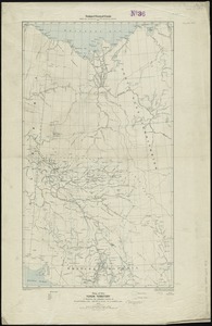
Map of the Yukon Territory to illustrate the summary reports of R.G. McConnell, B.A., Jos. Keele, B.A., and C. Camsell, B.A
4492.
A map of those countries in which the apostles travelled : in propagating Christianity
4493.
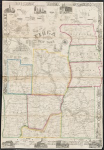
Map of Tioga County, New York : from actual surveys
4494.
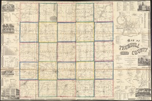
Map of Trumbull County, Ohio
4495.
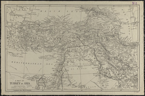
A map of Turkey in Asia
4496.
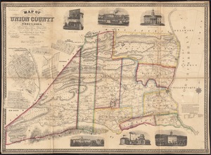
Map of Union County, Pennsylvania : entirely from original surveys
4497.
A map of Upper and Lower Canada : with part of the United States adjoining, comprising the present seat of war
4498.
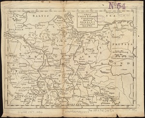
A map of Upper Saxony comprehending that part of Germany which is the present seat of war
4499.
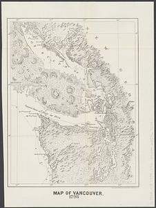
Map of Vancouver : 1798
4500.
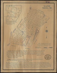
Map of Vienna, Me
‹ Prev
Next ›
1
2
…
221
222
223
224
225
226
227
228
229
…
434
435
![[Map of the world on a polyconic projection]](https://bpldcassets.blob.core.windows.net/derivatives/images/commonwealth:x633f979b/image_thumbnail_300.jpg)