Toggle navigation
LMEC Home
Exhibitions
Georeferencing
Tools for Teachers
Collections
My Favorites
Sign Up / Log In
Search
Search the map portal
Map Collection
Map Collection
Map Sets
Search
Search
Search for
Search In
All Fields
Creator
Title
Subject
Place
Search All Digital Collections
Advanced Search
8698 Results
My Search
Start Over
More Like
commonwealth:4m90f401n
Remove constraint More Like: commonwealth:4m90f401n
Filter your Search
Place
North and Central America
5,926
United States
4,843
Massachusetts
2,078
Europe
1,396
Suffolk (county)
1,045
Boston
1,018
Canada
449
Asia
438
more
Place
»
Topic
Boston (Mass.)--Maps
586
United States--Maps
282
Real property--Massachusetts--Boston--Maps
175
Massachusetts--Maps
162
Landowners--Massachusetts--Boston--Maps
133
North America--Maps--Early works to 1800
103
New England--Maps
102
Europe--Maps
79
more
Topic
»
Date
Date range begin
–
Date range end
Current results range from
1482
to
2023
View distribution
Creator
United States. Hydrographic Office
595
O.H. Bailey & Co
148
Des Barres, Joseph F. W. (Joseph Frederick Wallet), 1722-1824
123
United States. Post Office Dept
120
Ptolemy, 2nd cent
100
Walling, Henry Francis, 1825-1888
94
Geological Survey (U.S.)
86
Jefferys, Thomas, -1771
85
more
Creator
»
Format
Maps/Atlases
8,638
Manuscripts
215
Prints
56
Books
36
Objects/Artifacts
10
Drawings/Illustrations
8
Posters
5
Georeferenced
Yes
870
No
7,828
Collection
Norman B. Leventhal Map & Education Center Collection
8,693
Boston and New England Maps
2,232
Urban Maps
2,023
Maritime Charts and Atlases
1,083
American Revolutionary War-Era Maps
619
Boston Redevelopment Authority Collection
87
American Antiquarian Society Collection
4
MacLean Collection Map Library
1
Available to use
No known restrictions
8,551
Creative Commons license
47
Search Constraints
Sort by relevance
relevance
title
date (asc)
date (desc)
Number of results to display per page
20 per page
10
per page
20
per page
50
per page
100
per page
View results as:
grid view
map view
Search Results
8381.
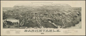
Village of Barnstable, seat of Barnstable County, Mass : 1884
8382.
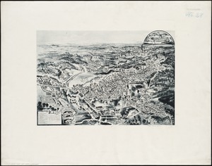
Village of Kingston, Plymouth County, Mass : 1885
8383.
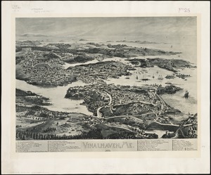
Vinalhaven, Me : 1893
8384.
Vineyard Haven, Dukes County, Martha's Vineyard, Massachusetts : the popular seaside summer resort
8385.
Vineyard Sound and Buzzards Bay, Massachusetts
8386.
Virginia
8387.
Virginia
8388.
Virginia
8389.
Virginia and Maryland
8390.
Virginia, Maryland, Pennsilvania, east & west New Jarsey
8391.
Virginia Marylandia et Carolina in America septentrionali Brittannorum industria excultæ
8392.
Virginiae item et Floridae Americae provincarum, nova descriptio
8393.
Virginiae item et Floridae Americae provinciarum, nova descriptio
8394.
Virginiae partis australis, et Floridae partis orientalis, interjacentiumq[ue] regionum nova descriptio
8395.
Virginiae partis australis et Floridae partis orientalis, interjacentium[que] regionum nova descriptio
8396.
A vision of Private Kutschkes of the German National Guard = Traumgebild des deutschen Landwehrmanns Kutschke!
8397.
Vltoniae orientalis : pars
8398.
Vmbria overo ducato di Spoleto
8399.
Völker und sprachen-karte von Deutschland und den nachbarländern im j. 1867
8400.
Volunteer militia and eastern army guide : One hundred and fifty miles around Richmond
‹ Prev
Next ›
1
2
…
416
417
418
419
420
421
422
423
424
…
434
435


![Virginiae partis australis, et Floridae partis orientalis, interjacentiumq[ue] regionum nova descriptio](https://bpldcassets.blob.core.windows.net/derivatives/images/commonwealth:st74cw930/image_thumbnail_300.jpg)
![Virginiae partis australis et Floridae partis orientalis, interjacentium[que] regionum nova descriptio](https://bpldcassets.blob.core.windows.net/derivatives/images/commonwealth:6t053p120/image_thumbnail_300.jpg)


