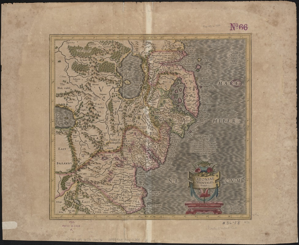
Vltoniae orientalis : pars
Item Information
- Title:
- Vltoniae orientalis : pars
- Title (alt.):
-
Ultoniae orientalis pars
- Creator:
- Mercator, Gerhard, 1512-1594
- Name on Item:
-
per Gerardum Mercatorem.
- Date:
-
[1628–1633]
- Format:
-
Maps/Atlases
- Location:
-
Boston Public Library
Norman B. Leventhal Map & Education Center - Collection (local):
-
Norman B. Leventhal Map & Education Center Collection
- Subjects:
-
Ulster (Northern Ireland and Ireland)--Maps--Early works to 1800
- Places:
-
Ulster (area)
- Extent:
- 1 map : col. ; 33 x 36 cm.
- Terms of Use:
-
No known copyright restrictions.
No known restrictions on use.
- Publisher:
-
Amsterdam :
H. Hondius
- Scale:
-
Scale ca. 1:316,800.
- Language:
-
Latin
French
- Notes:
-
Map of the eastern part of Ulster.
Relief shown pictorially.
Appears in the French ed. of the Mercator-Hondius Atlas. Amsterdam : H. Hondius, 1628 or 1633.
- Notes (date):
-
This date is inferred.
- Identifier:
-
06_01_007038
- Call #:
-
G5783.U4 1628 .M47x
- Barcode:
-
39999059029254


