Toggle navigation
LMEC Home
Exhibitions
Georeferencing
Tools for Teachers
Collections
My Favorites
Sign Up / Log In
Search
Search the map portal
Map Collection
Map Collection
Map Sets
Search
Search
Search for
Search In
All Fields
Creator
Title
Subject
Place
Search All Digital Collections
Advanced Search
8730 Results
My Search
Start Over
More Like
commonwealth:4m90f299m
Remove constraint More Like: commonwealth:4m90f299m
Filter your Search
Place
North and Central America
5,961
United States
4,879
Massachusetts
2,080
Europe
1,396
Suffolk (county)
1,047
Boston
1,020
Canada
450
Asia
438
more
Place
»
Topic
Boston (Mass.)--Maps
587
United States--Maps
282
Real property--Massachusetts--Boston--Maps
175
Massachusetts--Maps
162
Landowners--Massachusetts--Boston--Maps
133
North America--Maps--Early works to 1800
103
New England--Maps
102
Europe--Maps
79
more
Topic
»
Date
Date range begin
–
Date range end
Current results range from
1482
to
2023
View distribution
Creator
United States. Hydrographic Office
595
O.H. Bailey & Co
148
Des Barres, Joseph F. W. (Joseph Frederick Wallet), 1722-1824
123
United States. Post Office Dept
120
Ptolemy, 2nd cent
100
Walling, Henry Francis, 1825-1888
94
Geological Survey (U.S.)
86
Jefferys, Thomas, -1771
85
more
Creator
»
Format
Maps/Atlases
8,670
Manuscripts
217
Prints
56
Books
36
Objects/Artifacts
10
Drawings/Illustrations
8
Posters
5
Georeferenced
Yes
868
No
7,862
Collection
Norman B. Leventhal Map & Education Center Collection
8,694
Boston and New England Maps
2,233
Urban Maps
2,024
Maritime Charts and Atlases
1,083
American Revolutionary War-Era Maps
650
Boston Redevelopment Authority Collection
87
William L. Clements Library Collection
27
Maps from AAS
4
more
Collection
»
Available to use
No known restrictions
8,555
Creative Commons license
48
Search Constraints
Sort by relevance
relevance
title
date (asc)
date (desc)
Number of results to display per page
20 per page
10
per page
20
per page
50
per page
100
per page
View results as:
grid view
map view
Search Results
1.
Citizens & travelers guide map in, to and from the city of New York and adjacent places
2.
Johnson's map of New York and the adjacent cities
3.
Map of greater New York : Map of the borough of Manhattan
4.
Map of New York and vicinity
5.
Map of northern part of New York City
6.
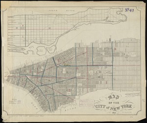
Map of the city & county of New York
7.
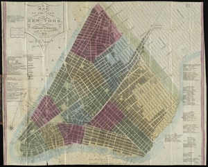
Map of the city & county of New York ; Upper part of the city and county of New York on a reduced scale
8.
Map of the city of New York
9.
Map of the city of New York, with the latest improvements
10.
A map of the wondrous isle of Manhattan
11.
New map of New York City : from the latest authentic surveys, showing all ferries, and all steamship docks both foreign and...
12.
Topographical map of the City and County of New-York, and the adjacent country : with views in the border of the principal...
13.
British troop dispositions in and near New York City, July and August 1781
14.
Plan of the city of New-York
15.
Center of New York, first city of the world
16.
The city of New York as laid out by the Commissioners with the surrounding country
17.
City of New-York
18.
Downtown district of Manhattan
19.
Ground plan of the markets of the City of New-York
20.
Insurance maps of the city of New York
‹ Prev
Next ›
1
2
3
4
5
…
436
437