Toggle navigation
LMEC Home
Exhibitions
Georeferencing
Tools for Teachers
Collections
My Favorites
Sign Up / Log In
Search
Search the map portal
Map Collection
Map Collection
Map Sets
Search
Search
Search for
Search In
All Fields
Creator
Title
Subject
Place
Search All Digital Collections
Advanced Search
1066 Results
My Search
Start Over
More Like
commonwealth:3f467621f
Remove constraint More Like: commonwealth:3f467621f
Filter your Search
Place
North and Central America
1,054
United States
1,035
Massachusetts
909
Suffolk (county)
749
Boston
747
Downtown Boston
35
Middlesex (county)
33
Rhode Island
31
more
Place
»
Topic
Boston (Mass.)--Maps
752
Massachusetts--Maps
235
City planning--Massachusetts--Boston--Maps
104
Real property--Massachusetts--Boston--Maps
100
Landowners--Massachusetts--Boston--Maps
74
Urban renewal--Massachusetts--Boston--Maps
63
Local transit--Massachusetts--Boston--Maps
47
Land use--Massachusetts--Boston--Maps
35
more
Topic
»
Date
Date range begin
–
Date range end
Current results range from
1743
to
2023
View distribution
Creator
Boston Redevelopment Authority
115
MassGIS (Office : Mass.)
63
Applied Geographics, Inc.
61
Massachusetts. Executive Office of Environmental Affairs
40
Geo. H. Walker & Co
32
Boynton, George W., d. 1884
22
Boston Public Library. Norman B. Leventhal Map and Education Center
21
Sampson, Davenport & Co
21
more
Creator
»
Format
Maps/Atlases
1,063
Manuscripts
12
Ephemera
2
Prints
1
Georeferenced
Yes
151
No
915
Collection
Norman B. Leventhal Map & Education Center Collection
899
Boston and New England Maps
809
Urban Maps
521
Applied Geographics, Inc. Records
144
Boston Redevelopment Authority Collection
123
American Revolutionary War-Era Maps
45
Mapping Boston Collection
22
David Judkins Weaver Papers
20
more
Collection
»
Available to use
No known restrictions
963
Creative Commons license
45
Search Constraints
Sort by relevance
relevance
title
date (asc)
date (desc)
Number of results to display per page
20 per page
10
per page
20
per page
50
per page
100
per page
View results as:
grid view
map view
Search Results
701.
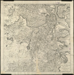
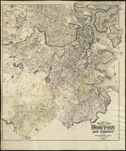
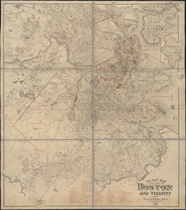
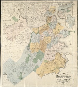
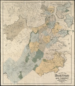
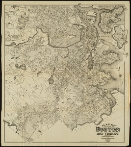
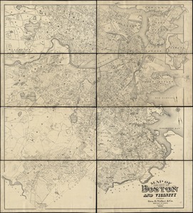
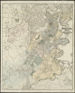
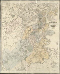
Map of the city of Boston and vicinity
702.
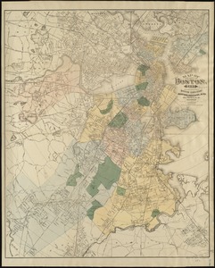
Map of the city of Boston and vicinity
703.
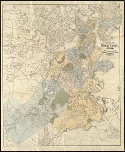
Map of the city of Boston and vicinity
704.
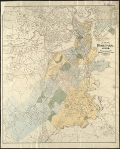
Map of the city of Boston and vicinity
705.
Map of the city of Boston and vicinity
706.
Map of the city of Boston and vicinity
707.
Map of the city of Boston and vicinity
708.
Map of the city of Boston, for 1890
709.
Map of the city of Boston, for 1891
710.
Map of the city of Boston, for 1892
711.
Map of the city of Boston, for 1893
712.
Map of the city of Boston, for 1894
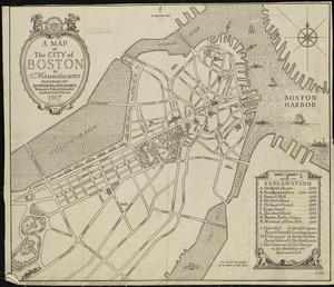
713.
A map of the city of Boston in Massachusetts
714.
Map of the City of Boston, Massachusetts
715.
Map of the city of Boston Massachusetts
716.
Map of the city of Boston, Massts., 1852
717.
A map of the coast of New England from Staten Island to the island of Breton
718.
Map of the eastern junc. Broad Sound Pier, & Pt. Shirley railroad : steamboat lines and connections : established for the...
719.
[Map of the end of Boston Wharf from which restrictions are to be taken off]
720.
Map of the existing and proposed circumferential thoroughfares of the district
‹ Prev
Next ›
1
2
…
32
33
34
35
36
37
38
39
40
…
53
54


![[Map of the end of Boston Wharf from which restrictions are to be taken off]](https://bpldcassets.blob.core.windows.net/derivatives/images/commonwealth:9s161d66k/image_thumbnail_300.jpg)
