Toggle navigation
LMEC Home
Exhibitions
Georeferencing
Tools for Teachers
Collections
My Favorites
Sign Up / Log In
Search
Search the map portal
Map Collection
Map Collection
Map Sets
Search
Search
Search for
Search In
All Fields
Creator
Title
Subject
Place
Search All Digital Collections
Advanced Search
8647 Results
My Search
Start Over
More Like
commonwealth:3f463b00t
Remove constraint More Like: commonwealth:3f463b00t
Filter your Search
Place
North and Central America
5,887
United States
4,806
Massachusetts
2,068
Europe
1,391
Suffolk (county)
1,042
Boston
1,015
Canada
449
Asia
437
more
Place
»
Topic
Boston (Mass.)--Maps
583
United States--Maps
279
Real property--Massachusetts--Boston--Maps
175
Massachusetts--Maps
161
Landowners--Massachusetts--Boston--Maps
133
North America--Maps--Early works to 1800
103
New England--Maps
101
Europe--Maps
79
more
Topic
»
Date
Date range begin
–
Date range end
Current results range from
1482
to
2023
View distribution
Creator
United States. Hydrographic Office
595
O.H. Bailey & Co
148
Des Barres, Joseph F. W. (Joseph Frederick Wallet), 1722-1824
123
United States. Post Office Dept
120
Ptolemy, 2nd cent
100
Walling, Henry Francis, 1825-1888
94
Geological Survey (U.S.)
86
Jefferys, Thomas, -1771
85
more
Creator
»
Format
Maps/Atlases
8,587
Manuscripts
215
Prints
56
Books
36
Objects/Artifacts
10
Drawings/Illustrations
8
Posters
5
Georeferenced
Yes
869
No
7,778
Collection
Norman B. Leventhal Map & Education Center Collection
8,646
Boston and New England Maps
2,222
Urban Maps
1,993
Maritime Charts and Atlases
1,083
American Revolutionary War-Era Maps
615
Boston Redevelopment Authority Collection
88
Available to use
No known restrictions
8,505
Creative Commons license
47
Search Constraints
Sort by relevance
relevance
title
date (asc)
date (desc)
Number of results to display per page
20 per page
10
per page
20
per page
50
per page
100
per page
View results as:
grid view
map view
Search Results
1.
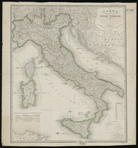
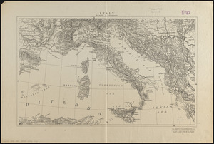
Carta d'Italia : alla scala di la 800,000
2.
Carta geografica e postale dell' Italia ridotta dalle migliori carte fin' ora esistenti coll' indicazione di tutte le strade...
3.
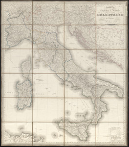
Carta statistica e postale dell'Italia
4.
Carte physique & routière de l'Italie indiquant les distances d'un relais à l'autre et les dernières divisions politiques
5.
Carte physique et routière de la France, de la Suisse, et de l'Italie septentrionale, indiquant aussi les relais, leurs...
6.
Charte von Italien : Nach seiner neuesten Eintheilung und den vorzüglichsten Hülfsmitteln
7.
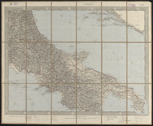
Hammond's large scale war map of the Italian Front
8.
L'Italia
9.
Italia cum insulis et regionibus finitimis
10.
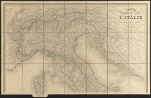
Italie
11.
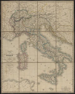
Italy
12.
Italy
13.
Italy
14.
Italy, and Sardinia, from the best authorities
15.
Italy with Vatican City
16.
Map of Italy and Switzerland
17.
Map of Italy with the ancient and modern names
18.
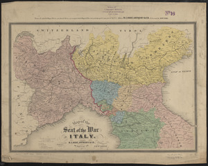
Map of the seat of the war in Italy
19.
Mediterranean Sea, plans on the coasts of Italy and Sicilia
20.
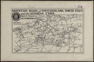
Mountain roads of Switzerland, north Italy and the Austrian Tyrol : open & closed to automobiles
‹ Prev
Next ›
1
2
3
4
5
…
432
433