Toggle navigation
LMEC Home
Exhibitions
Georeferencing
Tools for Teachers
Collections
My Favorites
Sign Up / Log In
Search
Search the map portal
Map Collection
Map Collection
Map Sets
Search
Search
Search for
Search In
All Fields
Creator
Title
Subject
Place
Search All Digital Collections
Advanced Search
8943 Results
My Search
Start Over
More Like
commonwealth:3f463917s
Remove constraint More Like: commonwealth:3f463917s
Filter your Search
Place
North and Central America
6,174
United States
5,076
Massachusetts
2,195
Europe
1,396
Suffolk (county)
1,207
Boston
1,180
Canada
450
Asia
438
more
Place
»
Topic
Boston (Mass.)--Maps
752
United States--Maps
282
Massachusetts--Maps
235
Real property--Massachusetts--Boston--Maps
195
City planning--Massachusetts--Boston--Maps
157
Landowners--Massachusetts--Boston--Maps
142
New England--Maps
106
North America--Maps--Early works to 1800
103
more
Topic
»
Date
Date range begin
–
Date range end
Current results range from
1482
to
2023
View distribution
Creator
United States. Hydrographic Office
595
Boston Redevelopment Authority
162
O.H. Bailey & Co
148
Des Barres, Joseph F. W. (Joseph Frederick Wallet), 1722-1824
124
United States. Post Office Dept
120
Ptolemy, 2nd cent
100
Walling, Henry Francis, 1825-1888
95
Geological Survey (U.S.)
92
more
Creator
»
Format
Maps/Atlases
8,882
Manuscripts
219
Prints
56
Books
36
Objects/Artifacts
10
Drawings/Illustrations
8
Posters
5
Ephemera
1
Georeferenced
Yes
894
No
8,049
Collection
Norman B. Leventhal Map & Education Center Collection
8,765
Boston and New England Maps
2,404
Urban Maps
2,144
Maritime Charts and Atlases
1,083
American Revolutionary War-Era Maps
659
Boston Redevelopment Authority Collection
194
Applied Geographics, Inc. Records
22
Mapping Boston Collection
22
more
Collection
»
Available to use
No known restrictions
8,707
Creative Commons license
73
Search Constraints
Sort by relevance
relevance
title
date (asc)
date (desc)
Number of results to display per page
20 per page
10
per page
20
per page
50
per page
100
per page
View results as:
grid view
map view
Search Results
8141.
La Terra di Lavoro ed I principati citeriore ulteriore
8142.
Terra di Lavoro, olim Campania felix
8143.
Terra di Otranto olim Salentina et Iapigia
8144.
Terra Firma and the Caribbé Islands &c
8145.
Terra Firma et Novum regnum Granatense et Popayan
8146.
Terra firma et novum regnum Granatense et Popayan
8147.
Terra Firma et novum regnum Granatense et Popayan
8148.
Terra firma et novum regnum Granatense et Popayan
8149.
Terra nova, ac maris tractus circa Novam Franciam, Angliam, Belgium, Venezuelam Novam, Andalusiam, Guianan, et Brasiliam =...
8150.
Terre Artiche
8151.
Terre ferme ou sont les governations ou gouvernemens de Terre ferme, Cartagene Ste. Marthe, Rio de la Hache, Venezuela,...
8152.
Territorial acquisitions, 1783-1853
8153.
Territories of New Mexico & Arizona
8154.
Territorio di Bologna
8155.
Territorio di Orvieto
8156.
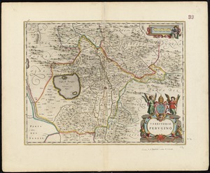
Territorio Perugino
8157.
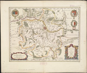
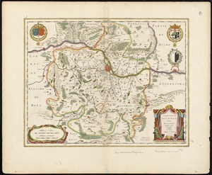
Territorium Metense = Le pais Messin
8158.
Territorium Metense = Le pais Messin
8159.
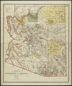
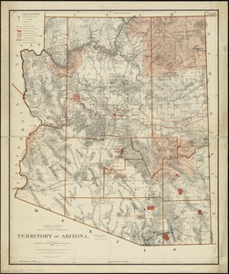
Territory of Arizona
8160.
Territory of Arizona
‹ Prev
Next ›
1
2
…
404
405
406
407
408
409
410
411
412
…
447
448