Toggle navigation
LMEC Home
Exhibitions
Georeferencing
Tools for Teachers
Collections
My Favorites
Sign Up / Log In
Search
Search the map portal
Map Collection
Map Collection
Map Sets
Search
Search
Search for
Search In
All Fields
Creator
Title
Subject
Place
Search All Digital Collections
Advanced Search
8943 Results
My Search
Start Over
More Like
commonwealth:3f463917s
Remove constraint More Like: commonwealth:3f463917s
Filter your Search
Place
North and Central America
6,174
United States
5,076
Massachusetts
2,195
Europe
1,396
Suffolk (county)
1,207
Boston
1,180
Canada
450
Asia
438
more
Place
»
Topic
Boston (Mass.)--Maps
752
United States--Maps
282
Massachusetts--Maps
235
Real property--Massachusetts--Boston--Maps
195
City planning--Massachusetts--Boston--Maps
157
Landowners--Massachusetts--Boston--Maps
142
New England--Maps
106
North America--Maps--Early works to 1800
103
more
Topic
»
Date
Date range begin
–
Date range end
Current results range from
1482
to
2023
View distribution
Creator
United States. Hydrographic Office
595
Boston Redevelopment Authority
162
O.H. Bailey & Co
148
Des Barres, Joseph F. W. (Joseph Frederick Wallet), 1722-1824
124
United States. Post Office Dept
120
Ptolemy, 2nd cent
100
Walling, Henry Francis, 1825-1888
95
Geological Survey (U.S.)
92
more
Creator
»
Format
Maps/Atlases
8,882
Manuscripts
219
Prints
56
Books
36
Objects/Artifacts
10
Drawings/Illustrations
8
Posters
5
Ephemera
1
Georeferenced
Yes
894
No
8,049
Collection
Norman B. Leventhal Map & Education Center Collection
8,765
Boston and New England Maps
2,404
Urban Maps
2,144
Maritime Charts and Atlases
1,083
American Revolutionary War-Era Maps
659
Boston Redevelopment Authority Collection
194
Applied Geographics, Inc. Records
22
Mapping Boston Collection
22
more
Collection
»
Available to use
No known restrictions
8,707
Creative Commons license
73
Search Constraints
Sort by relevance
relevance
title
date (asc)
date (desc)
Number of results to display per page
20 per page
10
per page
20
per page
50
per page
100
per page
View results as:
grid view
map view
Search Results
5741.
New topographical atlas of the county of Worcester, Massachusetts : containing fifty-five double page maps, in colors, of the...
5742.
The new war map of Maryland, part of Virginia & Pennsylvania
5743.
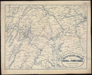
The new war map of Virginia, Maryland & Pennsylvania
5744.
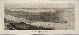
New York
5745.
New York : From Bergen Hill, Hoboken
5746.
New York
5747.
New York, 1695
5748.
New York City : the business center of the borough of Manhattan
5749.
New York City : (southern part)
5750.
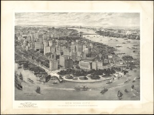
[New York City, from the Battery to 63rd street]
5751.
New York city map
5752.
New York City map
5753.
The New York, New Haven & Hartford Railroad and connections
5754.
A New Yorker's idea of the United States of America
5755.
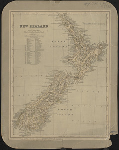
New Zealand
5756.
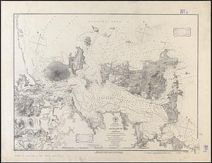
New Zealand, Middle and South Islands
5757.
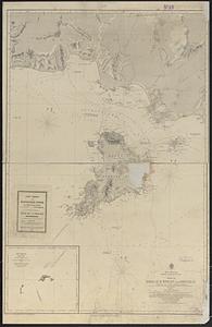
New Zealand, North Island - east coast, Auckland Hr. and approaches : from British surveys in 1849-55 ; republication of Brit....
5758.
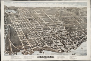
Newburgh, N.Y : 1875
5759.
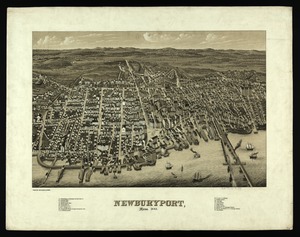
Newburyport, Mass
5760.
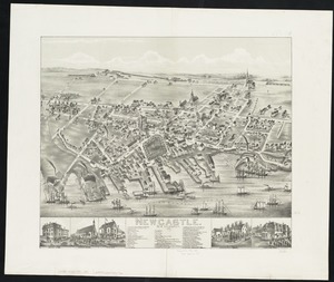
Newcastle : New Brunswick
‹ Prev
Next ›
1
2
…
284
285
286
287
288
289
290
291
292
…
447
448


![[New York City, from the Battery to 63rd street]](https://bpldcassets.blob.core.windows.net/derivatives/images/commonwealth:4m90f274r/image_thumbnail_300.jpg)