Toggle navigation
LMEC Home
Exhibitions
Georeferencing
Tools for Teachers
Collections
My Favorites
Sign Up / Log In
Search
Search the map portal
Map Collection
Map Collection
Map Sets
Search
Search
Search for
Search In
All Fields
Creator
Title
Subject
Place
Search All Digital Collections
Advanced Search
8943 Results
My Search
Start Over
More Like
commonwealth:3f463917s
Remove constraint More Like: commonwealth:3f463917s
Filter your Search
Place
North and Central America
6,174
United States
5,076
Massachusetts
2,195
Europe
1,396
Suffolk (county)
1,207
Boston
1,180
Canada
450
Asia
438
more
Place
»
Topic
Boston (Mass.)--Maps
752
United States--Maps
282
Massachusetts--Maps
235
Real property--Massachusetts--Boston--Maps
195
City planning--Massachusetts--Boston--Maps
157
Landowners--Massachusetts--Boston--Maps
142
New England--Maps
106
North America--Maps--Early works to 1800
103
more
Topic
»
Date
Date range begin
–
Date range end
Current results range from
1482
to
2023
View distribution
Creator
United States. Hydrographic Office
595
Boston Redevelopment Authority
162
O.H. Bailey & Co
148
Des Barres, Joseph F. W. (Joseph Frederick Wallet), 1722-1824
124
United States. Post Office Dept
120
Ptolemy, 2nd cent
100
Walling, Henry Francis, 1825-1888
95
Geological Survey (U.S.)
92
more
Creator
»
Format
Maps/Atlases
8,882
Manuscripts
219
Prints
56
Books
36
Objects/Artifacts
10
Drawings/Illustrations
8
Posters
5
Ephemera
1
Georeferenced
Yes
894
No
8,049
Collection
Norman B. Leventhal Map & Education Center Collection
8,765
Boston and New England Maps
2,404
Urban Maps
2,144
Maritime Charts and Atlases
1,083
American Revolutionary War-Era Maps
659
Boston Redevelopment Authority Collection
194
Applied Geographics, Inc. Records
22
Mapping Boston Collection
22
more
Collection
»
Available to use
No known restrictions
8,707
Creative Commons license
73
Search Constraints
Sort by relevance
relevance
title
date (asc)
date (desc)
Number of results to display per page
20 per page
10
per page
20
per page
50
per page
100
per page
View results as:
grid view
map view
Search Results
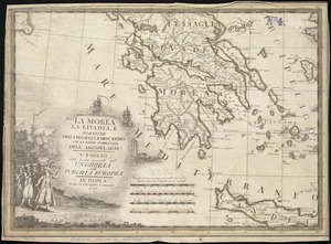
5401.
La Morea, la Livadia, e porzione della Tessaglia, e Dell' Epiro con la parte occidentale dell' arcipelago : V. Foglio della...
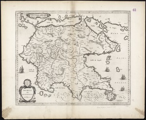
5402.
Morea olim Peloponnesus
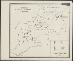
5403.
Morocco, location of mineral resources
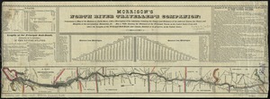
5404.
Morrison's North River traveller's companion : containing a map of the Hudson River, with a description of the adjoining...
5405.
Morrisville, Bucks County, Pennsylvania, 1893
5406.
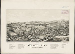
Morrisville, Vt : looking southwest
5407.
Mount Auburn, avenues and paths
5408.
Mount Desert Island and neighboring coast of Maine
5409.
Mount Desert Island and neighboring coast of Maine
5410.
Mount Hope Bridge, Bristol, Rhode Island
5411.
Mountain region of North Carolina and Tennessee
5412.
Mountain region of North Carolina and Tennessee
5413.
Mountain region of North Carolina and Tennessee
5414.
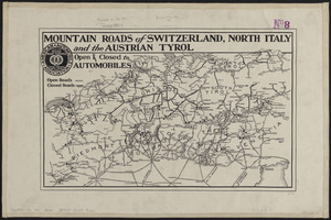
Mountain roads of Switzerland, north Italy and the Austrian Tyrol : open & closed to automobiles
5415.
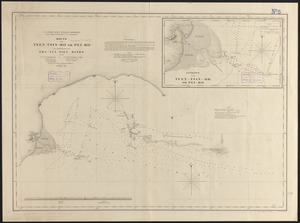
Mouth of the Teen-tsin-ho or Pei-ho and approach to the Sha-lui-tien banks
5416.
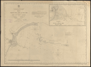
Mouth of the Teen-tsin-ho or Pei-ho and approach to the Sha-lui-tien banks
5417.
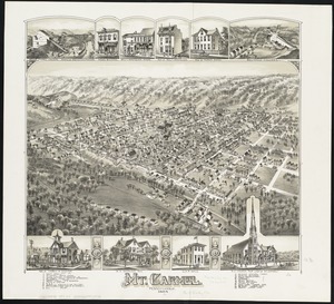
Mt. Carmel : Pennsylvania
5418.
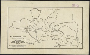
Mt. Monadnock trails laid out and developed by Scott A. Smith, 1894 to 1907, and as below 1907-8-9
5419.
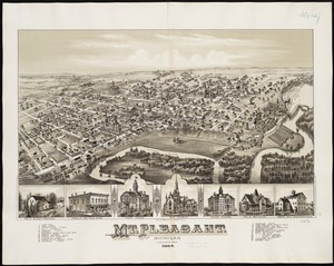
Mt. Pleasant, Michigan : 1884
5420.
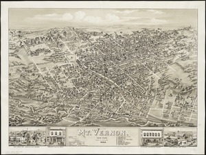
Mt. Vernon : New York, 1883
‹ Prev
Next ›
1
2
…
267
268
269
270
271
272
273
274
275
…
447
448